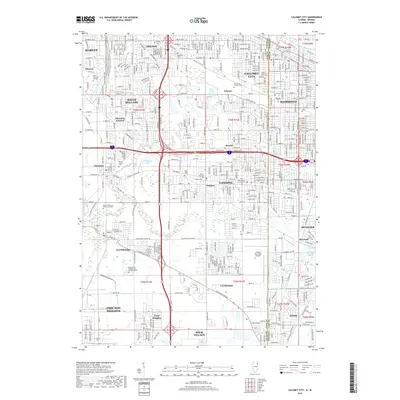
2018 Map of Calumet City
USGS Topo · Published 2018About this map
Calumet City and Hammond anchor this detailed study of the Illinois-Indiana borderlands, where the Grand Calumet River and Schoon Ditch weave through a densely developed landscape. The map reveals an area defined by its complex water management and extensive memorial grounds, including the large Mount Glenwood Memory Gardens and Concordia Cem. The presence of the Lansing Municipal Airport and South Suburban College highlights the civic infrastructure supporting these growing suburban communities. Residential blocks are interrupted by significant recreational and natural features like Green Lake and Wampum Lake, while the intricate street grids of Lansing, Munster, and South Holland demonstrate the late 20th-century expansion of the Chicago metropolitan periphery. This survey provides a precise record of the transport corridors and township boundaries that shaped the region's development.
Find a feature on this map
70 named features on this map. Tap any name to fly to it.
Don’t see what you’re looking for? This feature index may not catch every label — zoom into the map to look around manually.
Map Details
Editions of this 2018 Calumet City Map
This is the sole edition of this map. No revisions or reprints were ever made.
Other maps of this area

1892 · Calumet
USGS Topo · 1:62,500

1893 · Calumet
USGS Topo · 1:62,500

1900 · Toleston
USGS Topo · 1:62,500

1900 · Calumet
USGS Topo · 1:62,500

1901 · Calumet
USGS Topo · 1:62,500

1929 · Calumet Lake
USGS Topo · 1:24,000

1929 · Calumet City
USGS Topo · 1:24,000
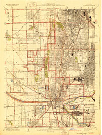
1929 · Blue Island
USGS Topo · 1:24,000

1929 · Harvey
USGS Topo · 1:24,000

1929 · Dyer
USGS Topo · 1:24,000