
1929 Map of Harvey
USGS Topo · Published 1929About this map
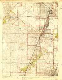
Markham Yards dominates the eastern industrial corridor of this 1920s survey, illustrating the massive rail infrastructure of the Illinois Central RR as it approaches Chicago. The landscape reflects a transitional era where vast country clubs and institutional grounds like the Oak Forest Institutions and Glenwood Manual Training School sit alongside growing residential grids in Harvey, Homewood, and Flossmoor. The map records a concentration of recreation and leisure sites typical of the suburbanizing south side, including the Washington Park Race Course, the Illinois Kennel Club, and numerous golf courses like the Ravisloe Country Club. Genealogy researchers can locate family plots at Oaklawn Cemetery or the Franklin Hazelwood Cemetery, while local historians can trace old school districts via Stehl Sch, Stelter Sch, and School No 160 scattered across the townships of Bremen and Thornton.
Find a feature on this map
63 named features on this map. Tap any name to fly to it.
Don’t see what you’re looking for? This feature index may not catch every label — zoom into the map to look around manually.
Map Details
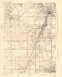
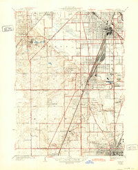
Editions of this 1929 Harvey Map
4 editions found
Other maps of this area

1890 · Des Plaines
USGS Topo · 1:62,500

1892 · Calumet
USGS Topo · 1:62,500

1893 · Calumet
USGS Topo · 1:62,500

1894 · Des Plaines
USGS Topo · 1:62,500

1900 · Des Plaines
USGS Topo · 1:62,500

1900 · Calumet
USGS Topo · 1:62,500

1901 · Calumet
USGS Topo · 1:62,500

1901 · Des Plaines
USGS Topo · 1:62,500

1928 · Palos Park
USGS Topo · 1:24,000

1929 · Tinley Park
USGS Topo · 1:24,000