
1929 Map of Tinley Park
USGS Topo · Published 1929About this map
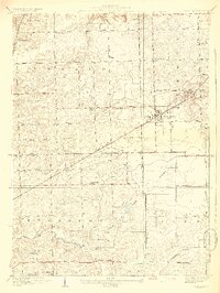
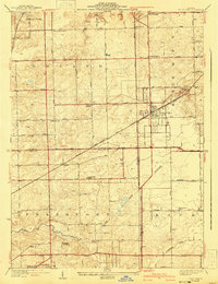
Tinley Park and Orland Park anchor this 1920s survey of the borderlands between Cook and Will Counties. The landscape is defined by a grid of rural section roads and small school districts, including Orland Center School and School No 141, reflecting the region's educational organization before mid-century consolidation. Transportation routes show a transition between the old rail economy and the emerging motor age, with the Chicago and Pacific RR and Wabash RR cutting diagonally across the terrain while the Lincoln State Highway runs along the southern edge. Local genealogy is well-documented through landmarks like Tinley Park Cemetery, Pleasant Hill Cemetery, and the Orland Church. To the south, Hickory Creek and Butterfield Creek provide the primary natural drainage through the township of Frankfort. This detailed topography captures the area just as suburban expansion began to overlay the original agricultural township structure.
Find a feature on this map
38 named features on this map. Tap any name to fly to it.
Don’t see what you’re looking for? This feature index may not catch every label — zoom into the map to look around manually.
Map Details
Editions of this 1929 Tinley Park Map
3 editions found
Other maps of this area

1890 · Des Plaines
USGS Topo · 1:62,500

1892 · Calumet
USGS Topo · 1:62,500

1893 · Calumet
USGS Topo · 1:62,500

1894 · Des Plaines
USGS Topo · 1:62,500

1900 · Des Plaines
USGS Topo · 1:62,500

1900 · Calumet
USGS Topo · 1:62,500

1901 · Calumet
USGS Topo · 1:62,500

1901 · Des Plaines
USGS Topo · 1:62,500

1928 · Palos Park
USGS Topo · 1:24,000

1928 · Sag Bridge
USGS Topo · 1:24,000