2000s (21st Century) Maps of Merrillville, Ross Township
Explore 25 historic maps of Merrillville from the 2000s (21st Century). These maps offer a rare glimpse into what life looked like during the 2000s — showing old roads, neighborhoods, homes, and landmarks that have changed or disappeared over time.
Whether you're researching your family's past, planning a metal detecting trip, or studying how Merrillville's landscape evolved across the 2000s, these high-resolution maps are a powerful tool for exploring the history of this region.
- Focus on a specific era: All maps on this page are from the 2000s, giving you a focused view of this time period.
- See what’s changed: Compare century-old streets, trails, and buildings to today's modern landscape using overlays and satellite layers.
- Research with precision: Use these maps for genealogy, historical research, land use analysis, or educational projects.
- View, download, or print: Maps are fully viewable online in high resolution, and can be downloaded or printed for your own records.
Start exploring Merrillville's history through authentic maps from the 2000s. This is your window into the past.
Merrillville, Ross Township maps
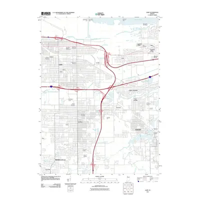
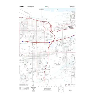
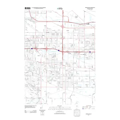
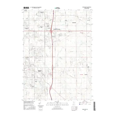
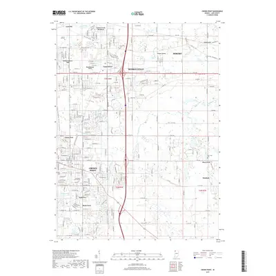
(25)- 2010 Map of Crown Point, 2010 Print
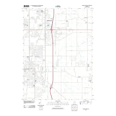 2010 Crown Point2010 Print · USGSCovers Merrillville, including Hobart, Crown Point, and other nearby areas
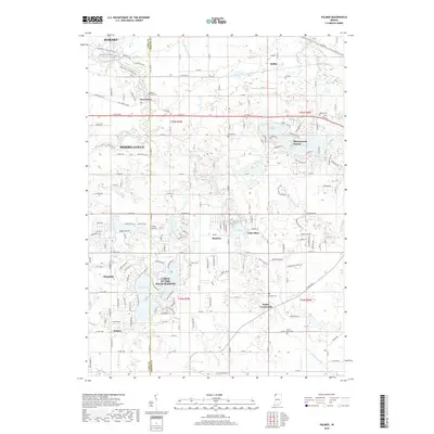
 - 2010 Map of Palmer, 2010 Print
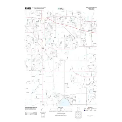
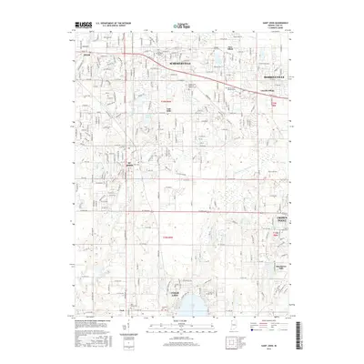
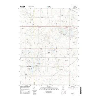
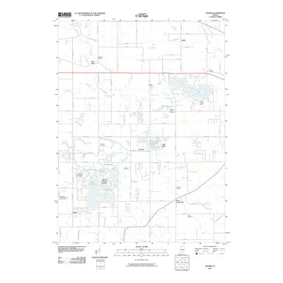 2010 Palmer2010 Print · USGSCovers Merrillville, including Hobart, Winfield, and other nearby areas
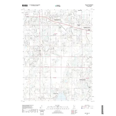
 - 2010 Map of Saint John, 2010 Print
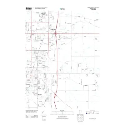
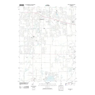 2010 Saint John2010 Print · USGSCovers Merrillville, including Schererville, Crown Point, and other nearby areas
 - 2011 Map of Highland, 2011 Print
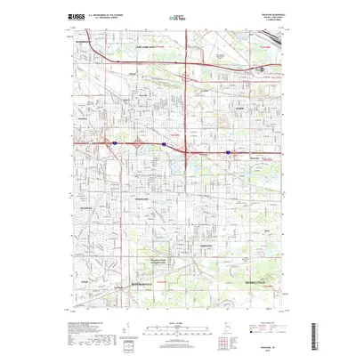
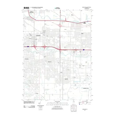 2011 Highland2011 Print · USGSCovers Merrillville, including Hammond, Gary, and other nearby areas
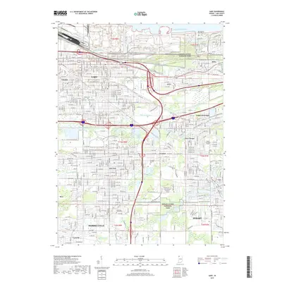
 - 2011 Map of Gary, 2011 Print
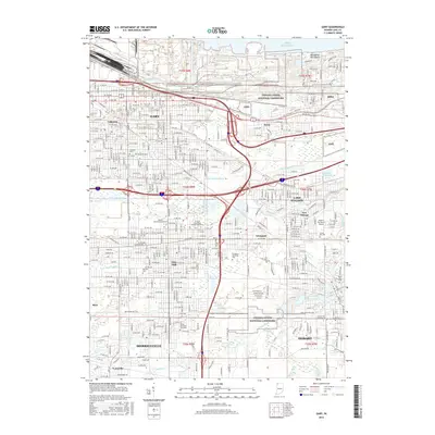
 2011 Gary2011 Print · USGSCovers Merrillville, including Gary, Hobart, and other nearby areas
 - 2013 Map of Palmer, 2013 Print
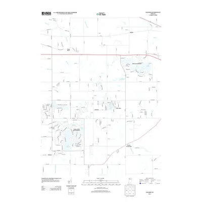 2013 Palmer2013 Print · USGSCovers Merrillville, including Hobart, Winfield, and other nearby areas
 - 2013 Map of Crown Point, 2013 Print
 2013 Crown Point2013 Print · USGSCovers Merrillville, including Hobart, Crown Point, and other nearby areas
 - 2013 Map of Gary, 2013 Print
 2013 Gary2013 Print · USGSCovers Merrillville, including Gary, Hobart, and other nearby areas
 - 2013 Map of Highland, 2013 Print
 2013 Highland2013 Print · USGSCovers Merrillville, including Hammond, Gary, and other nearby areas
 - 2013 Map of Saint John, 2013 Print
 2013 Saint John2013 Print · USGSCovers Merrillville, including Schererville, Crown Point, and other nearby areas
 - 2016 Map of Highland, 2016 Print
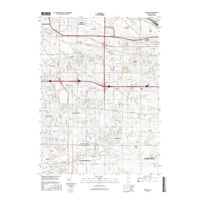 2016 Highland2016 Print · USGSCovers Merrillville, including Hammond, Gary, and other nearby areas
 - 2016 Map of Saint John, 2016 Print
 2016 Saint John2016 Print · USGSCovers Merrillville, including Schererville, Crown Point, and other nearby areas
 - 2016 Map of Crown Point, 2016 Print
 2016 Crown Point2016 Print · USGSCovers Merrillville, including Hobart, Crown Point, and other nearby areas
 - 2016 Map of Palmer, 2016 Print
 2016 Palmer2016 Print · USGSCovers Merrillville, including Hobart, Winfield, and other nearby areas
 - 2016 Map of Gary, 2016 Print
 2016 Gary2016 Print · USGSCovers Merrillville, including Gary, Hobart, and other nearby areas
 - 2019 Map of Highland, 2019 Print
 2019 Highland2019 Print · USGSCovers Merrillville, including Hammond, Gary, and other nearby areas
 - 2019 Map of Saint John, 2019 Print
 2019 Saint John2019 Print · USGSCovers Merrillville, including Schererville, Crown Point, and other nearby areas
 - 2019 Map of Gary, 2019 Print
 2019 Gary2019 Print · USGSCovers Merrillville, including Gary, Hobart, and other nearby areas
 - 2019 Map of Palmer, 2019 Print
 2019 Palmer2019 Print · USGSCovers Merrillville, including Hobart, Winfield, and other nearby areas
 - 2019 Map of Crown Point, 2019 Print
 2019 Crown Point2019 Print · USGSCovers Merrillville, including Hobart, Crown Point, and other nearby areas
 - 2022 Map of Gary, 2022 Print
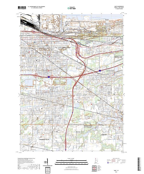 2022 Gary2022 Print · USGSThe industrial and lakeside landscapes of Northwest Indiana are captured here in the early 2020s, from the Lake Michigan shore to Hobart. Researchers can trace urban change and community landmarks like Oak Hill Cem, Hobart Sky Ranch Airport, and the protected reaches of Indiana Dunes National Park.
 - 2022 Map of Highland, 2022 Print
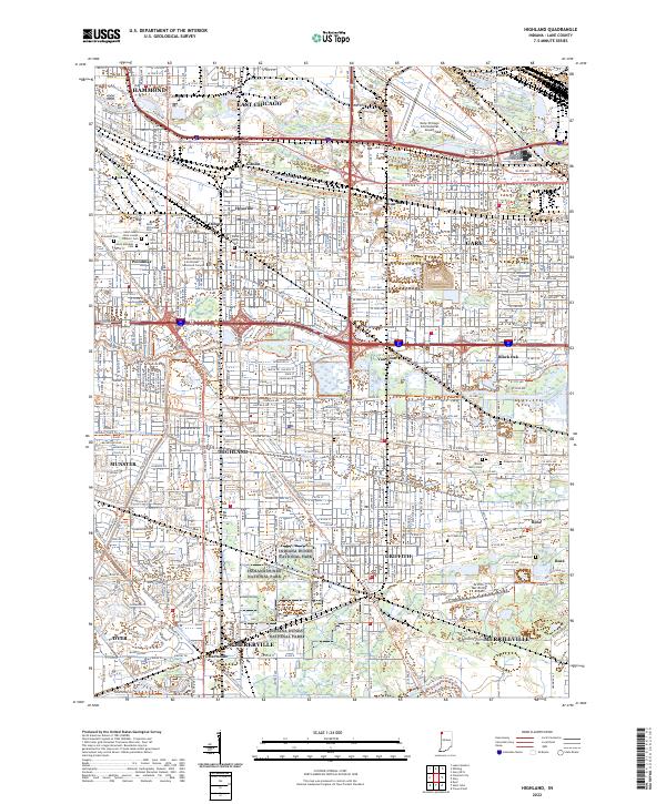 2022 Highland2022 Print · USGSThis Northwest Indiana industrial corridor comes to life in the early 2020s, showcasing the dense settlement between the Calumet rivers. Genealogists can locate family sites at Saint Marys Cem or Ridgelawn Cem, while others trace the Erie Lackawanna Cross Town Trl.
 - 2022 Map of Saint John, 2022 Print
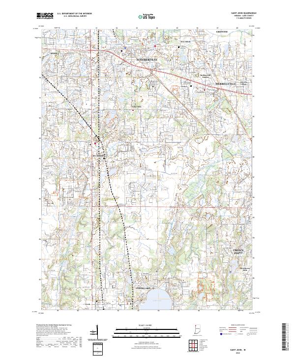 2022 Saint John2022 Print · USGSLake County suburban growth meets historic corridors in the modern era between St. John and Crown Point. Genealogists and local historians can trace legacy sites like the Hack Family Cem and follow the route of the Old Lincoln Hwy.
 - 2022 Map of Palmer, 2022 Print
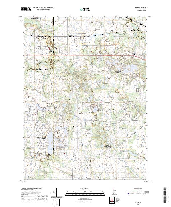 2022 Palmer2022 Print · USGSPorter County's shifting landscape between the early suburban expansion and rural drainage districts is captured here in the early 2020s. Genealogists and local historians can trace family plots at Deep River Cem or explore the growth of Winfield and Shorewood Forest.
 - 2022 Map of Crown Point, 2022 Print
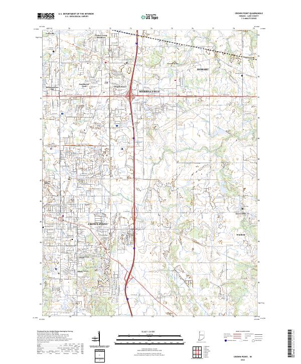 2022 Crown Point2022 Print · USGSThe suburban expansion and civic heart of Lake County are captured here in the early 2020s. Genealogists and local researchers can trace legacy sites like Saint Marys Cem, the Lake County Government Complex Courts Building, and the Old Lincoln Hwy.
End of results
Showing maps 1-25 of 25
Top cities near Merrillville
- Chicago historical maps
- Hammond historical maps
- Gary historical maps
- Portage historical maps
- Calumet City historical maps
- Valparaiso historical maps
See more
Top neighborhoods of Merrillville
- Deep River historical maps
- Lottaville historical maps
- Turkey Creek Meadows historical maps
- Independence Hill historical maps
- Chapel Manor historical maps
- Southmoor Park historical maps
See more
Frequently asked questions
- What are the different types of historical maps available for Merrillville?
- What is the oldest map of Merrillville?
- Where can I purchase historical maps of Merrillville for my home or office?
- Where can I download high-res historical maps of Merrillville?
- Are there historical topographic maps available for Merrillville?
- Is there historical aerial imagery available for Merrillville?
- Where are historical maps of Merrillville sourced from?