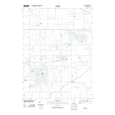
2010 Map of Palmer
USGS Topo · Published 2010About this map
Lakes of the Four Seasons defines the southwestern landscape of this Indiana region, characterized by a complex network of residential roads surrounding Lake Holiday, Big Bass Lake, and Trouthaven Lake. This master-planned community development is a focal point of the local geography, featuring the Lakes of the Four Seasons Golf Course and private shoreline access. Further north, the settlement of Deep River sits along its namesake waterway, Deep River, which meanders through the northwest corner of the quadrangle.
Find a feature on this map
62 named features on this map. Tap any name to fly to it.
Don’t see what you’re looking for? This feature index may not catch every label — zoom into the map to look around manually.
Map Details
Editions of this 2010 Palmer Map
This is the sole edition of this map. No revisions or reprints were ever made.
Other maps of this area

1900 · Toleston
USGS Topo · 1:62,500

1934 · Porter
USGS Topo · 1:48,000

1940 · Porter
USGS Topo · 1:62,500

1953 · Leroy
USGS Topo · 1:24,000

1953 · Palmer
USGS Topo · 1:24,000

1953 · Gary
USGS Topo · 1:24,000

1953 · Crown Point
USGS Topo · 1:24,000

1953 · Hebron
USGS Topo · 1:24,000

1953 · Garyton
USGS Topo · 1:24,000

1953 · Valparaiso
USGS Topo · 1:24,000