2000s (21st Century) Maps of Long Beach, Indiana
Explore 15 historic maps of Long Beach from the 2000s (21st Century). These maps offer a rare glimpse into what life looked like during the 2000s — showing old roads, neighborhoods, homes, and landmarks that have changed or disappeared over time.
Whether you're researching your family's past, planning a metal detecting trip, or studying how Long Beach's landscape evolved across the 2000s, these high-resolution maps are a powerful tool for exploring the history of this region.
- Focus on a specific era: All maps on this page are from the 2000s, giving you a focused view of this time period.
- See what’s changed: Compare century-old streets, trails, and buildings to today's modern landscape using overlays and satellite layers.
- Research with precision: Use these maps for genealogy, historical research, land use analysis, or educational projects.
- View, download, or print: Maps are fully viewable online in high resolution, and can be downloaded or printed for your own records.
Start exploring Long Beach's history through authentic maps from the 2000s. This is your window into the past.
Long Beach, IN maps
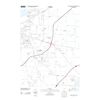
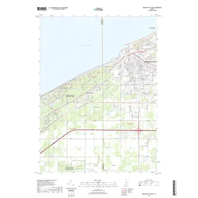
(15)- 2010 Map of Michigan City West, 2010 Print
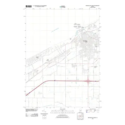 2010 Michigan City West2010 Print · USGSCovers Long Beach, including Michigan City, Town of Pines, and other nearby areas
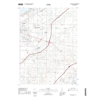
 - 2010 Map of Michigan City East, 2010 Print
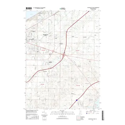
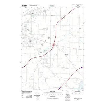 2010 Michigan City East2010 Print · USGSCovers Long Beach, including Michigan City, La Porte, and other nearby areas
 - 2011 Map of New Buffalo West, 2011 Print
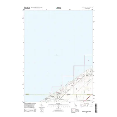
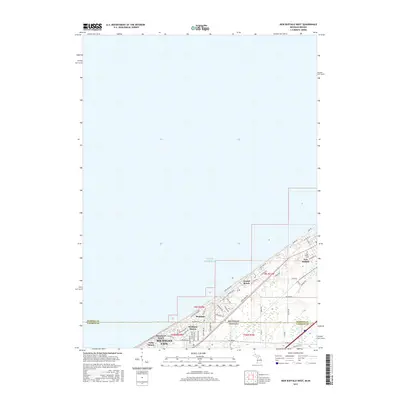
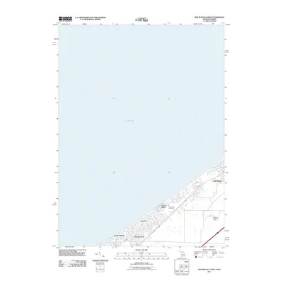 2011 New Buffalo West2011 Print · USGSCovers Long Beach, including Michigan City, New Buffalo, and other nearby areas
 - 2013 Map of Michigan City West, 2013 Print
 2013 Michigan City West2013 Print · USGSCovers Long Beach, including Michigan City, Town of Pines, and other nearby areas
 - 2013 Map of Michigan City East, 2013 Print
 2013 Michigan City East2013 Print · USGSCovers Long Beach, including Michigan City, La Porte, and other nearby areas
 - 2014 Map of New Buffalo West, 2014 Print
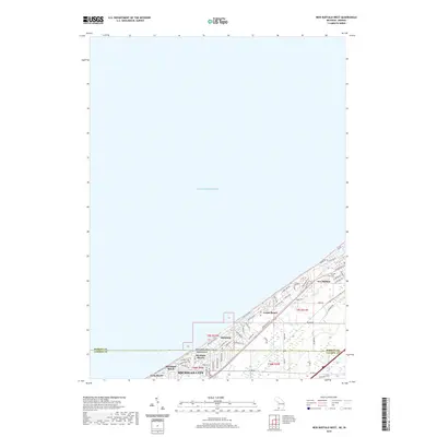
 2014 New Buffalo West2014 Print · USGSCovers Long Beach, including Michigan City, New Buffalo, and other nearby areas
 - 2016 Map of Michigan City East, 2016 Print
 2016 Michigan City East2016 Print · USGSCovers Long Beach, including Michigan City, La Porte, and other nearby areas
 - 2016 Map of Michigan City West, 2016 Print
 2016 Michigan City West2016 Print · USGSCovers Long Beach, including Michigan City, Town of Pines, and other nearby areas
 - 2017 Map of New Buffalo West, 2017 Print
 2017 New Buffalo West2017 Print · USGSCovers Long Beach, including Michigan City, New Buffalo, and other nearby areas
 - 2019 Map of Michigan City West, 2019 Print
 2019 Michigan City West2019 Print · USGSCovers Long Beach, including Michigan City, Town of Pines, and other nearby areas
 - 2019 Map of Michigan City East, 2019 Print
 2019 Michigan City East2019 Print · USGSCovers Long Beach, including Michigan City, La Porte, and other nearby areas
 - 2019 Map of New Buffalo West, 2019 Print
 2019 New Buffalo West2019 Print · USGSCovers Long Beach, including Michigan City, New Buffalo, and other nearby areas
 - 2022 Map of Michigan City East, 2022 Print
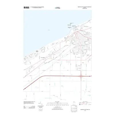
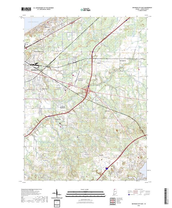 2022 Michigan City East2022 Print · USGSThe Lake Michigan coast meets the rural Indiana interior in the early 2020s, revealing a landscape of suburban growth and persistent agricultural drainage. Genealogists and local historians can locate several burial grounds like Sharp Cem and Lows Cem, or trace the development around Long Beach and Waterford.
 - 2022 Map of Michigan City West, 2022 Print
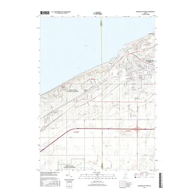
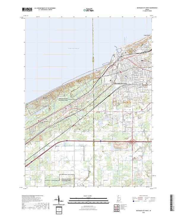 2022 Michigan City West2022 Print · USGSThe Indiana shoreline comes into focus during the early 2020s, showing the intersection of industrial Michigan City and preserved dunes. Genealogists and researchers can locate Greenwood Cem, Saint Stanislaus Cem, and the La Porte County Superior Courthouse.
 - 2023 Map of New Buffalo West, 2023 Print
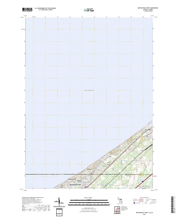 2023 New Buffalo West2023 Print · USGSThe Michigan-Indiana state line meets the coast in this modern survey of the lakeside communities between New Buffalo and Michigan City. Researchers can trace residential development and landmarks like Pine Grove Cem and Grand Beach.
End of results
Showing maps 1-15 of 15
Top cities near Long Beach
- Michigan City historical maps
- La Porte historical maps
- Chesterton historical maps
- Porter historical maps
- Westville historical maps
- Springfield historical maps
See more
Frequently asked questions
- What are the different types of historical maps available for Long Beach?
- What is the oldest map of Long Beach?
- Where can I purchase historical maps of Long Beach for my home or office?
- Where can I download high-res historical maps of Long Beach?
- Are there historical topographic maps available for Long Beach?
- Is there historical aerial imagery available for Long Beach?
- Where are historical maps of Long Beach sourced from?