Old Maps of West Elwood, Indiana for Genealogy
Trace your family roots with 9 historic maps of West Elwood. These high-res maps reveal old neighborhoods, homesites, landmarks, and streets — helping you uncover where your ancestors lived and how the area evolved over time.
- Explore historic neighborhoods: Identify where your relatives may have lived in the 1800s or 1900s.
- Compare maps over time: Trace the changes in streets, buildings, and landmarks for multi-generational research.
- Perfect for genealogy & ancestry research: Used by family historians and researchers to map out lineage and migration.
These maps are an incredible resource for exploring your personal connection to West Elwood's past.
West Elwood, IN maps
(9)- 1953 Map of Muncie, 1966 Print
 1953 Muncie1966 Print · USGSIndiana and Ohio borderlands thrive in the early fifties, showing a landscape defined by manufacturing cities and an intensive railroad network. Genealogists can trace family roots across the Indiana-Ohio line through Muncie, Celina, and Portland via the Pennsylvania railroad.5 unique versions available
 - 1956 Map of Muncie
 1956 Muncie1956 Print · USGSEastern Indiana and western Ohio are shown at a peak of rail-driven industry in the mid-fifties. Genealogists and rail historians can trace the paths of the Pennsylvania RR through Muncie or locate landmarks like Lake Saint Marys (Grand Lake Reservoir) and Frances Slocum State Forest.
 - 1960 Map of Elwood, 1961 Print
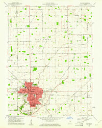 1960 Elwood1961 Print · USGSElwood and the Madison County borderlands are shown here in the early sixties as a thriving rail and agricultural hub. Local researchers can trace family plots at St Josephs Cemetery or locate vanished landmarks like the Drive-In Theater and Townships School.2 unique versions available
 - 1986 Map of Muncie
 1986 Muncie1986 Print · USGSEast Central Indiana was a hub of manufacturing and higher education in the mid-eighties. Genealogists and historians can trace the streets of Muncie, locate rural Cem sites, and explore landmarks like Mounds State Park and Taylor Univ.3 unique versions available
 - 2010 Map of Elwood, 2010 Print
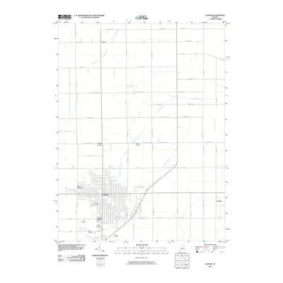 2010 Elwood2010 Print · USGSCovers West Elwood, including Elwood, College Corner, and other nearby areas
 - 2013 Map of Elwood, 2013 Print
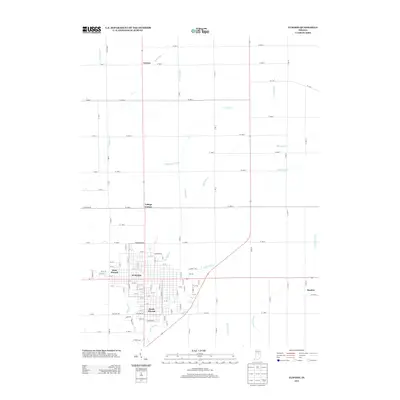 2013 Elwood2013 Print · USGSCovers West Elwood, including Elwood, College Corner, and other nearby areas
 - 2016 Map of Elwood, 2016 Print
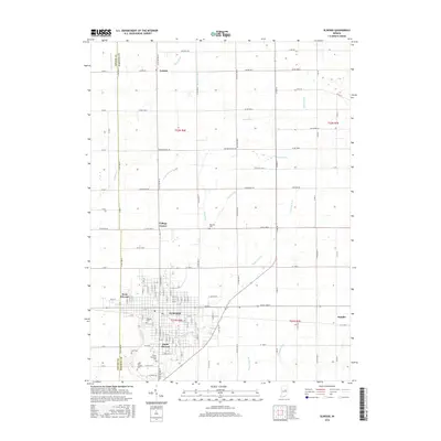 2016 Elwood2016 Print · USGSCovers West Elwood, including Elwood, College Corner, and other nearby areas
 - 2019 Map of Elwood, 2019 Print
 2019 Elwood2019 Print · USGSCovers West Elwood, including Elwood, College Corner, and other nearby areas
 - 2022 Map of Elwood, 2022 Print
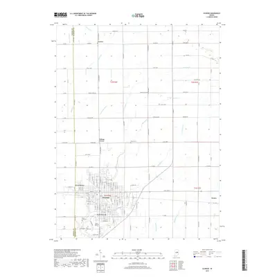
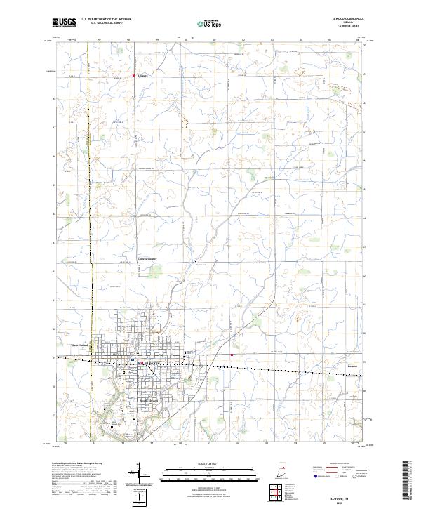 2022 Elwood2022 Print · USGSElwood and its neighboring settlements are documented in this recent survey of the Madison and Tipton County border. Genealogists and researchers can trace local landmarks like Waymire Cem, Duck Creek Cem, and the rural community of Leisure.
End of results
Showing maps 1-9 of 9
Top cities near West Elwood
- Noblesville historical maps
- Anderson historical maps
- Kokomo historical maps
- Marion historical maps
- Elwood historical maps
- Alexandria historical maps
See more
Frequently asked questions
- What are the different types of historical maps available for West Elwood?
- What is the oldest map of West Elwood?
- Where can I purchase historical maps of West Elwood for my home or office?
- Where can I download high-res historical maps of West Elwood?
- Are there historical topographic maps available for West Elwood?
- Is there historical aerial imagery available for West Elwood?
- Where are historical maps of West Elwood sourced from?