Old Maps of Bramble, Indiana for Academic Research
Study the evolution of Bramble with 12 high-resolution historic maps. Whether you're teaching, researching, or modeling changes in land use, these maps provide essential visual documentation of urban, environmental, and geographic change.
- Analyze long-term change: Track patterns in development, transportation, and natural features.
- Ideal for environmental or urban studies: Support academic projects with primary historical map data.
- Use in the classroom or lab: Educators and researchers rely on these maps to bring historical context to life.
These maps are a powerful tool for teaching, research, and visualizing how Bramble has changed over the decades.
Bramble, IN maps
(12)- 1950 Map of Odon, 1953 Print
 1950 Odon1953 Print · USGSDaviess and Martin counties are captured here in the early fifties, showing a region of quiet agricultural towns and developing industry. Researchers can find many family landmarks, including Walnut Hill Cem, Union Chapel, and the settlement of Raglesville.2 unique versions available
 - 1956 Map of Vincennes, 1967 Print
 1956 Vincennes1967 Print · USGSSouthern Indiana and the Illinois borderlands are captured here in the mid-fifties, showing the region's dense network of river towns and rail lines. Researchers can trace historic river crossings along the Wabash River or locate landmarks like Wyandotte Cave and Lincoln State Park.4 unique versions available
 - 1957 Map of Vincennes
 1957 Vincennes1957 Print · USGSSouthwest Indiana and the Illinois borderlands come alive in the late 1950s, a period of heavy rail traffic and expanding state forests. Genealogists and historians can trace the riverfronts and rail lines of Vincennes, New Harmony, and the vast Crane Naval Ammunition Depot.
 - 1958 Map of Vincennes
 1958 Vincennes1958 Print · USGSSouthern Indiana and the Illinois borderlands are captured during a mid-century period of heavy rail traffic and military activity. Researchers can trace the sprawling bounds of the Crane Naval Ammunition Depot or locate historic settlements like New Harmony and French Lick.2 unique versions available
 - 1974 Map of Odon, 1976 Print
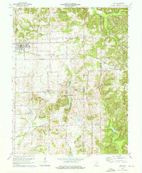 1974 Odon1976 Print · USGSDaviess and Martin counties are captured here in the mid-seventies, showing a rural landscape defined by small farming hamlets and the Chicago Milwaukee St Paul and Pacific line. Researchers can trace family roots through several country sites like Walnut Hill Cem, Shiloh Ch, and the settlement of Raglesville.2 unique versions available
 - 1986 Map of Bedford
 1986 Bedford1986 Print · USGSSouthern Indiana in the mid-eighties remains a landscape of deep forests, limestone quarries, and vital rail junctions. Genealogists and historians can trace the rural networks connecting French Lick, the Crane Naval Weapons Support Center, and the historic Becks Mill.
 - 1990 Map of Bedford, 1991 Print
 1990 Bedford1991 Print · USGSSouthern Indiana in the early nineties reveals a complex landscape of military reservations, resort towns, and heavy industry. Genealogists and historians can trace family sites like Old Union Cem and Trinity Springs or locate the limestone quarries surrounding Oolitic.
 - 2010 Map of Odon, 2010 Print
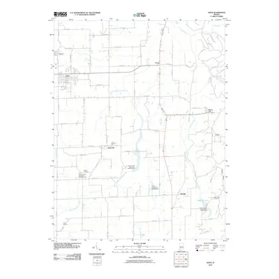 2010 Odon2010 Print · USGSDaviess County farmland and crossroads communities are mapped here in the early 21st century. Researchers can trace family sites at Walnut Hill Cemetery and Liberty Cemetery, or explore the rural layout of Raglesville, Bramble, and Odon.
 - 2013 Map of Odon, 2013 Print
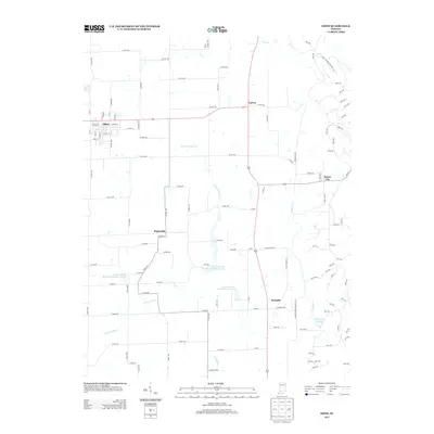 2013 Odon2013 Print · USGSDaviess County at the start of the 2010s reveals a landscape of organized rural townships and water management projects. Researchers can trace the layout of small communities like Burns City and Raglesville or locate landmarks such as Seed Tick Lake and W Boggs Park.
 - 2016 Map of Odon, 2016 Print
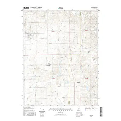 2016 Odon2016 Print · USGSThe rural landscape of Daviess and Martin counties is captured here in the mid-2010s, showing a region defined by agricultural traditions and creek-side settlements. Genealogists and local historians can locate several family and community landmarks, from Walnut Hill Cem in Odon to the quiet crossroads of Bramble and Raglesville.
 - 2019 Map of Odon, 2019 Print
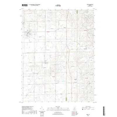 2019 Odon2019 Print · USGSDaviess and Martin Counties are shown here during the late 2010s, capturing a landscape of established farmsteads and rural crossroads. Researchers can locate numerous local burial grounds including Liberty Cem and Williams Cem, or trace old routes like Buffalo Trl.
 - 2022 Map of Odon, 2022 Print
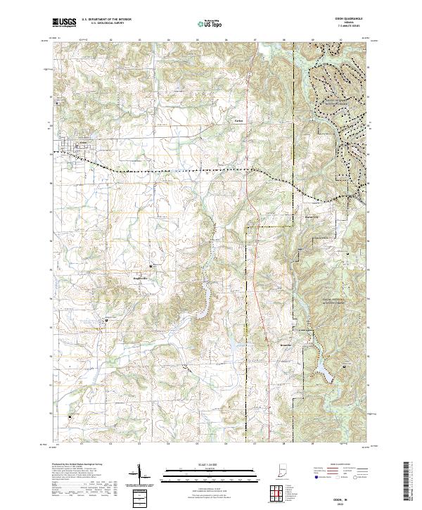 2022 Odon2022 Print · USGSDaviess and Martin Counties are shown in the early 2020s, documenting a landscape defined by traditional farming and rural hamlets. Genealogists and local historians can trace family roots through sites like Raglesville Cem, Kilgore Cem, and the small settlement of Bramble.
End of results
Showing maps 1-12 of 12
Top cities near Bramble
- Washington historical maps
- Loogootee historical maps
- Odon historical maps
- Shoals historical maps
- Lyons historical maps
- Elnora historical maps
See more
Frequently asked questions
- What are the different types of historical maps available for Bramble?
- What is the oldest map of Bramble?
- Where can I purchase historical maps of Bramble for my home or office?
- Where can I download high-res historical maps of Bramble?
- Are there historical topographic maps available for Bramble?
- Is there historical aerial imagery available for Bramble?
- Where are historical maps of Bramble sourced from?