Old Maps of Willow Valley, Indiana for Hiking & Exploration
Hike through history with 14 historic maps of Willow Valley. Explore old trails, ghost towns, and forgotten backroads — perfect for outdoor adventurers and local explorers.
- Rediscover forgotten places: Map out old mining camps, roads, and footpaths that no longer exist on modern maps.
- Layer with modern tools: Combine with LiDAR or satellite views to plan hikes through historical terrain.
- Made for exploration: Popular among hikers, overlanders, and local history lovers.
Use these maps to find adventure and explore the hidden past of Willow Valley.
Willow Valley, IN maps
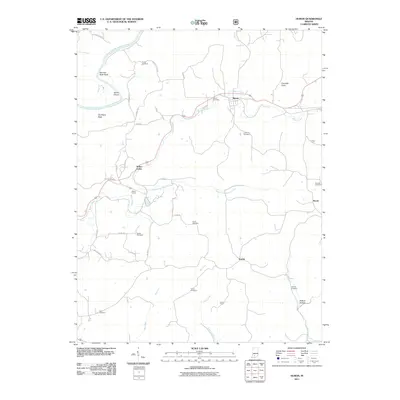
(14)- 1948 Map of Huron, 1960 Print
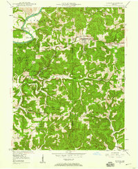 1948 Huron1960 Print · USGSMartin County in the late 1940s is characterized by its deep forest tracts and the busy rail line through the village of Huron. Researchers can trace early rural life through surviving landmarks like Scarlet Chapel, Wiesbach Sch, and the Baltimore and Ohio railroad.
 - 1950 Map of Huron
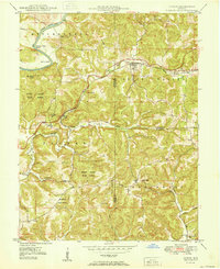 1950 Huron1950 Print · USGSSouthern Indiana's timbered hills and rail corridors are captured here in the mid-twentieth century. Genealogists and hikers can trace the Baltimore and Ohio line past Willow Tunnel or find the remote Acre Cem and Wiesbach Sch.
 - 1956 Map of Vincennes, 1967 Print
 1956 Vincennes1967 Print · USGSSouthern Indiana and the Illinois borderlands are captured here in the mid-fifties, showing the region's dense network of river towns and rail lines. Researchers can trace historic river crossings along the Wabash River or locate landmarks like Wyandotte Cave and Lincoln State Park.4 unique versions available
 - 1957 Map of Vincennes
 1957 Vincennes1957 Print · USGSSouthwest Indiana and the Illinois borderlands come alive in the late 1950s, a period of heavy rail traffic and expanding state forests. Genealogists and historians can trace the riverfronts and rail lines of Vincennes, New Harmony, and the vast Crane Naval Ammunition Depot.
 - 1958 Map of Vincennes
 1958 Vincennes1958 Print · USGSSouthern Indiana and the Illinois borderlands are captured during a mid-century period of heavy rail traffic and military activity. Researchers can trace the sprawling bounds of the Crane Naval Ammunition Depot or locate historic settlements like New Harmony and French Lick.2 unique versions available
 - 1965 Map of Huron, 1966 Print
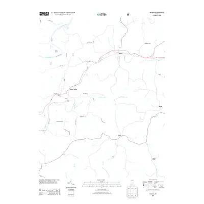
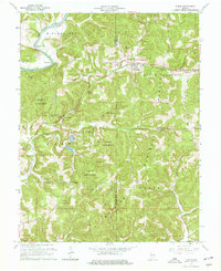 1965 Huron1966 Print · USGSThe hill country of Martin and Lawrence Counties is captured here in the mid-1960s, showing the intersection of heavy rail and deep timberlands. You can trace early family roots through Huron Cem and Baxter Cem or locate the engineering of the Willow Tunnel.3 unique versions available
 - 1986 Map of Bedford
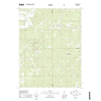
 1986 Bedford1986 Print · USGSSouthern Indiana in the mid-eighties remains a landscape of deep forests, limestone quarries, and vital rail junctions. Genealogists and historians can trace the rural networks connecting French Lick, the Crane Naval Weapons Support Center, and the historic Becks Mill.
 - 1990 Map of Bedford, 1991 Print
 1990 Bedford1991 Print · USGSSouthern Indiana in the early nineties reveals a complex landscape of military reservations, resort towns, and heavy industry. Genealogists and historians can trace family sites like Old Union Cem and Trinity Springs or locate the limestone quarries surrounding Oolitic.
 - 1993 Map of Huron, 1998 Print
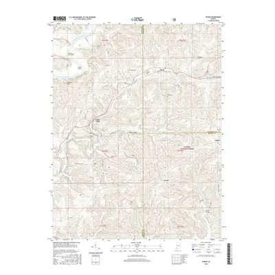
 1993 Huron1998 Print · USGSSouthern Indiana forest lands and river bends are captured here in the 1990s as the rail and road networks navigated the deep hollows of Martin and Lawrence Counties. You can trace the B & O RR through Huron or locate rural landmarks like Weisbach Ch and Willow Valley.4 unique versions available
 - 2011 Map of Huron, 2011 Print
 2011 Huron2011 Print · USGSCovers Willow Valley, including Huron, Bonds, and other nearby areas
 - 2013 Map of Huron, 2013 Print
 2013 Huron2013 Print · USGSCovers Willow Valley, including Huron, Bonds, and other nearby areas
 - 2016 Map of Huron, 2016 Print
 2016 Huron2016 Print · USGSCovers Willow Valley, including Huron, Bonds, and other nearby areas
 - 2019 Map of Huron, 2019 Print
 2019 Huron2019 Print · USGSCovers Willow Valley, including Huron, Bonds, and other nearby areas
 - 2022 Map of Huron, 2022 Print
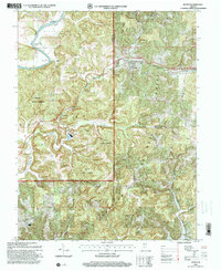
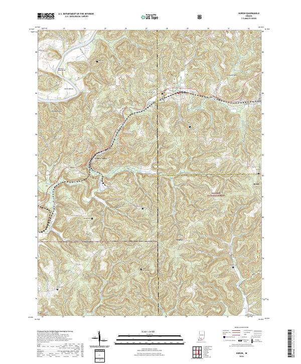 2022 Huron2022 Print · USGSSouthern Indiana ridge country comes into focus in the early 2020s, showing the intersection of public lands and long-settled farmsteads. Family historians can locate numerous burial grounds such as Union Chapel Cem, Elliott Cem, and the secluded Acre Cem.
End of results
Showing maps 1-14 of 14
Top cities near Willow Valley
- Bedford historical maps
- Mitchell historical maps
- Paoli historical maps
- Loogootee historical maps
- French Lick historical maps
- Oolitic historical maps
See more
Frequently asked questions
- What are the different types of historical maps available for Willow Valley?
- What is the oldest map of Willow Valley?
- Where can I purchase historical maps of Willow Valley for my home or office?
- Where can I download high-res historical maps of Willow Valley?
- Are there historical topographic maps available for Willow Valley?
- Is there historical aerial imagery available for Willow Valley?
- Where are historical maps of Willow Valley sourced from?