Old Maps of Woodview Hills, Indiana
Explore 15 old maps of Woodview Hills, spanning from 1942 to today. These high-resolution historic maps reveal how streets, neighborhoods, landmarks, and natural features evolved over time — perfect for genealogy, metal detecting, research, and local history exploration.
What you can do with these maps:
- See how Woodview Hills changed over time: Compare historical maps to modern-day views to trace roads, homesites, rail lines & more.
- View detailed metadata: Each map includes creators, publishers, year, scale, and archive source.
- Overlay maps with satellite & LiDAR: Visualize the past alongside modern tools to explore terrain & human change.
- Trusted historical sources: Maps sourced from the USGS, Library of Congress, and other archives.
- Access maps your way: View online, download high-res files, or order prints for personal or research use.
Start exploring old maps of Woodview Hills to uncover forgotten places, hidden landmarks, and the deep history beneath your feet.
Woodview Hills, IN maps
(15)- 1942 Map of Franklin
 1942 Franklin1942 Print · USGSCentral Indiana during the early years of the war shows a landscape of established rail towns and growing military installations. Genealogists can trace family names across small settlements like Nineveh, Bean Blossom, and Helmsburg, or locate the Indiana University Observatory.
 - 1947 Map of Unionville
 1947 Unionville1947 Print · USGSMonroe County was a landscape of high ridges and rural valley settlements during the late 1940s. Genealogists and local historians can trace family locations near the Illinois Central rail line and sites like Radientown, Fleener Sch, and Friendship Ch.2 unique versions available
 - 1953 Map of Indianapolis, 1965 Print
 1953 Indianapolis1965 Print · USGSCentral Indiana and the Illinois borderlands are captured in the mid-sixties, showing the growth of Indianapolis and its industrial rail corridors. Genealogists and historians can trace the development of outlying towns like Zionsville or Beech Grove and find landmarks such as Atterbury AAF and Turkey Run State Park.4 unique versions available
 - 1956 Map of Indianapolis
 1956 Indianapolis1956 Print · USGSCentral Indiana in the mid-fifties is captured during a period of industrial growth and military presence. Genealogists and historians can trace the rail networks of the New York Central or locate regional landmarks like Fort Benjamin Harrison and Camp Atterbury.
 - 1957 Map of Indianapolis
 1957 Indianapolis1957 Print · USGSCentral Indiana in the mid-fifties is captured here as a crossroads of major rail lines and nascent federal highways. Genealogists and historians can trace family-named ridges like Poplar Ridge or locate strategic sites like Camp Atterbury and Speedway.2 unique versions available
 - 1957 Map of Unionville, 1959 Print
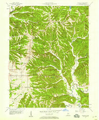 1957 Unionville1959 Print · USGSMonroe County's rugged ridge country in the late fifties shows a landscape balancing timber conservation with active natural gas extraction. Researchers can locate the Illinois Central corridor and rural communities like Radientown, Unionville, and Dolan.
 - 1962 Map of Indianapolis
 1962 Indianapolis1962 Print · USGSCentral Indiana and the Illinois borderlands are captured here in the early sixties, showing the region's dense rail networks and growing urban centers. Genealogists and historians can locate family-named landmarks and institutions like Crown Hill Cem, Indiana University, and the Indianapolis Motor Speedway.
 - 1966 Map of Unionville, 1968 Print
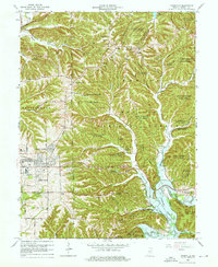 1966 Unionville1968 Print · USGSMonroe County enters a period of suburban growth and reforestation in the mid-sixties as the university town of Bloomington expands eastward. Researchers can trace rural cemeteries and community centers like Little Union Cem, Unionville, and the College Mall Shopping Center.5 unique versions available
 - 1986 Map of Bloomington
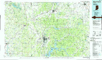 1986 Bloomington1986 Print · USGSMid-century development and vast conservation areas define south-central Indiana during the eighties. Genealogists and historians can trace family roots through numerous landmarks like Beanblossom Cem, New Unionville Church, and the historic corridors of the Indiana RR.3 unique versions available
 - 1998 Map of Unionville, 2003 Print
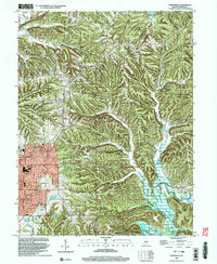 1998 Unionville2003 Print · USGSMonroe County east of Bloomington is shown here in the late twentieth century as suburban growth met the deep hollows of the Morgan-Monroe State Forest. Genealogists can trace family landmarks like Knight Ridge Cemetery and the historic Mount Gilead Church near the Indiana Railroad.
 - 2010 Map of Unionville, 2010 Print
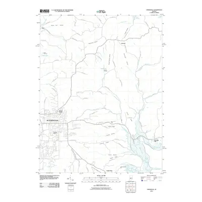 2010 Unionville2010 Print · USGSBloomington and its eastern rural fringes appear in 2010 as suburban growth meets the ridges of the Salt Creek watershed. Genealogists and researchers can trace family landmarks like Knight Ridge, Dolan, and the distinctive Devils Backbone formation.
 - 2013 Map of Unionville, 2013 Print
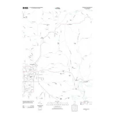 2013 Unionville2013 Print · USGSNortheastern Monroe County in the early twenty-first century shows a landscape transitioning from the suburban edges of Bloomington to the hills above Lake Lemon. Researchers can trace local landmarks like Devils Backbone, the Buzzard Roost Recreation Area, and family-named hollows.
 - 2016 Map of Unionville, 2016 Print
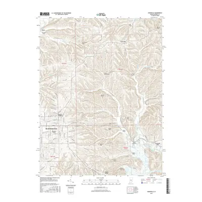 2016 Unionville2016 Print · USGSThe eastern edges of Bloomington and the village of Unionville are shown here as they appeared in 2016. Genealogists and local historians can trace residential growth from Hoosier Acres to the rural ridges of Devils Backbone and Penitentiary Hollow.
 - 2019 Map of Unionville, 2019 Print
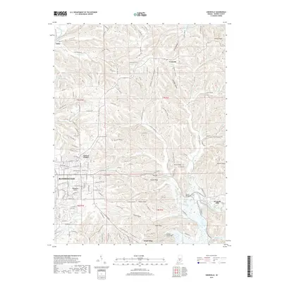 2019 Unionville2019 Print · USGSMonroe County transitions from the eastern edge of Bloomington into a landscape of deep hollows and high ridges during the late 2010s. Researchers can trace local landmarks like Devils Backbone or explore the residential reaches of Knight Ridge and Unionville.
 - 2022 Map of Unionville, 2022 Print
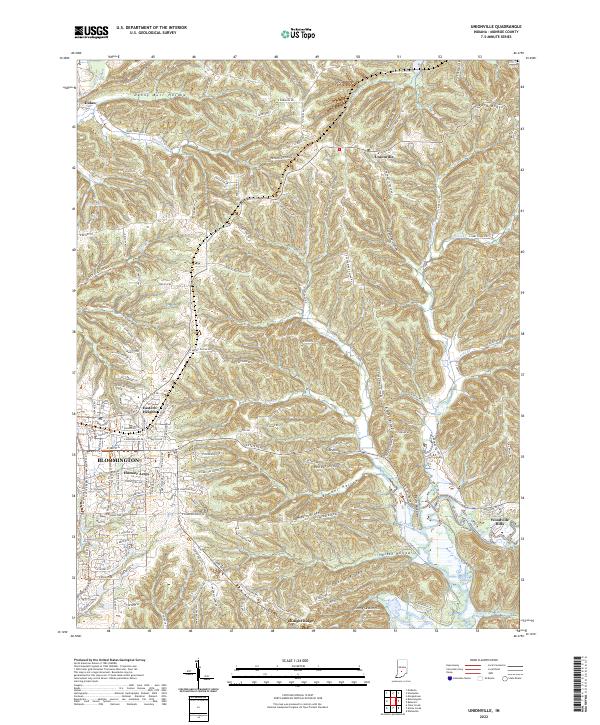 2022 Unionville2022 Print · USGSMonroe County, Indiana, at the start of the 2020s shows the suburban edges of university life transitioning into the ridges of the Hoosier State. Researchers can trace local landmarks like Devils Backbone, the community of Unionville, and the waters of Lake Lemon.
End of results
Showing maps 1-15 of 15
Top cities near Woodview Hills
- Bloomington historical maps
- Ellettsville historical maps
- Clear Creek historical maps
- Guthrie historical maps
- Morgantown historical maps
- Nashville historical maps
Frequently asked questions
- What are the different types of historical maps available for Woodview Hills?
- What is the oldest map of Woodview Hills?
- Where can I purchase historical maps of Woodview Hills for my home or office?
- Where can I download high-res historical maps of Woodview Hills?
- Are there historical topographic maps available for Woodview Hills?
- Is there historical aerial imagery available for Woodview Hills?
- Where are historical maps of Woodview Hills sourced from?