Old Maps of Blue, Indiana
Explore 10 old maps of Blue, spanning from 1956 to today. These high-resolution historic maps reveal how streets, neighborhoods, landmarks, and natural features evolved over time — perfect for genealogy, metal detecting, research, and local history exploration.
What you can do with these maps:
- See how Blue changed over time: Compare historical maps to modern-day views to trace roads, homesites, rail lines & more.
- View detailed metadata: Each map includes creators, publishers, year, scale, and archive source.
- Overlay maps with satellite & LiDAR: Visualize the past alongside modern tools to explore terrain & human change.
- Trusted historical sources: Maps sourced from the USGS, Library of Congress, and other archives.
- Access maps your way: View online, download high-res files, or order prints for personal or research use.
Start exploring old maps of Blue to uncover forgotten places, hidden landmarks, and the deep history beneath your feet.
Blue, IN maps
(10)- 1956 Map of Louisville, 1971 Print
 1956 Louisville1971 Print · USGSThe Ohio River valley and the Kentucky Bluegrass are captured here during a period of rapid mid-century growth and industrial activity. Genealogists and historians can trace rail-centered towns and military land use at Fort Knox and the Jefferson Proving Ground.2 unique versions available
 - 1959 Map of Bear Branch, 1960 Print
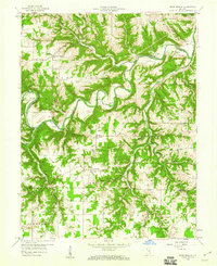 1959 Bear Branch1960 Print · USGSSoutheastern Indiana's rural townships are captured in the late fifties as a network of creek-side settlements and ridge-top farms. Genealogists and historians can trace dozens of family landmarks like Mt Hebron Cem, the Freedom Sch, and the winding path of Laughery Creek.3 unique versions available
 - 1964 Map of Louisville
 1964 Louisville1964 Print · USGSThe Ohio River valley and Kentucky Bluegrass are captured in the mid-1960s, showing a region balanced between industrial growth and its agrarian roots. Genealogists and historians can trace the development of county seats like Shelbyville and Paris, or locate established institutions such as Georgetown College and Bernheim Forest.
 - 1986 Map of Madison
 1986 Madison1986 Print · USGSSouthern Indiana and Northern Kentucky are shown here in the mid-eighties, centered on the river corridor and the sprawling Jefferson Proving Ground. Genealogists and historians can trace rail lines like the Seaboard System and locate river towns from Madison to Bethlehem.
 - 1990 Map of Madison, 1991 Print
 1990 Madison1991 Print · USGSThe Ohio River valley and the southern Indiana plains are documented here in the final decade of the twentieth century. Genealogists and historians can trace family-named crossroads and established rail towns like Dudleytown, Austin, and Crothersville along the P C RR line.
 - 2010 Map of Bear Branch, 2010 Print
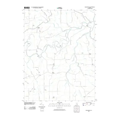 2010 Bear Branch2010 Print · USGSSoutheastern Indiana's agricultural plateaus and deep hollows are captured here as they appeared in the early 21st century. Genealogists can trace family roots through numerous local burial sites, including Saint Johns Cemetery, Conaway Cemetery, and the Bear Creek Cemeteries.
 - 2013 Map of Bear Branch, 2013 Print
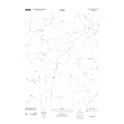 2013 Bear Branch2013 Print · USGSSoutheastern Indiana's agricultural heartland is documented here during the early twenty-first century, showing the enduring rural character of Dearborn County. Researchers can pinpoint homesteads near Farmers Retreat, Mexico Ridge, and the crossing at Lost Bridge.
 - 2016 Map of Bear Branch, 2016 Print
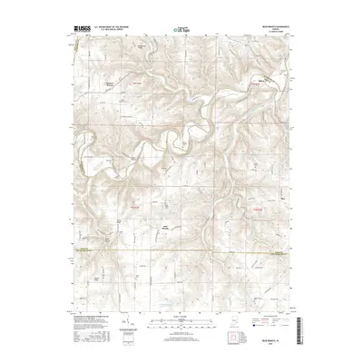 2016 Bear Branch2016 Print · USGSSoutheastern Indiana's ridge-and-hollow landscape is captured here in the mid-2010s, centered on the rural crossroads of Farmers Retreat and Bear Branch. Researchers can locate numerous historical burial sites like Bear Creek Cemeteries and Union Cem along the winding banks of Laughery Creek.
 - 2019 Map of Bear Branch, 2019 Print
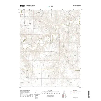 2019 Bear Branch2019 Print · USGSThe rural uplands of Dearborn, Ohio, and Switzerland counties are shown here in recent detail, dominated by the winding path of Laughery Creek. Researchers can locate numerous family burial sites and remote landmarks like Lost Bridge, Saint Johns Lutheran Cem, and Farmers Retreat.
 - 2022 Map of Bear Branch, 2022 Print
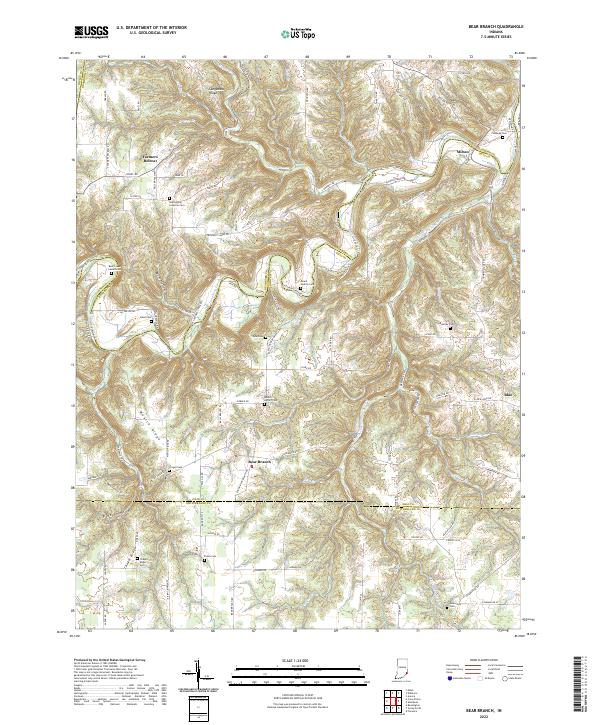 2022 Bear Branch2022 Print · USGSSoutheast Indiana's rural landscape at the start of the 2020s shows a resilient pattern of ridge-top settlements and creek-side hollows. Genealogists and local historians can trace legacy sites like Saint Johns Lutheran Cem, Milton, and the aptly named Farmers Retreat.
End of results
Showing maps 1-10 of 10
Top cities near Blue
- Lawrenceburg historical maps
- Greendale historical maps
- Aurora historical maps
- Sparta historical maps
- Rising Sun historical maps
- Milan historical maps
See more
Frequently asked questions
- What are the different types of historical maps available for Blue?
- What is the oldest map of Blue?
- Where can I purchase historical maps of Blue for my home or office?
- Where can I download high-res historical maps of Blue?
- Are there historical topographic maps available for Blue?
- Is there historical aerial imagery available for Blue?
- Where are historical maps of Blue sourced from?