Old Maps of Camp Shor, Indiana for Academic Research
Study the evolution of Camp Shor with 12 high-resolution historic maps. Whether you're teaching, researching, or modeling changes in land use, these maps provide essential visual documentation of urban, environmental, and geographic change.
- Analyze long-term change: Track patterns in development, transportation, and natural features.
- Ideal for environmental or urban studies: Support academic projects with primary historical map data.
- Use in the classroom or lab: Educators and researchers rely on these maps to bring historical context to life.
These maps are a powerful tool for teaching, research, and visualizing how Camp Shor has changed over the decades.
Camp Shor, IN maps
(12)- 1943 Map of Rising Sun
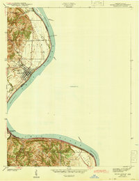 1943 Rising Sun1943 Print · USGSThe Ohio River valley in the early 1940s was a landscape defined by riverside settlements and the steady work of river navigation. Genealogists can trace family histories through local landmarks like German Cem, North Landing, and the Laughery Club.
 - 1951 Map of Rising Sun, 1953 Print
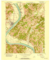 1951 Rising Sun1953 Print · USGSThe Ohio River valley at the start of the 1950s reveals a landscape of fertile bottomlands and established river towns. Researchers can trace the heritage of Rising Sun and Rabbit Hash while locating family sites like East Bend Ch and the Stephens Cem.
 - 1956 Map of Louisville, 1971 Print
 1956 Louisville1971 Print · USGSThe Ohio River valley and the Kentucky Bluegrass are captured here during a period of rapid mid-century growth and industrial activity. Genealogists and historians can trace rail-centered towns and military land use at Fort Knox and the Jefferson Proving Ground.2 unique versions available
 - 1961 Map of Rising Sun, 1963 Print
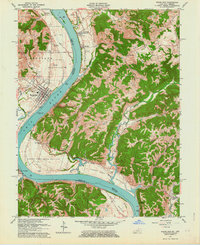 1961 Rising Sun1963 Print · USGSThe Ohio River valley at the start of the 1960s shows a landscape of fertile bottomlands and storied river landings. Genealogists can trace family names at Rabbit Hash, Cedar Hedge Cem, and the historic Big Bone Lick State Park.2 unique versions available
 - 1964 Map of Louisville
 1964 Louisville1964 Print · USGSThe Ohio River valley and Kentucky Bluegrass are captured in the mid-1960s, showing a region balanced between industrial growth and its agrarian roots. Genealogists and historians can trace the development of county seats like Shelbyville and Paris, or locate established institutions such as Georgetown College and Bernheim Forest.
 - 1981 Map of Rising Sun, 1982 Print
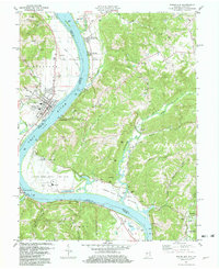 1981 Rising Sun1982 Print · USGSThe Ohio River valley between Indiana and Kentucky comes to life in this early 1980s record of rural river life and industry. Genealogists can trace deep local roots at Rabbit Hash and Rising Sun, or locate family sites like Stephens Cem and Rice Cem.3 unique versions available
 - 1986 Map of Falmouth
 1986 Falmouth1986 Print · USGSNorthern Kentucky and the Ohio River valley are shown here in the mid-1980s, highlighting the region's complex river-and-rail geography. Genealogists and researchers can trace the roads connecting Big Bone Lick, Zion Church, and river towns like Falmouth and Augusta.2 unique versions available
 - 2010 Map of Rising Sun, 2010 Print
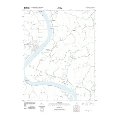 2010 Rising Sun2010 Print · USGSCovers Camp Shor, including Rising Sun, McVille, and other nearby areas
 - 2013 Map of Rising Sun, 2013 Print
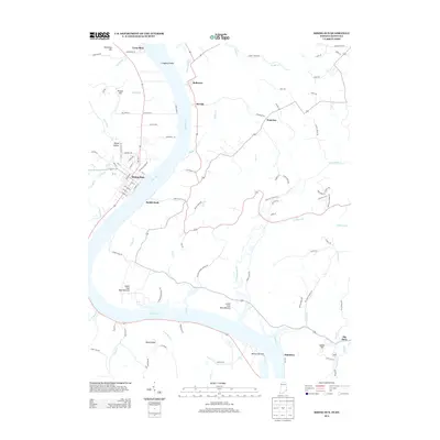 2013 Rising Sun2013 Print · USGSCovers Camp Shor, including Rising Sun, McVille, and other nearby areas
 - 2016 Map of Rising Sun, 2016 Print
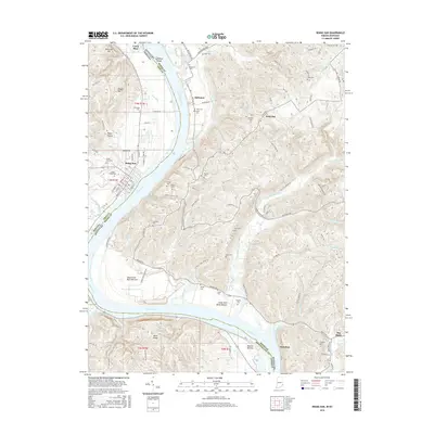 2016 Rising Sun2016 Print · USGSCovers Camp Shor, including Rising Sun, McVille, and other nearby areas
 - 2019 Map of Rising Sun, 2019 Print
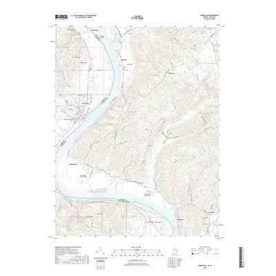 2019 Rising Sun2019 Print · USGSCovers Camp Shor, including Rising Sun, McVille, and other nearby areas
 - 2022 Map of Rising Sun, 2022 Print
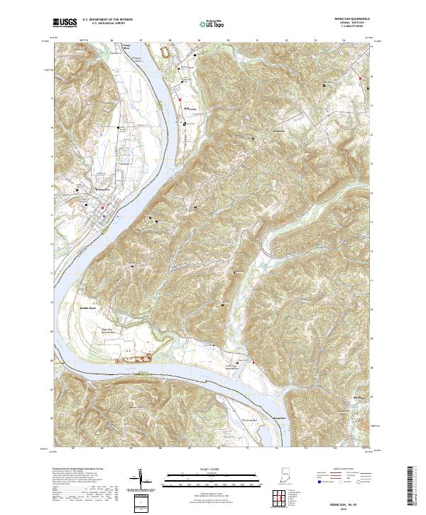 2022 Rising Sun2022 Print · USGSSpanning the Ohio River at the Indiana-Kentucky border, this recent survey captures the modern landscape of Rising Sun and its surrounding river bottoms. Genealogists can locate numerous historic burial sites including Fulton Burying Ground, Old Belleview Cem, and the community of Rabbit Hash.
End of results
Showing maps 1-12 of 12
Top cities near Camp Shor
- Cincinnati historical maps
- Florence historical maps
- Burlington historical maps
- Cheviot historical maps
- Union historical maps
- Lawrenceburg historical maps
See more
Frequently asked questions
- What are the different types of historical maps available for Camp Shor?
- What is the oldest map of Camp Shor?
- Where can I purchase historical maps of Camp Shor for my home or office?
- Where can I download high-res historical maps of Camp Shor?
- Are there historical topographic maps available for Camp Shor?
- Is there historical aerial imagery available for Camp Shor?
- Where are historical maps of Camp Shor sourced from?