Old Maps of Woodlawn Grove, Indiana for Genealogy
Trace your family roots with 13 historic maps of Woodlawn Grove. These high-res maps reveal old neighborhoods, homesites, landmarks, and streets — helping you uncover where your ancestors lived and how the area evolved over time.
- Explore historic neighborhoods: Identify where your relatives may have lived in the 1800s or 1900s.
- Compare maps over time: Trace the changes in streets, buildings, and landmarks for multi-generational research.
- Perfect for genealogy & ancestry research: Used by family historians and researchers to map out lineage and migration.
These maps are an incredible resource for exploring your personal connection to Woodlawn Grove's past.
Woodlawn Grove, IN maps
(13)- 1956 Map of Vincennes, 1967 Print
 1956 Vincennes1967 Print · USGSSouthern Indiana and the Illinois borderlands are captured here in the mid-fifties, showing the region's dense network of river towns and rail lines. Researchers can trace historic river crossings along the Wabash River or locate landmarks like Wyandotte Cave and Lincoln State Park.4 unique versions available
 - 1957 Map of Vincennes
 1957 Vincennes1957 Print · USGSSouthwest Indiana and the Illinois borderlands come alive in the late 1950s, a period of heavy rail traffic and expanding state forests. Genealogists and historians can trace the riverfronts and rail lines of Vincennes, New Harmony, and the vast Crane Naval Ammunition Depot.
 - 1957 Map of Paoli, 1958 Print
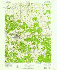 1957 Paoli1958 Print · USGSSouthern Indiana's karst landscape and timberlands are captured here in the mid-fifties, centered on the historic crossroads of Paoli. Trace the Monon railroad line past Braxtons Siding or locate vanished local landmarks like the Drive-in Theater and Throop Memorial Sch.
 - 1958 Map of Vincennes
 1958 Vincennes1958 Print · USGSSouthern Indiana and the Illinois borderlands are captured during a mid-century period of heavy rail traffic and military activity. Researchers can trace the sprawling bounds of the Crane Naval Ammunition Depot or locate historic settlements like New Harmony and French Lick.2 unique versions available
 - 1970 Map of Paoli, 1972 Print
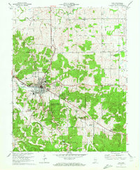 1970 Paoli1972 Print · USGSIndiana's hilly southern interior is captured here in the early seventies, centered on the historic crossroads of Paoli. Local researchers can trace old property lines against the Old Indian Treaty Boundary or locate rural landmarks like Braxtons Siding, Stouts Chapel, and Syria.3 unique versions available
 - 1986 Map of Bedford
 1986 Bedford1986 Print · USGSSouthern Indiana in the mid-eighties remains a landscape of deep forests, limestone quarries, and vital rail junctions. Genealogists and historians can trace the rural networks connecting French Lick, the Crane Naval Weapons Support Center, and the historic Becks Mill.
 - 1990 Map of Bedford, 1991 Print
 1990 Bedford1991 Print · USGSSouthern Indiana in the early nineties reveals a complex landscape of military reservations, resort towns, and heavy industry. Genealogists and historians can trace family sites like Old Union Cem and Trinity Springs or locate the limestone quarries surrounding Oolitic.
 - 1993 Map of Paoli, 1996 Print
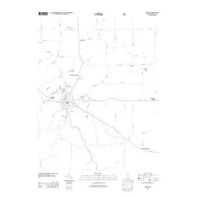
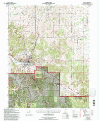 1993 Paoli1996 Print · USGSIndiana’s Orange County uplands are captured here in the early nineties, centered on the seat of Paoli. Genealogists and local historians can trace the paths to Woodland Grove, locate family sites like the Irvine Cem, or explore the Stampers Creek Sinks.
 - 2010 Map of Paoli, 2010 Print
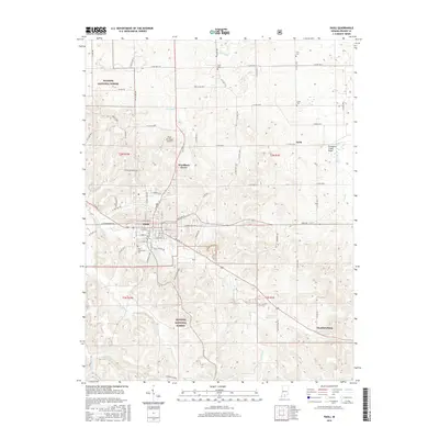
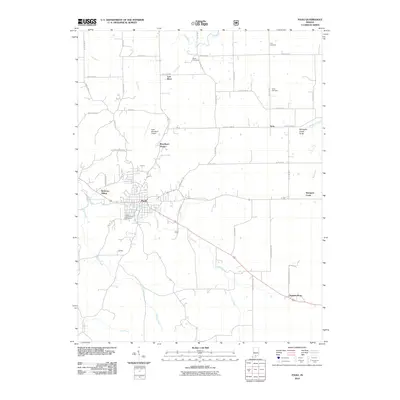 2010 Paoli2010 Print · USGSCovers Woodlawn Grove, including Paoli, Stampers Creek, and other nearby areas
 - 2013 Map of Paoli, 2013 Print
 2013 Paoli2013 Print · USGSCovers Woodlawn Grove, including Paoli, Stampers Creek, and other nearby areas
 - 2016 Map of Paoli, 2016 Print
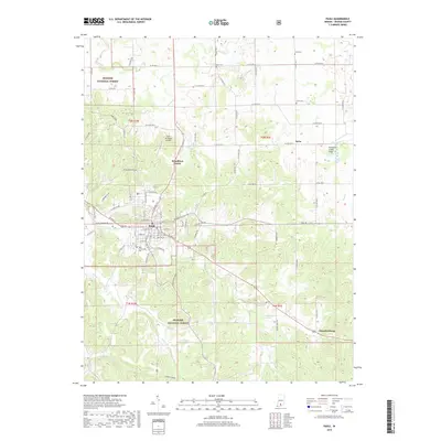
 2016 Paoli2016 Print · USGSCovers Woodlawn Grove, including Paoli, Stampers Creek, and other nearby areas
 - 2019 Map of Paoli, 2019 Print
 2019 Paoli2019 Print · USGSCovers Woodlawn Grove, including Paoli, Stampers Creek, and other nearby areas
 - 2022 Map of Paoli, 2022 Print
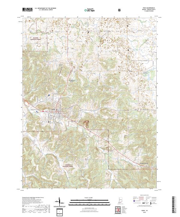 2022 Paoli2022 Print · USGSOrange County's seat and surrounding timberlands are documented here in the early 2020s. Genealogists and local historians can locate several burial grounds like Scott Cem and Lewis Cem, or trace the rural settlements of Syria and Chambersburg.
End of results
Showing maps 1-13 of 13
Top cities near Woodlawn Grove
- Mitchell historical maps
- Paoli historical maps
- Orleans historical maps
- French Lick historical maps
- Stampers Creek historical maps
- Marengo historical maps
See more
Frequently asked questions
- What are the different types of historical maps available for Woodlawn Grove?
- What is the oldest map of Woodlawn Grove?
- Where can I purchase historical maps of Woodlawn Grove for my home or office?
- Where can I download high-res historical maps of Woodlawn Grove?
- Are there historical topographic maps available for Woodlawn Grove?
- Is there historical aerial imagery available for Woodlawn Grove?
- Where are historical maps of Woodlawn Grove sourced from?