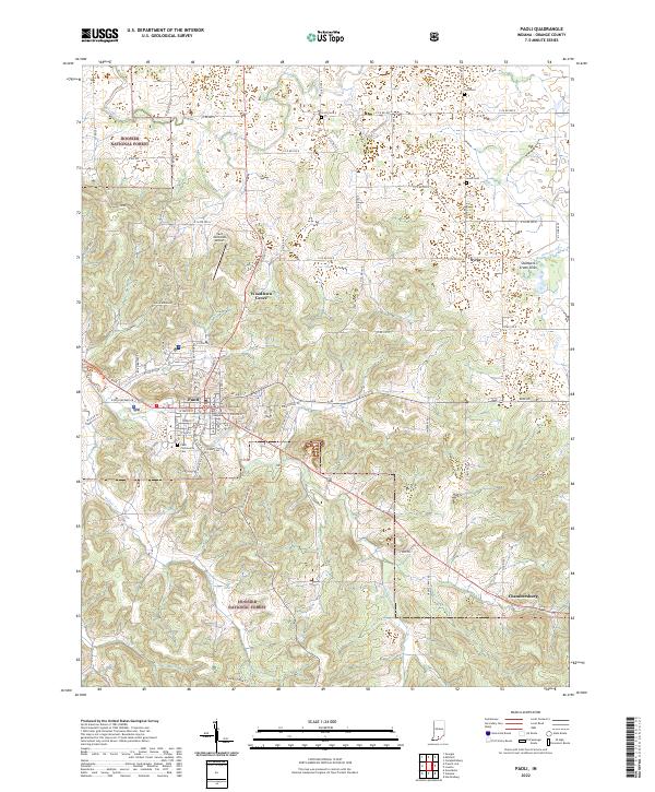
2022 Map of Paoli
USGS Topo · Published 2022About this map
The Orange County Courthouse stands as the central landmark of Paoli, surrounded by a grid of streets including W Main St and E Orange Ave. This seat of Orange County is bordered to the north and south by the wooded expanses of the Hoosier National Forest, reflecting a landscape where established civic centers meet protected timberlands. The town's historical geography is marked by local landmarks like the Paoli Community Cem and the Paoli Municipal Airport located just north of Woodlawn Grove.
Find a feature on this map
52 named features on this map. Tap any name to fly to it.
Don’t see what you’re looking for? This feature index may not catch every label — zoom into the map to look around manually.
Map Details
Editions of this 2022 Paoli Map
This is the sole edition of this map. No revisions or reprints were ever made.
Other maps of this area
1947 · Hardinsburg
USGS Topo · 1:24,000
1949 · Hardinsburg
USGS Topo · 1:24,000
1949 · Georgia
USGS Topo · 1:24,000
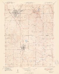
1950 · Mitchell
USGS Topo · 1:24,000
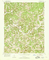
1950 · Valeene
USGS Topo · 1:24,000
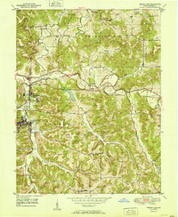
1951 · French Lick
USGS Topo · 1:24,000
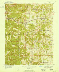
1951 · Georgia
USGS Topo · 1:24,000
1956 · Greenbrier
USGS Topo · 1:24,000

1956 · Vincennes
USGS Topo · 1:250,000
1957 · Vincennes
USGS Topo · 1:250,000