Old Maps of Cannelton, Indiana for Genealogy
Trace your family roots with 23 historic maps of Cannelton. These high-res maps reveal old neighborhoods, homesites, landmarks, and streets — helping you uncover where your ancestors lived and how the area evolved over time.
- Explore historic neighborhoods: Identify where your relatives may have lived in the 1800s or 1900s.
- Compare maps over time: Trace the changes in streets, buildings, and landmarks for multi-generational research.
- Perfect for genealogy & ancestry research: Used by family historians and researchers to map out lineage and migration.
These maps are an incredible resource for exploring your personal connection to Cannelton's past.
Cannelton, IN maps
(23)- 1903 Map of Tell City
 1903 Tell City1903 Print · USGSThe Ohio River valley at the turn of the century is captured here as a vital corridor for both river and rail trade. Researchers can trace the early layouts of Tell City and Hawesville or locate smaller settlements like Knottsville and Waitman.7 unique versions available
 - 1934 Map of Cannelton
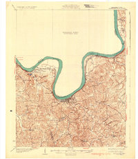 1934 Cannelton1934 Print · USGSThe Ohio River corridor between Indiana and Kentucky comes to life in this mid-1930s survey of the riverfront and its rugged hinterlands. Genealogists can trace family footprints through a dense network of country schools and churches, from St Johns Ch and New Bethel Ch to rural outposts like Mattingly PO.2 unique versions available
 - 1949 Map of Cannelton
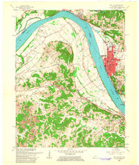
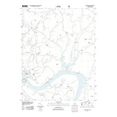
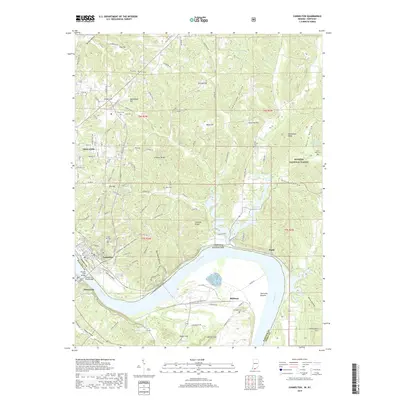
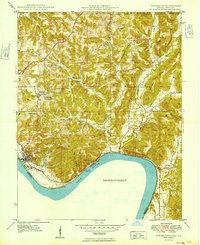 1949 Cannelton1949 Print · USGSCannelton and the Perry County riverfront are shown here shortly after the war, where the Ohio River bank meets a labyrinth of steep hollows and ridges. Genealogists can locate family landmarks like Cliff Cemetery, Millstone School, and the Chestnut Grove Church.
 - 1953 Map of Cannelton, 1954 Print
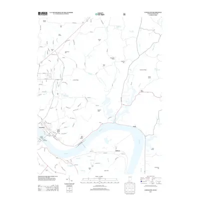
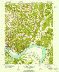 1953 Cannelton1954 Print · USGSThe Indiana and Kentucky border along the Ohio River is captured here just after the war, showing the industrial and rural character of the region. Genealogists can trace family landmarks including St Michael Cem, Greenwood Cem, and the community of Nashville.3 unique versions available
 - 1953 Map of Tell City, 1955 Print
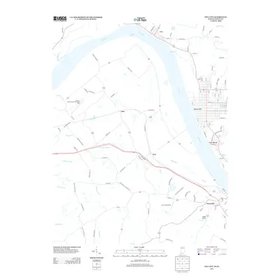
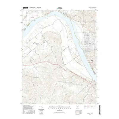
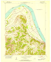 1953 Tell City1955 Print · USGSThe Ohio River shoreline and its industrial valley are captured here in the early 1950s, showing the intersection of rail, river, and coal transport. Family historians can locate several family cemeteries like Henderson Cem and rural landmarks such as New Chapel or the Passenger Ferry.2 unique versions available
 - 1954 Map of Evansville
 1954 Evansville1954 Print · USGSThe Ohio River borderlands between Indiana and Kentucky appear here during a period of robust industrial and military growth. Genealogists and researchers can trace the rail corridors of the Illinois Central and find landmarks like US Lock and Dam No 48 or Camp Breckinridge.
 - 1957 Map of Evansville, 1969 Print
 1957 Evansville1969 Print · USGSIndiana and Kentucky meet along the Ohio River in this mid-century survey of a vital industrial and transport corridor. Genealogists and historians can trace the development of river towns like Owensboro and Newburgh or locate old rail lines like the Southern Ry.3 unique versions available
 - 1961 Map of Evansville
 1961 Evansville1961 Print · USGSThe Ohio River valley and its surrounding coalfields are captured here during the late fifties and early sixties. Trace the industrial rail networks of the Illinois Central RR and explore regional landmarks like Mammoth Cave National Park and Angel Mounds State Memorial.2 unique versions available
 - 1961 Map of Tell City, 1963 Print
 1961 Tell City1963 Print · USGSThe Ohio River corridor comes alive in the early sixties as industrial Tell City and Hawesville face each other across the water. Genealogists can trace family heritage through local burial grounds like Thrasher Cem and St Columba Cem or locate the site of the old Newman Sch.5 unique versions available
 - 1970 Map of Cannelton, 1972 Print
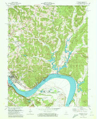 1970 Cannelton1972 Print · USGSThe Ohio River valley at the Indiana-Kentucky border shows its industrial and spiritual heart in the early seventies. Genealogists can locate family sites like Keiser Mill, St Michaels Cem, and Township Sch tucked among the hollows.2 unique versions available
 - 1986 Map of Tell City
 1986 Tell City1986 Print · USGSThe Ohio River valley and the Kentucky interior come alive in this mid-eighties record of industry and recreation. Genealogists and historians can trace small rural settlements like Victoria Crossroads, local landmarks such as St Rose, and the extensive shoreline of Rough River Lake.
 - 1991 Map of Tell City
 1991 Tell City1991 Print · USGSThe Ohio River valley at the start of the nineties reveals a landscape of riverfront industry and sprawling conservation lands. Genealogists can locate family landmarks like Wesley Chapel and rural communities such as Reynolds Station and Maceo.
 - 1993 Map of Cannelton, 1996 Print
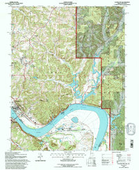 1993 Cannelton1996 Print · USGSThe Ohio River dominates the border between Indiana and Kentucky in the early nineties, where industry and forest land meet. Trace the local landscape through landmarks like Cannelton Locks and Dam, the Drive-in Theater, and Mt Zion Ch.
 - 2010 Map of Tell City, 2010 Print
 2010 Tell City2010 Print · USGSCovers Cannelton, including Tell City, Hawesville, and other nearby areas
 - 2011 Map of Cannelton, 2011 Print
 2011 Cannelton2011 Print · USGSCovers Cannelton, including Tell City, Hawesville, and other nearby areas
 - 2013 Map of Tell City, 2013 Print
 2013 Tell City2013 Print · USGSCovers Cannelton, including Tell City, Hawesville, and other nearby areas
 - 2013 Map of Cannelton, 2013 Print
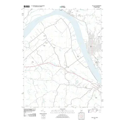
 2013 Cannelton2013 Print · USGSCovers Cannelton, including Tell City, Hawesville, and other nearby areas
 - 2016 Map of Cannelton, 2016 Print
 2016 Cannelton2016 Print · USGSCovers Cannelton, including Tell City, Hawesville, and other nearby areas
 - 2016 Map of Tell City, 2016 Print
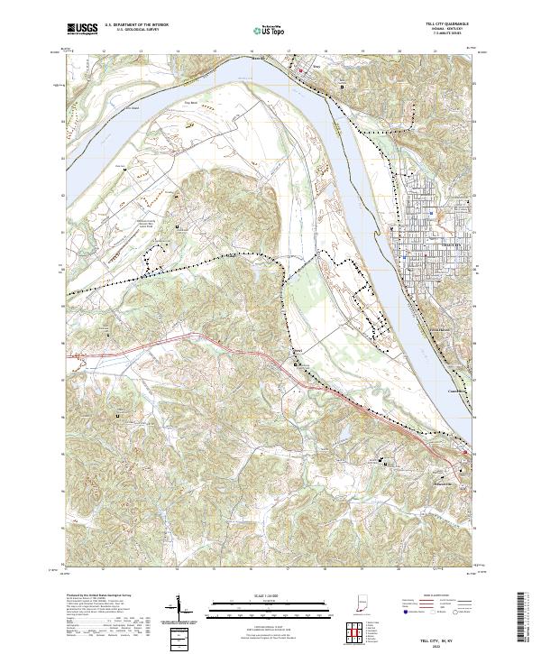
 2016 Tell City2016 Print · USGSCovers Cannelton, including Tell City, Hawesville, and other nearby areas
 - 2019 Map of Cannelton, 2019 Print
 2019 Cannelton2019 Print · USGSCovers Cannelton, including Tell City, Hawesville, and other nearby areas
 - 2019 Map of Tell City, 2019 Print
 2019 Tell City2019 Print · USGSCovers Cannelton, including Tell City, Hawesville, and other nearby areas
 - 2022 Map of Tell City, 2022 Print
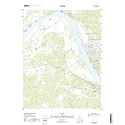
 2022 Tell City2022 Print · USGSThe Ohio River borderlands between Indiana and Kentucky are showcased here at the turn of the decade. Genealogists can trace family sites like Mount Calvary Cem and Ayres Cem near Tell City and Hawesville.
 - 2022 Map of Cannelton, 2022 Print
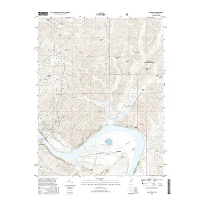
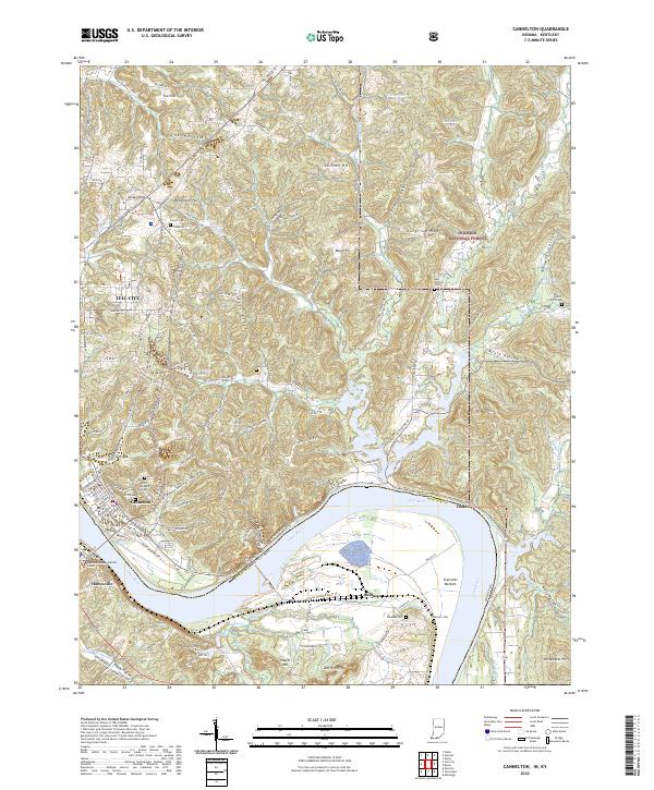 2022 Cannelton2022 Print · USGSThe riverfront towns of Cannelton and Tell City are captured here at the edge of the Hoosier National Forest. Family historians can trace numerous rural burial grounds like Log Church Cem and Powell Cem among the ridges of Coontail Ridge and Goosetown Ridge.
End of results
Showing maps 1-23 of 23
Top cities near Cannelton
- Tell City historical maps
- Lewisport historical maps
- Cloverport historical maps
- Hawesville historical maps
- Leopold historical maps
- Whitesville historical maps
See more
Frequently asked questions
- What are the different types of historical maps available for Cannelton?
- What is the oldest map of Cannelton?
- Where can I purchase historical maps of Cannelton for my home or office?
- Where can I download high-res historical maps of Cannelton?
- Are there historical topographic maps available for Cannelton?
- Is there historical aerial imagery available for Cannelton?
- Where are historical maps of Cannelton sourced from?