Old Maps of Welborn Switch, Indiana for Genealogy
Trace your family roots with 13 historic maps of Welborn Switch. These high-res maps reveal old neighborhoods, homesites, landmarks, and streets — helping you uncover where your ancestors lived and how the area evolved over time.
- Explore historic neighborhoods: Identify where your relatives may have lived in the 1800s or 1900s.
- Compare maps over time: Trace the changes in streets, buildings, and landmarks for multi-generational research.
- Perfect for genealogy & ancestry research: Used by family historians and researchers to map out lineage and migration.
These maps are an incredible resource for exploring your personal connection to Welborn Switch's past.
Welborn Switch, IN maps
(13)- 1940 Map of Carmi, 1965 Print
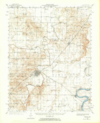 1940 Carmi1965 Print · USGSThe river-and-rail hub of Carmi and the surrounding White County prairies are documented here just before the mid-century. Researchers can trace rural family roots through dozens of named sites like Miller Cem, Stokes Chapel, and Williams Sch.
 - 1943 Map of Carmi
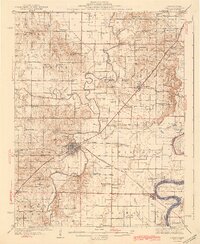 1943 Carmi1943 Print · USGSWhite County, Illinois, is captured during the early 1940s at a critical rail and river junction. Genealogists and researchers can locate scores of rural schools and churches, from Stokes Chapel and Sylvan Glen Sch to the Baptist Orphanage near Carmi.2 unique versions available
 - 1958 Map of Belleville, 1973 Print
 1958 Belleville1973 Print · USGSSouthern Illinois during the mid-twentieth century reveals a landscape of industrial growth and massive new reservoirs. Genealogists and historians can trace the paths of the Illinois Central RR through towns like Centralia or locate landmarks such as Emerald Mound and the Looking Glass Prairie.3 unique versions available
 - 1959 Map of Maunie, 1960 Print
 1959 Maunie1960 Print · USGSThe Illinois-Indiana border along the Wabash River is captured here in the late fifties, showcasing a shifting riverine landscape. Genealogists and researchers can trace family lands in Harmony or follow the Louisville and Nashville rail line past Weirs Lake.2 unique versions available
 - 1962 Map of Belleville
 1962 Belleville1962 Print · USGSSouthern Illinois in the late fifties reveals a landscape of industrial growth and ancient landmarks before the full expansion of the interstate system. Genealogists can trace family names and rural post offices near Centralia, Salem, and the historic Monks Mound.
 - 1974 Map of Maunie, 1977 Print
 1974 Maunie1977 Print · USGSThe Wabash River borderlands in the mid-seventies reveal a landscape defined by oil extraction and river navigation. Genealogists and local historians can trace family plots like Kuykendall Cem and explore riverside life near Maunie and Rising Sun.
 - 1982 Map of Mount Vernon
 1982 Mount Vernon1982 Print · USGSSouthern Illinois and Southwestern Indiana meet here during a period of significant regional water management and transit growth. Researchers can trace the development of Rend Lake and locate vanished rail stops along the Southern RR near Bluford and Golden Gate.
 - 2010 Map of Maunie, 2010 Print
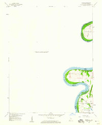
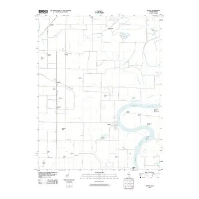 2010 Maunie2010 Print · USGSCovers Welborn Switch, including Maunie, Rising Sun, and other nearby areas
 - 2012 Map of Maunie, 2012 Print
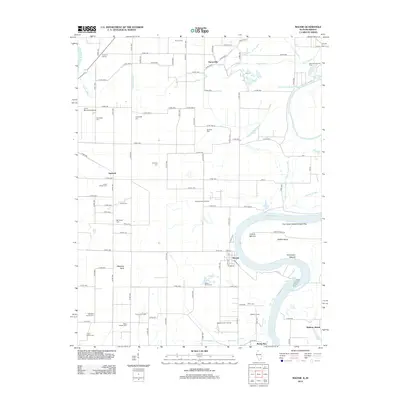 2012 Maunie2012 Print · USGSCovers Welborn Switch, including Maunie, Rising Sun, and other nearby areas
 - 2015 Map of Maunie, 2015 Print
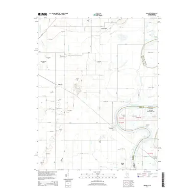 2015 Maunie2015 Print · USGSCovers Welborn Switch, including Maunie, Rising Sun, and other nearby areas
 - 2018 Map of Maunie, 2018 Print
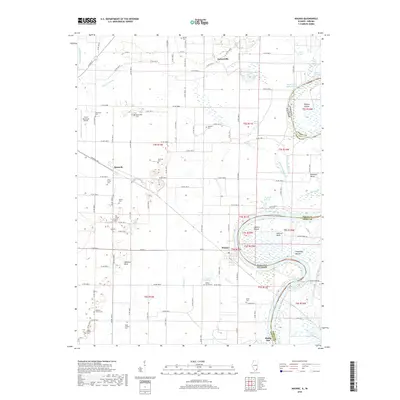 2018 Maunie2018 Print · USGSCovers Welborn Switch, including Maunie, Rising Sun, and other nearby areas
 - 2021 Map of Maunie, 2021 Print
 2021 Maunie2021 Print · USGSCovers Welborn Switch, including Maunie, Rising Sun, and other nearby areas
 - 2024 Map of Maunie, 2024 Print
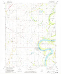
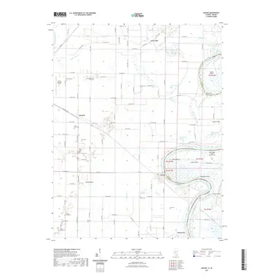
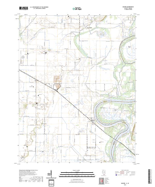 2024 Maunie2024 Print · USGSThe river-driven landscape of White County comes into focus in this contemporary survey of the Illinois and Indiana border. Genealogists and local historians can trace family burial sites like Williams Family Cem and ancient landmarks including Aldrich Mound and Thompson Mound.
End of results
Showing maps 1-13 of 13
Top cities near Welborn Switch
- Mount Vernon historical maps
- Carmi historical maps
- Grayville historical maps
- Poseyville historical maps
- Uniontown historical maps
- New Harmony historical maps
See more
Frequently asked questions
- What are the different types of historical maps available for Welborn Switch?
- What is the oldest map of Welborn Switch?
- Where can I purchase historical maps of Welborn Switch for my home or office?
- Where can I download high-res historical maps of Welborn Switch?
- Are there historical topographic maps available for Welborn Switch?
- Is there historical aerial imagery available for Welborn Switch?
- Where are historical maps of Welborn Switch sourced from?