Old Maps of Behlmer Corner, Indiana for Academic Research
Study the evolution of Behlmer Corner with 10 high-resolution historic maps. Whether you're teaching, researching, or modeling changes in land use, these maps provide essential visual documentation of urban, environmental, and geographic change.
- Analyze long-term change: Track patterns in development, transportation, and natural features.
- Ideal for environmental or urban studies: Support academic projects with primary historical map data.
- Use in the classroom or lab: Educators and researchers rely on these maps to bring historical context to life.
These maps are a powerful tool for teaching, research, and visualizing how Behlmer Corner has changed over the decades.
Behlmer Corner, IN maps
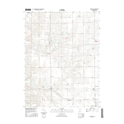
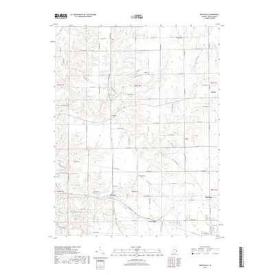
(10)- 1946 Map of Pierceville
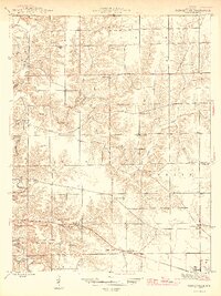 1946 Pierceville1946 Print · USGSRipley County is captured in the mid-1940s as its rural communities and rail corridors shaped the local economy. Researchers can trace family sites near Old Milan, find rural schoolhouses like Mang Sch, and locate numerous country parishes including Adams Ch and Mud Pike Ch.2 unique versions available
 - 1953 Map of Cincinnati, 1965 Print
 1953 Cincinnati1965 Print · USGSThe Ohio River valley and the industrial heartland of Indiana and Ohio are captured here during the mid-century peak of rail and river commerce. Genealogists and historians can trace connections between Cincinnati and outlying military sites like Camp Atterbury and Bakalar AFB.3 unique versions available
 - 1957 Map of Cincinnati
 1957 Cincinnati1957 Print · USGSThe Ohio River valley and its surrounding highlands thrived during the mid-fifties industrial peak, centered on the bustling Cincinnati and Dayton metropolitan hubs. Researchers can trace the extensive rail networks and military sites like Wright-Patterson AFB and Camp Atterbury.
 - 1961 Map of Pierceville, 1963 Print
 1961 Pierceville1963 Print · USGSRipley County in the early sixties maintains a landscape of tight-knit farming hamlets and river-valley roads. Genealogists can locate family sites near Little Memory Cem, St Pauls Ch, and the small crossroads at Stumpke Corner.3 unique versions available
 - 1986 Map of Greensburg
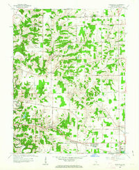
 1986 Greensburg1986 Print · USGSSoutheastern Indiana in the mid-eighties shows a balance of growing industrial centers and deeply rooted rural communities. Family historians can trace landmarks like the Highland Center School, South Park Cemetery, and the Bartholomew County Courthouse among the river forks.2 unique versions available
 - 2010 Map of Pierceville, 2010 Print
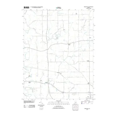 2010 Pierceville2010 Print · USGSCovers Behlmer Corner, including Milan, Delaware, and other nearby areas
 - 2013 Map of Pierceville, 2013 Print
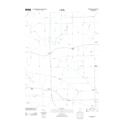 2013 Pierceville2013 Print · USGSCovers Behlmer Corner, including Milan, Delaware, and other nearby areas
 - 2016 Map of Pierceville, 2016 Print
 2016 Pierceville2016 Print · USGSCovers Behlmer Corner, including Milan, Delaware, and other nearby areas
 - 2019 Map of Pierceville, 2019 Print
 2019 Pierceville2019 Print · USGSCovers Behlmer Corner, including Milan, Delaware, and other nearby areas
 - 2022 Map of Pierceville, 2022 Print
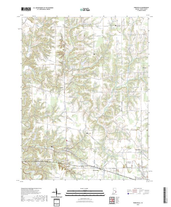 2022 Pierceville2022 Print · USGSRipley County, Indiana, is captured here in the early twenty-first century, showing the enduring rural network of townships and creek valleys. Genealogists can trace family roots at Little Memory Church Cem and through settlements like Old Milan and Delaware.
End of results
Showing maps 1-10 of 10
Top cities near Behlmer Corner
- Batesville historical maps
- Sparta historical maps
- Brookville historical maps
- Versailles historical maps
- Milan historical maps
- Osgood historical maps
See more
Frequently asked questions
- What are the different types of historical maps available for Behlmer Corner?
- What is the oldest map of Behlmer Corner?
- Where can I purchase historical maps of Behlmer Corner for my home or office?
- Where can I download high-res historical maps of Behlmer Corner?
- Are there historical topographic maps available for Behlmer Corner?
- Is there historical aerial imagery available for Behlmer Corner?
- Where are historical maps of Behlmer Corner sourced from?