Old Maps of Oak Grove, Indiana for Academic Research
Study the evolution of Oak Grove with 10 high-resolution historic maps. Whether you're teaching, researching, or modeling changes in land use, these maps provide essential visual documentation of urban, environmental, and geographic change.
- Analyze long-term change: Track patterns in development, transportation, and natural features.
- Ideal for environmental or urban studies: Support academic projects with primary historical map data.
- Use in the classroom or lab: Educators and researchers rely on these maps to bring historical context to life.
These maps are a powerful tool for teaching, research, and visualizing how Oak Grove has changed over the decades.
Oak Grove, IN maps
(10)- 1953 Map of Chicago, 1964 Print
 1953 Chicago1964 Print · USGSThe southern Lake Michigan shoreline was rapidly modernizing in the mid-fifties, balancing heavy industry with its famous academic centers. Researchers can trace the footprints of Notre Dame University or locate vanished sites like the Kingsbury Ordnance Plant and Meigs Field.5 unique versions available
 - 1957 Map of Chicago
 1957 Chicago1957 Print · USGSThe industrial heartland and southern Great Lakes shoreline are captured here during the peak of mid-century growth. Researchers can trace the massive Gary Steel Works, the grounds of the University of Notre Dame, and the early paths of the Tri-State Tollway.
 - 1958 Map of Donaldson, 1959 Print
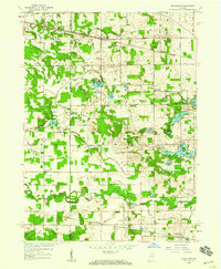 1958 Donaldson1959 Print · USGSMarshall County in the late fifties was a landscape of fertile farmland and quiet rail stops like Burr Oak and Donaldson. Researchers can trace the grounds of the Convent Ancilla Domini or locate family plots at McElrath Cem.
 - 1972 Map of Donaldson, 1974 Print
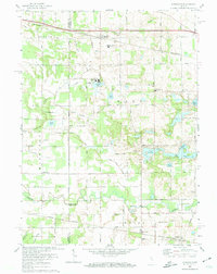 1972 Donaldson1974 Print · USGSThe rural borderlands of Marshall County are captured here in the early 1970s, showing a landscape shaped by rail lines and religious institutions. You can trace the Penn Central tracks through Donaldson or locate local landmarks like Ancilla Domini College and Burr Oak Cem.
 - 1984 Map of Knox, 1985 Print
 1984 Knox1985 Print · USGSNorthern Indiana's glacial lake country is captured in the mid-eighties, showing a landscape defined by the Kankakee River and major rail lines. Genealogists and historians can trace family ties through lakefront settlements like Lake Maxinkuckee and Bass Lake or the Old Indian Treaty Boundary.2 unique versions available
 - 2010 Map of Donaldson, 2010 Print
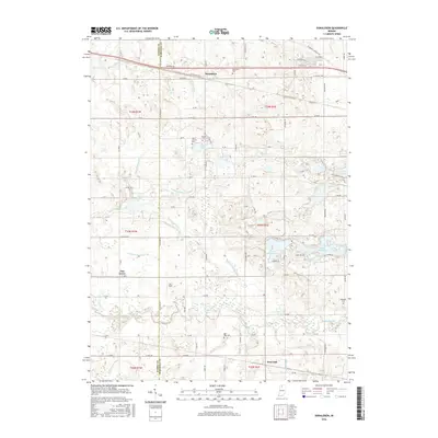
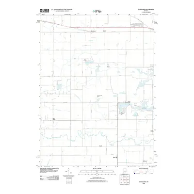 2010 Donaldson2010 Print · USGSCovers Oak Grove, including Hibbard, Burr Oak, and other nearby areas
 - 2013 Map of Donaldson, 2013 Print
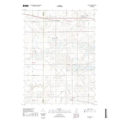
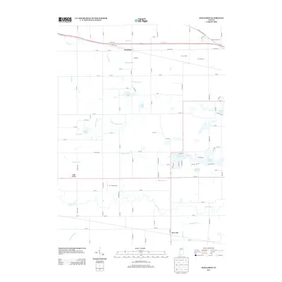 2013 Donaldson2013 Print · USGSCovers Oak Grove, including Hibbard, Burr Oak, and other nearby areas
 - 2016 Map of Donaldson, 2016 Print
 2016 Donaldson2016 Print · USGSCovers Oak Grove, including Hibbard, Burr Oak, and other nearby areas
 - 2019 Map of Donaldson, 2019 Print
 2019 Donaldson2019 Print · USGSCovers Oak Grove, including Hibbard, Burr Oak, and other nearby areas
 - 2022 Map of Donaldson, 2022 Print
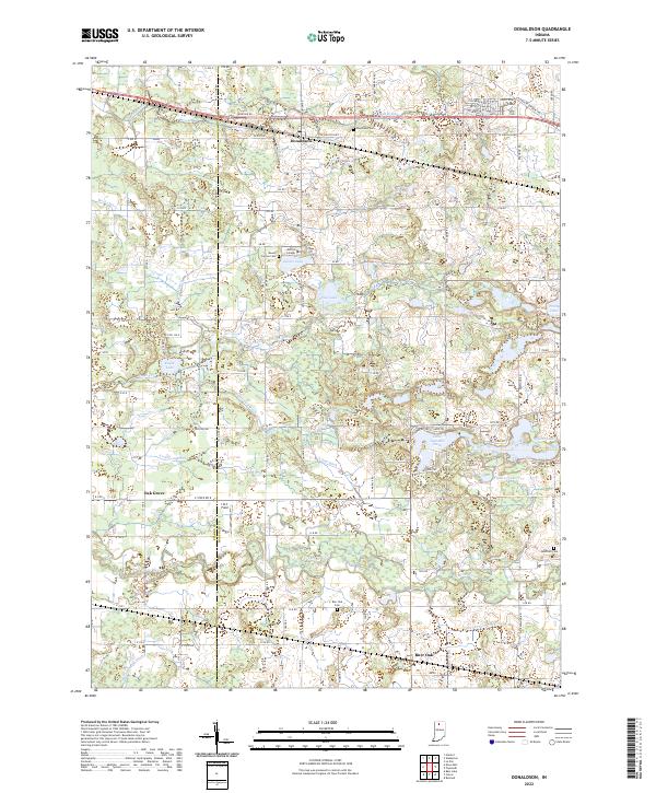 2022 Donaldson2022 Print · USGSThe rural marshlands and prairie of Marshall County appear in fine detail during the early 2020s. Genealogists and local historians can trace family roots at Donaldson Cem, Ancilla College, or along the winding banks of the Yellow River.
End of results
Showing maps 1-10 of 10
Top cities near Oak Grove
- Plymouth historical maps
- Kankakee historical maps
- Knox historical maps
- Winamac historical maps
- Walkerton historical maps
- Argos historical maps
See more
Frequently asked questions
- What are the different types of historical maps available for Oak Grove?
- What is the oldest map of Oak Grove?
- Where can I purchase historical maps of Oak Grove for my home or office?
- Where can I download high-res historical maps of Oak Grove?
- Are there historical topographic maps available for Oak Grove?
- Is there historical aerial imagery available for Oak Grove?
- Where are historical maps of Oak Grove sourced from?