Old Maps of Berlien, Indiana for Hiking & Exploration
Hike through history with 13 historic maps of Berlien. Explore old trails, ghost towns, and forgotten backroads — perfect for outdoor adventurers and local explorers.
- Rediscover forgotten places: Map out old mining camps, roads, and footpaths that no longer exist on modern maps.
- Layer with modern tools: Combine with LiDAR or satellite views to plan hikes through historical terrain.
- Made for exploration: Popular among hikers, overlanders, and local history lovers.
Use these maps to find adventure and explore the hidden past of Berlien.
Berlien, IN maps
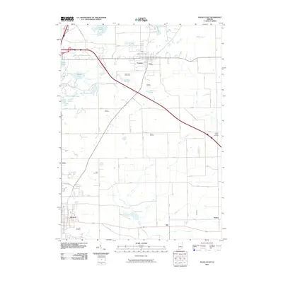
(13)- 1939 Map of Angola East
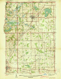 1939 Angola East1939 Print · USGSSteuben County was a landscape of glacial lakes and transition at the close of the 1930s. Researchers can trace the routes of the New York Central railroad and locate rural landmarks like Dewey Sch, Jones Chapel, and Jordan Cem.
 - 1947 Map of Angola East
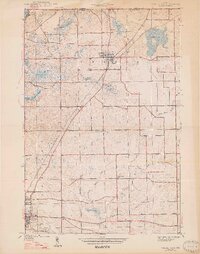 1947 Angola East1947 Print · USGSSteuben County was a landscape of glacial lakes and rural rail lines in the years before the interstate arrived. You can trace the New York Central route through Fremont or locate local landmarks like Jones Chapel and Scott Center Sch.2 unique versions available
 - 1953 Map of Fort Wayne, 1963 Print
 1953 Fort Wayne1963 Print · USGSNortheast Indiana and its neighboring borderlands in Michigan and Ohio appear here during a peak era of rail and road expansion. Researchers can trace the massive rail networks of the Nickel Plate Road and Wabash or locate lakeside landmarks like Lake Wawasee and Clear Lake.4 unique versions available
 - 1956 Map of Fort Wayne
 1956 Fort Wayne1956 Print · USGSThe tri-state borderlands of Indiana, Michigan, and Ohio are captured here in the mid-fifties, centered on the growing industrial hub of Fort Wayne. Researchers can trace the heavy rail lines of the New York Central and Pennsylvania alongside prominent water features like Lake Wawasee and the Maumee River.2 unique versions available
 - 1960 Map of Angola East, 1962 Print
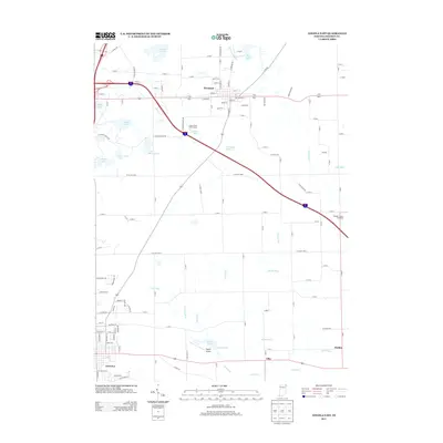
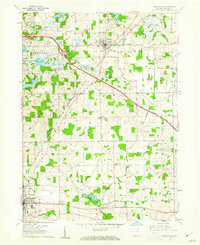 1960 Angola East1962 Print · USGSSteuben County during the early sixties shows a landscape transitioning between traditional farming and modern infrastructure. Genealogists and local historians can locate family landmarks like Jones Chapel, Lakeside Cem, and the Scott Center Sch.3 unique versions available
 - 1985 Map of Adrian
 1985 Adrian1985 Print · USGSThe tri-state borderlands of Michigan, Indiana, and Ohio were well-established by the mid-1980s, characterized by a dense network of glacial lakes and agricultural rail hubs. Genealogists and historians can trace rail lines like the Norfolk and Western Railway and locate landmarks such as the Old Indian Treaty Cem or Riverside Cem.
 - 1990 Map of Adrian, 1991 Print
 1990 Adrian1991 Print · USGSThe Michigan and Ohio borderlands come alive in the final decade of the twentieth century, showing the intricate network of glacial lakes and small-town junctions. Genealogists and local researchers can pinpoint family landmarks from Lakeview Cem to the rail sidings of the Conrail and Norfolk Southern lines.
 - 1993 Map of Angola East
 1993 Angola East1993 Print · USGSSteuben County in the early nineties shows a landscape of glacial wetlands and growing crossroads at the edge of the Michigan border. Researchers can trace rural lineages through the many family-named plots like Kope Cem or explore local landmarks like Fremont and the Steuben County Speedway.
 - 2010 Map of Angola East, 2010 Print
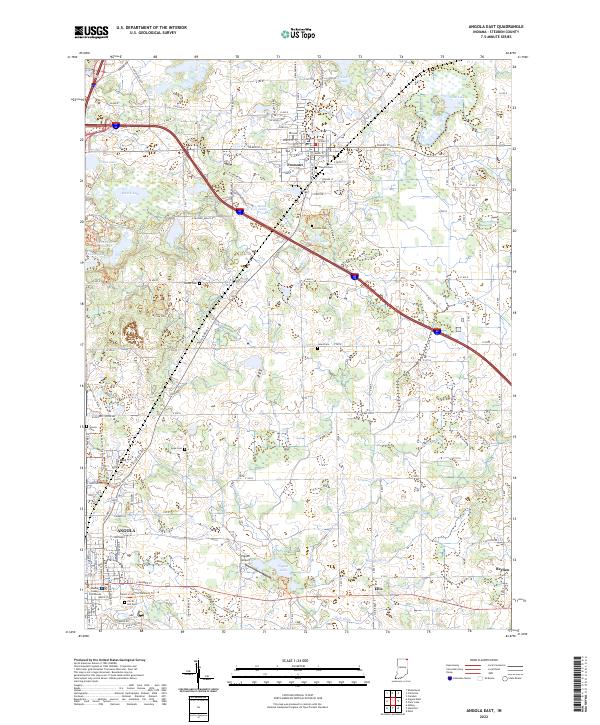
 2010 Angola East2010 Print · USGSCovers Berlien, including Angola, Fremont, and other nearby areas
 - 2013 Map of Angola East, 2013 Print
 2013 Angola East2013 Print · USGSCovers Berlien, including Angola, Fremont, and other nearby areas
 - 2016 Map of Angola East, 2016 Print
 2016 Angola East2016 Print · USGSCovers Berlien, including Angola, Fremont, and other nearby areas
 - 2019 Map of Angola East, 2019 Print
 2019 Angola East2019 Print · USGSCovers Berlien, including Angola, Fremont, and other nearby areas
 - 2022 Map of Angola East, 2022 Print
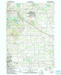
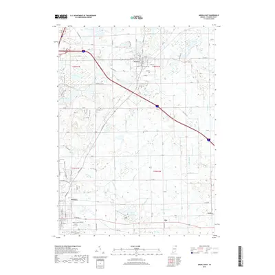
 2022 Angola East2022 Print · USGSSteuben County in the early 2020s shows a landscape where historic farmsteads and glacial lakes meet modern infrastructure. Genealogists and hikers can trace the paths of the Mcclue Nature Preserve Trails Trl or locate family plots at The Old Cem and Lakeside Cem.
End of results
Showing maps 1-13 of 13
Top cities near Berlien
- Angola historical maps
- Jamestown historical maps
- Butler historical maps
- Cambria historical maps
- Waterloo historical maps
- Edgerton historical maps
See more
Frequently asked questions
- What are the different types of historical maps available for Berlien?
- What is the oldest map of Berlien?
- Where can I purchase historical maps of Berlien for my home or office?
- Where can I download high-res historical maps of Berlien?
- Are there historical topographic maps available for Berlien?
- Is there historical aerial imagery available for Berlien?
- Where are historical maps of Berlien sourced from?