Old Maps of Orland, Indiana for Hiking & Exploration
Hike through history with 12 historic maps of Orland. Explore old trails, ghost towns, and forgotten backroads — perfect for outdoor adventurers and local explorers.
- Rediscover forgotten places: Map out old mining camps, roads, and footpaths that no longer exist on modern maps.
- Layer with modern tools: Combine with LiDAR or satellite views to plan hikes through historical terrain.
- Made for exploration: Popular among hikers, overlanders, and local history lovers.
Use these maps to find adventure and explore the hidden past of Orland.
Orland, IN maps
(12)- 1940 Map of Orland
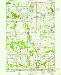 1940 Orland1940 Print · USGSSteuben and LaGrange Counties appear at the end of the 1930s as a landscape of glacial lakes and quiet farming settlements. Genealogists can trace early homesteads near Orland, Greenlawn Cem, and the old prairie tracks of Vistula Road.2 unique versions available
 - 1941 Map of Orland
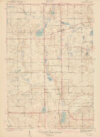 1941 Orland1941 Print · USGSSteuben and LaGrange Counties are shown here just before the war, characterized by a landscape of glacial lakes and prairie. Trace family roots and local landmarks like Orland Fish Hatchery, Greenlawn Cem, and Greenfield Mills.2 unique versions available
 - 1953 Map of Fort Wayne, 1963 Print
 1953 Fort Wayne1963 Print · USGSNortheast Indiana and its neighboring borderlands in Michigan and Ohio appear here during a peak era of rail and road expansion. Researchers can trace the massive rail networks of the Nickel Plate Road and Wabash or locate lakeside landmarks like Lake Wawasee and Clear Lake.4 unique versions available
 - 1956 Map of Fort Wayne
 1956 Fort Wayne1956 Print · USGSThe tri-state borderlands of Indiana, Michigan, and Ohio are captured here in the mid-fifties, centered on the growing industrial hub of Fort Wayne. Researchers can trace the heavy rail lines of the New York Central and Pennsylvania alongside prominent water features like Lake Wawasee and the Maumee River.2 unique versions available
 - 1960 Map of Orland, 1962 Print
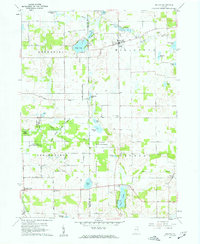 1960 Orland1962 Print · USGSThe Indiana lake country at the turn of the sixties reveals a landscape shaped by conservation and rural community life. Genealogists and historians can trace family locations through Greenlawn Cem, East Springfield Ch, and the settlement of Orland.2 unique versions available
 - 1985 Map of Elkhart
 1985 Elkhart1985 Print · USGSThe Indiana-Michigan borderlands come into focus in the mid-1980s, showcasing the industrial rail hubs and rural agricultural townships of the St. Joseph valley. Genealogists and historians can trace the growth of Elkhart, Goshen, and Three Rivers, or locate smaller communities like Middlebury and White Pigeon.2 unique versions available
 - 1992 Map of Orland, 1993 Print
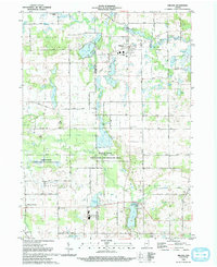 1992 Orland1993 Print · USGSSteuben and LaGrange counties are captured here in the early nineties, showing a landscape of glacial lakes and river conservation areas. Researchers can locate local landmarks like the Fawn River Fish Hatchery, Mill Grove Cem, and Charity Ch.
 - 2010 Map of Orland, 2010 Print
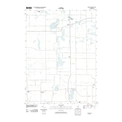 2010 Orland2010 Print · USGSCovers Orland, including Brushy Prairie, Flint, and other nearby areas
 - 2013 Map of Orland, 2013 Print
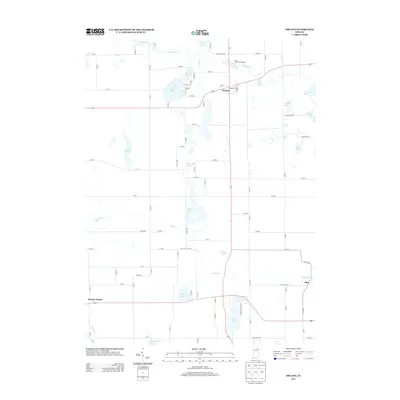 2013 Orland2013 Print · USGSCovers Orland, including Brushy Prairie, Flint, and other nearby areas
 - 2016 Map of Orland, 2016 Print
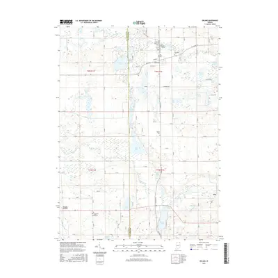 2016 Orland2016 Print · USGSCovers Orland, including Brushy Prairie, Flint, and other nearby areas
 - 2019 Map of Orland, 2019 Print
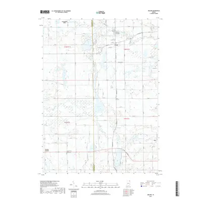 2019 Orland2019 Print · USGSCovers Orland, including Brushy Prairie, Flint, and other nearby areas
 - 2022 Map of Orland, 2022 Print
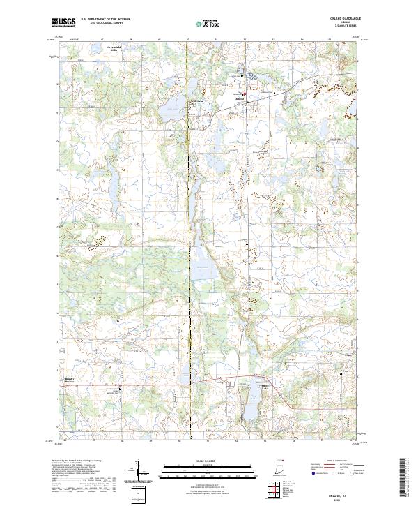 2022 Orland2022 Print · USGSSteuben and LaGrange Counties are shown here during the early 2020s, a landscape defined by glacial lakes and small rural communities. Genealogists can locate several historic burial grounds like Mill Grove Cem and Carlton Cem alongside settlements such as Orland and Flint.
End of results
Showing maps 1-12 of 12
Top cities near Orland
- Sturgis historical maps
- Coldwater historical maps
- Angola historical maps
- Jamestown historical maps
- Bronson historical maps
- Fawn River historical maps
See more
Frequently asked questions
- What are the different types of historical maps available for Orland?
- What is the oldest map of Orland?
- Where can I purchase historical maps of Orland for my home or office?
- Where can I download high-res historical maps of Orland?
- Are there historical topographic maps available for Orland?
- Is there historical aerial imagery available for Orland?
- Where are historical maps of Orland sourced from?