Old Maps of Antioch, Indiana for Genealogy
Trace your family roots with 11 historic maps of Antioch. These high-res maps reveal old neighborhoods, homesites, landmarks, and streets — helping you uncover where your ancestors lived and how the area evolved over time.
- Explore historic neighborhoods: Identify where your relatives may have lived in the 1800s or 1900s.
- Compare maps over time: Trace the changes in streets, buildings, and landmarks for multi-generational research.
- Perfect for genealogy & ancestry research: Used by family historians and researchers to map out lineage and migration.
These maps are an incredible resource for exploring your personal connection to Antioch's past.
Antioch, IN maps
(11)- 1943 Map of Florence
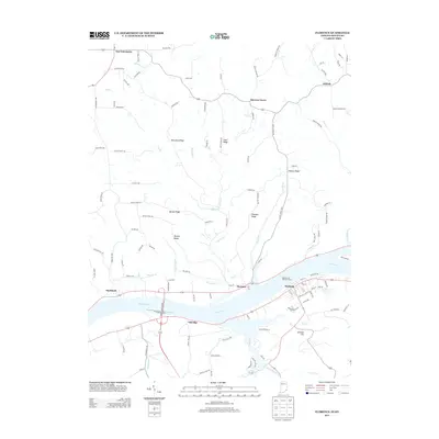
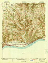 1943 Florence1943 Print · USGSSwitzerland County's rugged riverfront is captured here in the early 1940s, showing the steep ridges and hollows overlooking the Ohio River. Genealogists can locate family landmarks like Bark Works Cem, the Warsaw Ferry crossing, and local schools such as Phillips Sch and West Union Sch.
 - 1951 Map of Florence, 1953 Print
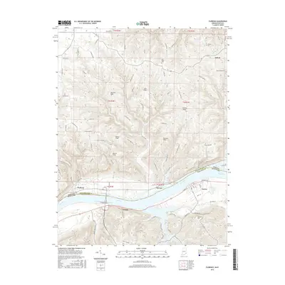
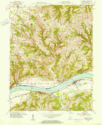 1951 Florence1953 Print · USGSThe Ohio River valley at mid-century reveals a landscape of ridge-top farms and riverfront commerce between Indiana and Kentucky. Researchers can trace historic ferry crossings at Florence, family burial sites like Gridley Cem, and early aviation at Warsaw Airfield.
 - 1956 Map of Louisville, 1971 Print
 1956 Louisville1971 Print · USGSThe Ohio River valley and the Kentucky Bluegrass are captured here during a period of rapid mid-century growth and industrial activity. Genealogists and historians can trace rail-centered towns and military land use at Fort Knox and the Jefferson Proving Ground.2 unique versions available
 - 1964 Map of Louisville
 1964 Louisville1964 Print · USGSThe Ohio River valley and Kentucky Bluegrass are captured in the mid-1960s, showing a region balanced between industrial growth and its agrarian roots. Genealogists and historians can trace the development of county seats like Shelbyville and Paris, or locate established institutions such as Georgetown College and Bernheim Forest.
 - 1966 Map of Florence, 1968 Print
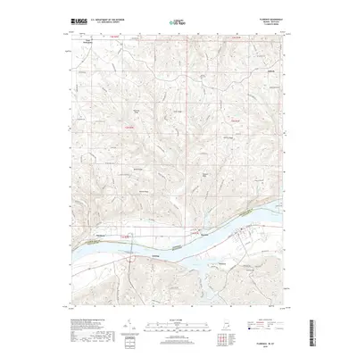
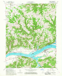 1966 Florence1968 Print · USGSThe Ohio River valley during the mid-sixties reveals a landscape defined by heavy river engineering and upland farming. Researchers can trace the infrastructure of the Markland Locks and Dam or locate family sites at Antioch Cem and Quercus Grove.4 unique versions available
 - 1986 Map of Falmouth
 1986 Falmouth1986 Print · USGSNorthern Kentucky and the Ohio River valley are shown here in the mid-1980s, highlighting the region's complex river-and-rail geography. Genealogists and researchers can trace the roads connecting Big Bone Lick, Zion Church, and river towns like Falmouth and Augusta.2 unique versions available
 - 2010 Map of Florence, 2010 Print
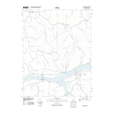 2010 Florence2010 Print · USGSCovers Antioch, including Warsaw, Florence, and other nearby areas
 - 2013 Map of Florence, 2013 Print
 2013 Florence2013 Print · USGSCovers Antioch, including Warsaw, Florence, and other nearby areas
 - 2016 Map of Florence, 2016 Print
 2016 Florence2016 Print · USGSCovers Antioch, including Warsaw, Florence, and other nearby areas
 - 2019 Map of Florence, 2019 Print
 2019 Florence2019 Print · USGSCovers Antioch, including Warsaw, Florence, and other nearby areas
 - 2022 Map of Florence, 2022 Print
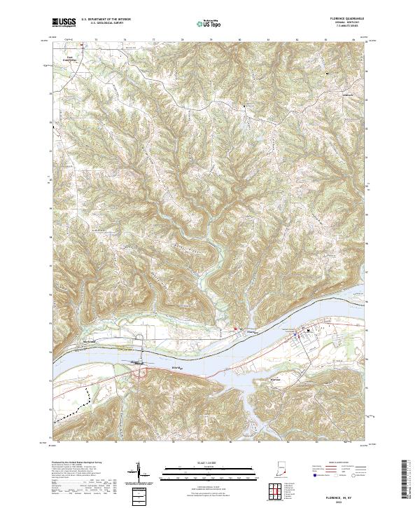 2022 Florence2022 Print · USGSThe Ohio River valley at the Indiana-Kentucky border comes alive on this contemporary survey of the river and its surrounding ridges. Genealogists and historians can trace the streets of Warsaw, locate the Gallatin County Courthouse, and find rural landmarks like Antioch Cem and East Enterprise.
End of results
Showing maps 1-11 of 11
Top cities near Antioch
- Cincinnati historical maps
- Florence historical maps
- Burlington historical maps
- Union historical maps
- Lawrenceburg historical maps
- Aurora historical maps
See more
Frequently asked questions
- What are the different types of historical maps available for Antioch?
- What is the oldest map of Antioch?
- Where can I purchase historical maps of Antioch for my home or office?
- Where can I download high-res historical maps of Antioch?
- Are there historical topographic maps available for Antioch?
- Is there historical aerial imagery available for Antioch?
- Where are historical maps of Antioch sourced from?