Old Maps of Clarks Hill, Indiana
Explore 16 old maps of Clarks Hill, spanning from 1953 to today. These high-resolution historic maps reveal how streets, neighborhoods, landmarks, and natural features evolved over time — perfect for genealogy, metal detecting, research, and local history exploration.
What you can do with these maps:
- See how Clarks Hill changed over time: Compare historical maps to modern-day views to trace roads, homesites, rail lines & more.
- View detailed metadata: Each map includes creators, publishers, year, scale, and archive source.
- Overlay maps with satellite & LiDAR: Visualize the past alongside modern tools to explore terrain & human change.
- Trusted historical sources: Maps sourced from the USGS, Library of Congress, and other archives.
- Access maps your way: View online, download high-res files, or order prints for personal or research use.
Start exploring old maps of Clarks Hill to uncover forgotten places, hidden landmarks, and the deep history beneath your feet.
Clarks Hill, IN maps
(16)- 1953 Map of Danville, 1965 Print
 1953 Danville1965 Print · USGSIndiana and Illinois crossroads come to life in this mid-century survey as the interstate era begins to reshape the river-and-rail landscape. Genealogists and collectors can trace the historic paths of the Nickel Plate railroad or locate smaller communities like Veedersburg, Goodland, and Bismarck.3 unique versions available
 - 1955 Map of Danville
 1955 Danville1955 Print · USGSThe Indiana-Illinois borderlands during the mid-fifties reveal a landscape of thriving rail hubs and university towns. Researchers can trace the legacy of Purdue University, the Tippecanoe Battlefield, and the path of the Pennsylvania RR.
 - 1956 Map of Danville
 1956 Danville1956 Print · USGSMid-century Indiana and Illinois are captured here as the river-and-rail economy evolved into the modern highway era. Researchers can trace ancestral roots and old transport lines through Logansport, Battle Ground, and the dams at Lake Shafer.
 - 1961 Map of Mulberry, 1962 Print
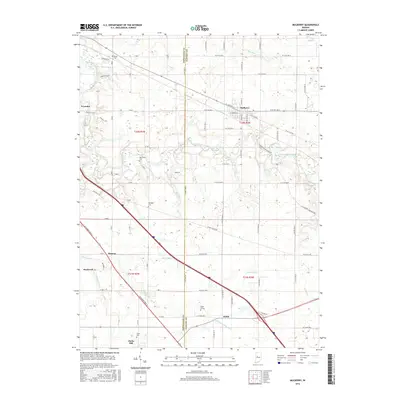
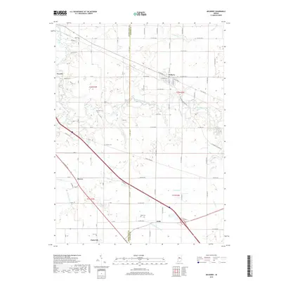
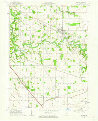 1961 Mulberry1962 Print · USGSClinton and Tippecanoe counties are shown in the early sixties as a productive agricultural region anchored by the railroad. Genealogists and historians can trace numerous rural family burial grounds like Baker Cem and Newcomer Cem, or locate the Clover Leaf Ch near the village of Fickle.3 unique versions available
 - 1962 Map of Colfax, 1963 Print
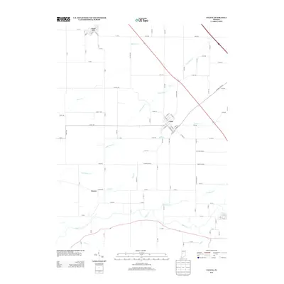
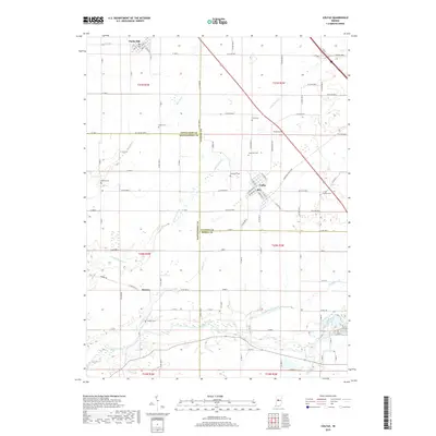
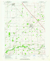 1962 Colfax1963 Print · USGSColfax and the surrounding rural townships are shown here in the early sixties at a peak of mid-century rail activity. Genealogists can trace family connections through numerous local burial sites including Union Cem, Shilo Cem, and Plainview Cem near the banks of Sugar Creek.2 unique versions available
 - 1984 Map of Lafayette, 1985 Print
 1984 Lafayette1985 Print · USGSNorth-central Indiana thrives in the 1980s as a hub of higher education, industry, and agriculture centered on the Wabash River. Genealogists and historians can locate family sites near Darrough Chapel, Oak Hill Cem, or the small crossroads of Thorntown and Colfax.2 unique versions available
 - 2010 Map of Colfax, 2010 Print
 2010 Colfax2010 Print · USGSCovers Clarks Hill, including Colfax, Bowers, and other nearby areas
 - 2010 Map of Mulberry, 2010 Print
 2010 Mulberry2010 Print · USGSCovers Clarks Hill, including Mulberry, Wyandot, and other nearby areas
 - 2013 Map of Colfax, 2013 Print
 2013 Colfax2013 Print · USGSCovers Clarks Hill, including Colfax, Bowers, and other nearby areas
 - 2013 Map of Mulberry, 2013 Print
 2013 Mulberry2013 Print · USGSCovers Clarks Hill, including Mulberry, Wyandot, and other nearby areas
 - 2016 Map of Colfax, 2016 Print
 2016 Colfax2016 Print · USGSCovers Clarks Hill, including Colfax, Bowers, and other nearby areas
 - 2016 Map of Mulberry, 2016 Print
 2016 Mulberry2016 Print · USGSCovers Clarks Hill, including Mulberry, Wyandot, and other nearby areas
 - 2019 Map of Mulberry, 2019 Print
 2019 Mulberry2019 Print · USGSCovers Clarks Hill, including Mulberry, Wyandot, and other nearby areas
 - 2019 Map of Colfax, 2019 Print
 2019 Colfax2019 Print · USGSCovers Clarks Hill, including Colfax, Bowers, and other nearby areas
 - 2022 Map of Colfax, 2022 Print
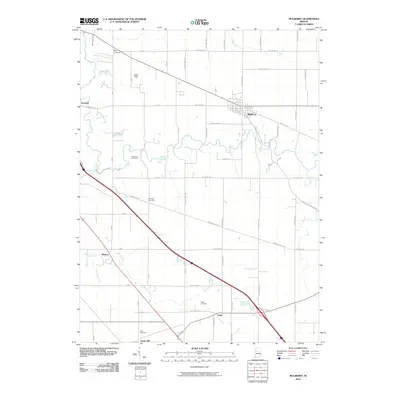
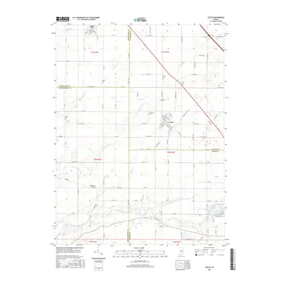
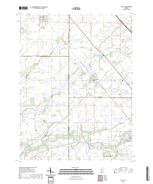 2022 Colfax2022 Print · USGSIndiana's rural heartland is meticulously documented in this survey of the four-county junction area involving Clinton, Montgomery, Boone, and Tippecanoe Counties. Researchers can locate family heritage sites like Shiloh Cem, trace the route of the Big Four Trl, and explore the layout of Colfax.
 - 2022 Map of Mulberry, 2022 Print
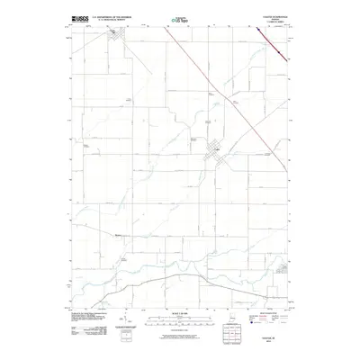
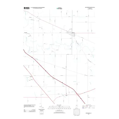
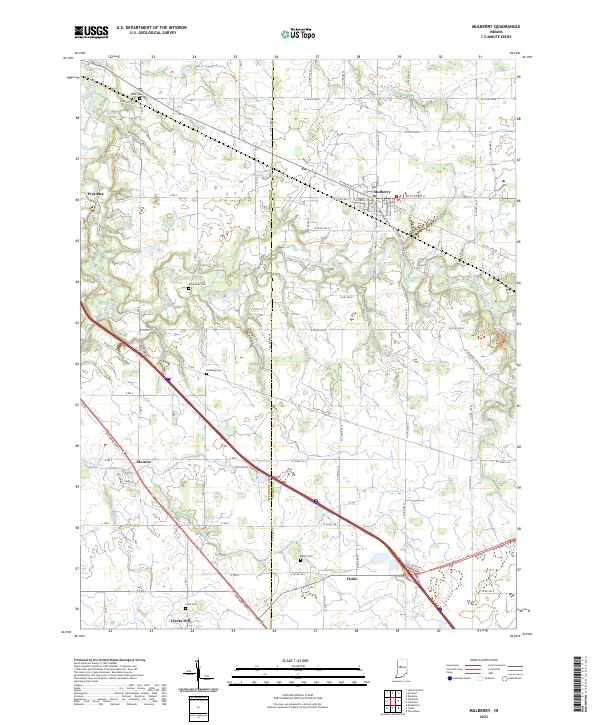 2022 Mulberry2022 Print · USGSClinton and Tippecanoe Counties come together in this modern portrait of Indiana’s agricultural heartland. Researchers can trace historic family burial grounds like Baker Cem and Abbot Cem or locate the small rural settlements of Wyandot and Fickle.
End of results
Showing maps 1-16 of 16
Top cities near Clarks Hill
- Lafayette historical maps
- West Lafayette historical maps
- Frankfort historical maps
- Lebanon historical maps
- Crawfordsville historical maps
- Shadeland historical maps
See more
Frequently asked questions
- What are the different types of historical maps available for Clarks Hill?
- What is the oldest map of Clarks Hill?
- Where can I purchase historical maps of Clarks Hill for my home or office?
- Where can I download high-res historical maps of Clarks Hill?
- Are there historical topographic maps available for Clarks Hill?
- Is there historical aerial imagery available for Clarks Hill?
- Where are historical maps of Clarks Hill sourced from?