2000s (21st Century) Maps of Clarks Hill, Indiana
Explore 10 historic maps of Clarks Hill from the 2000s (21st Century). These maps offer a rare glimpse into what life looked like during the 2000s — showing old roads, neighborhoods, homes, and landmarks that have changed or disappeared over time.
Whether you're researching your family's past, planning a metal detecting trip, or studying how Clarks Hill's landscape evolved across the 2000s, these high-resolution maps are a powerful tool for exploring the history of this region.
- Focus on a specific era: All maps on this page are from the 2000s, giving you a focused view of this time period.
- See what’s changed: Compare century-old streets, trails, and buildings to today's modern landscape using overlays and satellite layers.
- Research with precision: Use these maps for genealogy, historical research, land use analysis, or educational projects.
- View, download, or print: Maps are fully viewable online in high resolution, and can be downloaded or printed for your own records.
Start exploring Clarks Hill's history through authentic maps from the 2000s. This is your window into the past.
Clarks Hill, IN maps
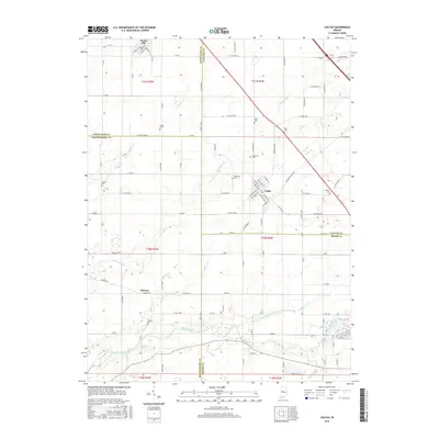
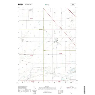
(10)- 2010 Map of Colfax, 2010 Print
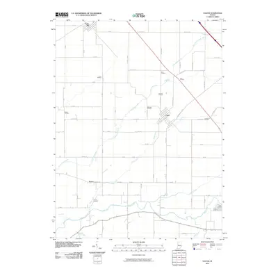 2010 Colfax2010 Print · USGSCovers Clarks Hill, including Colfax, Bowers, and other nearby areas
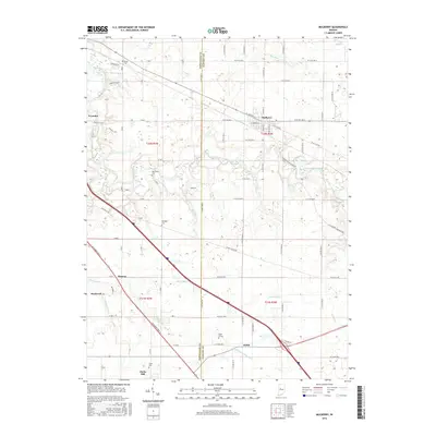
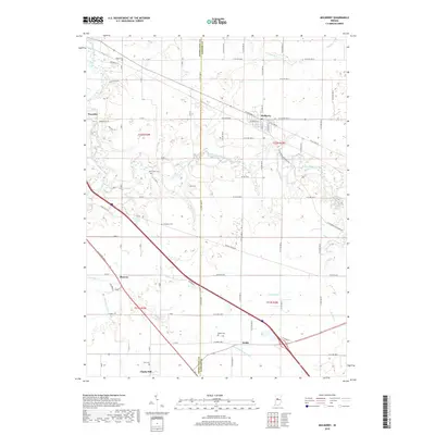
 - 2010 Map of Mulberry, 2010 Print
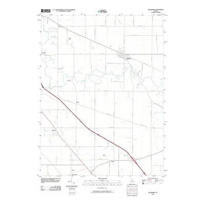 2010 Mulberry2010 Print · USGSCovers Clarks Hill, including Mulberry, Wyandot, and other nearby areas
 - 2013 Map of Colfax, 2013 Print
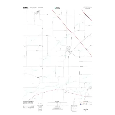 2013 Colfax2013 Print · USGSCovers Clarks Hill, including Colfax, Bowers, and other nearby areas
 - 2013 Map of Mulberry, 2013 Print
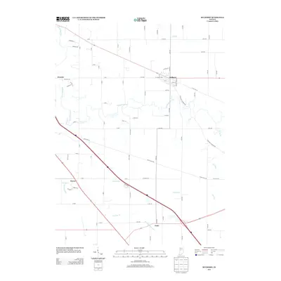 2013 Mulberry2013 Print · USGSCovers Clarks Hill, including Mulberry, Wyandot, and other nearby areas
 - 2016 Map of Colfax, 2016 Print
 2016 Colfax2016 Print · USGSCovers Clarks Hill, including Colfax, Bowers, and other nearby areas
 - 2016 Map of Mulberry, 2016 Print
 2016 Mulberry2016 Print · USGSCovers Clarks Hill, including Mulberry, Wyandot, and other nearby areas
 - 2019 Map of Mulberry, 2019 Print
 2019 Mulberry2019 Print · USGSCovers Clarks Hill, including Mulberry, Wyandot, and other nearby areas
 - 2019 Map of Colfax, 2019 Print
 2019 Colfax2019 Print · USGSCovers Clarks Hill, including Colfax, Bowers, and other nearby areas
 - 2022 Map of Colfax, 2022 Print
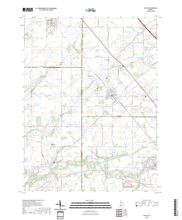 2022 Colfax2022 Print · USGSIndiana's rural heartland is meticulously documented in this survey of the four-county junction area involving Clinton, Montgomery, Boone, and Tippecanoe Counties. Researchers can locate family heritage sites like Shiloh Cem, trace the route of the Big Four Trl, and explore the layout of Colfax.
 - 2022 Map of Mulberry, 2022 Print
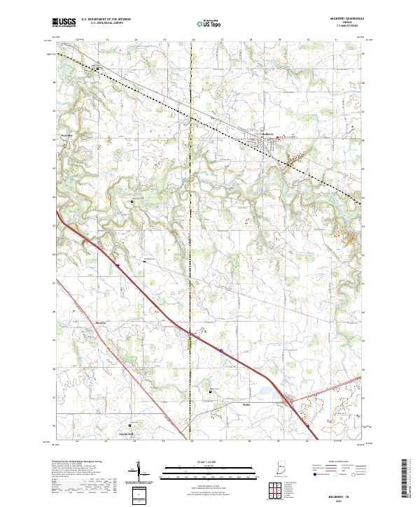 2022 Mulberry2022 Print · USGSClinton and Tippecanoe Counties come together in this modern portrait of Indiana’s agricultural heartland. Researchers can trace historic family burial grounds like Baker Cem and Abbot Cem or locate the small rural settlements of Wyandot and Fickle.
End of results
Showing maps 1-10 of 10
Top cities near Clarks Hill
- Lafayette historical maps
- West Lafayette historical maps
- Frankfort historical maps
- Lebanon historical maps
- Crawfordsville historical maps
- Shadeland historical maps
See more
Frequently asked questions
- What are the different types of historical maps available for Clarks Hill?
- What is the oldest map of Clarks Hill?
- Where can I purchase historical maps of Clarks Hill for my home or office?
- Where can I download high-res historical maps of Clarks Hill?
- Are there historical topographic maps available for Clarks Hill?
- Is there historical aerial imagery available for Clarks Hill?
- Where are historical maps of Clarks Hill sourced from?