Old Maps of Tecumseh, Lafayette
Explore 21 old maps of Tecumseh, spanning from 1941 to today. These high-resolution historic maps reveal how streets, neighborhoods, landmarks, and natural features evolved over time — perfect for genealogy, metal detecting, research, and local history exploration.
What you can do with these maps:
- See how Tecumseh changed over time: Compare historical maps to modern-day views to trace roads, homesites, rail lines & more.
- View detailed metadata: Each map includes creators, publishers, year, scale, and archive source.
- Overlay maps with satellite & LiDAR: Visualize the past alongside modern tools to explore terrain & human change.
- Trusted historical sources: Maps sourced from the USGS, Library of Congress, and other archives.
- Access maps your way: View online, download high-res files, or order prints for personal or research use.
Start exploring old maps of Tecumseh to uncover forgotten places, hidden landmarks, and the deep history beneath your feet.
Tecumseh, Lafayette maps
(21)- 1941 Map of Lafayette
 1941 Lafayette1941 Print · USGSLafayette and West Lafayette sit at a crossroads of river and rail during the early days of the Second World War. Researchers can trace the development of Purdue University, the grounds of the St Joseph Orphanage, and family plots in Sand Ridge Cem or Grandview Cem.
 - 1942 Map of Lafayette
 1942 Lafayette1942 Print · USGSMid-century Lafayette and the Purdue campus come alive in this survey from the early 1940s. Genealogists and historians can trace the foundations of the Purdue University Golf Course, find the St. Joseph Orphanage, and locate family plots at St. Mary's Cem.
 - 1950 Map of Lafayette, 1952 Print
 1950 Lafayette1952 Print · USGSLafayette and the Purdue University campus thrive during the mid-century as major educational and transit hubs along the Wabash River. Researchers can locate family landmarks like the Ouiatenon Blockhouse, Sharon Chapel, and the Wabash Sanitarium among the city's growing street grid.2 unique versions available
 - 1953 Map of Danville, 1965 Print
 1953 Danville1965 Print · USGSIndiana and Illinois crossroads come to life in this mid-century survey as the interstate era begins to reshape the river-and-rail landscape. Genealogists and collectors can trace the historic paths of the Nickel Plate railroad or locate smaller communities like Veedersburg, Goodland, and Bismarck.3 unique versions available
 - 1955 Map of Danville
 1955 Danville1955 Print · USGSThe Indiana-Illinois borderlands during the mid-fifties reveal a landscape of thriving rail hubs and university towns. Researchers can trace the legacy of Purdue University, the Tippecanoe Battlefield, and the path of the Pennsylvania RR.
 - 1956 Map of Danville
 1956 Danville1956 Print · USGSMid-century Indiana and Illinois are captured here as the river-and-rail economy evolved into the modern highway era. Researchers can trace ancestral roots and old transport lines through Logansport, Battle Ground, and the dams at Lake Shafer.
 - 1961 Map of Lafayette East, 1962 Print
 1961 Lafayette East1962 Print · USGSLafayette's eastern edge and the Wabash River valley are captured here just as mid-century suburban expansion reached into the surrounding townships. Genealogists and local researchers can trace long-standing landmarks like St Boniface Cemetery, Cary Camp, and the rail junction at Altamont Switch.5 unique versions available
 - 1961 Map of Lafayette West, 1964 Print
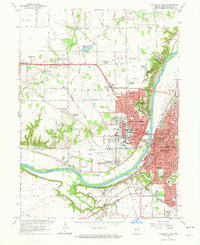 1961 Lafayette West1964 Print · USGSGreater Lafayette was evolving rapidly in the early sixties as university expansion and new residential additions transformed the river valley. Researchers can trace historic institutional sites like the Soldiers Home, the Ouiatenon Blockhouse, and the sprawling grounds of Purdue University.6 unique versions available
 - 1984 Map of Lafayette, 1985 Print
 1984 Lafayette1985 Print · USGSNorth-central Indiana thrives in the 1980s as a hub of higher education, industry, and agriculture centered on the Wabash River. Genealogists and historians can locate family sites near Darrough Chapel, Oak Hill Cem, or the small crossroads of Thorntown and Colfax.2 unique versions available
 - 1998 Map of Lafayette West, 2001 Print
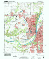 1998 Lafayette West2001 Print · USGSThe West Lafayette and Lafayette area is captured here at the end of the century, centered on the extensive Purdue University campus and riverfront. Researchers can trace historic local sites like St Marys Cem, the Indiana Veterans Home, and the old Norfolk and Western rail lines.
 - 1998 Map of Lafayette East, 2001 Print
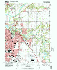 1998 Lafayette East2001 Print · USGSLafayette was rapidly expanding eastward toward the end of the century, merging modern suburban developments with historic river valley terrain. Genealogists and local historians can trace legacy sites like Springvale Cemetery, Bethany Ch, and several rural schools.
 - 2010 Map of Lafayette West, 2010 Print
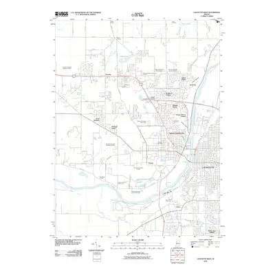 2010 Lafayette West2010 Print · USGSGreater Lafayette at the start of the 2010s shows a landscape deeply shaped by the academic and agricultural reach of Purdue University. Genealogists and local historians can trace legacy sites like Hebron Cemetery, the old Old Tow Path Rd, and the distinct neighborhoods of Klondike and Elston.
 - 2010 Map of Lafayette East, 2010 Print
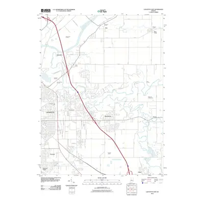 2010 Lafayette East2010 Print · USGSLafayette and its eastern Indiana suburbs are captured here during a period of steady growth and local aviation expansion. Genealogists and historians can trace numerous family burial grounds like Hollywood Cemetery and find small communities such as Eastwitch and Monitor.
 - 2013 Map of Lafayette West, 2013 Print
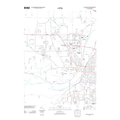 2013 Lafayette West2013 Print · USGSWest Lafayette is captured here in the early twenty-first century as university expansion and suburban growth reshape Tippecanoe County. Researchers can trace collegiate landmarks like Ross-Ade Stadium and Purdue University Airport alongside neighborhoods like Elston.
 - 2013 Map of Lafayette East, 2013 Print
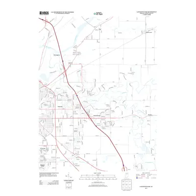 2013 Lafayette East2013 Print · USGSTippecanoe County in the early twenty-first century reveals a landscape where modern suburban growth meets historic rural settlements. Genealogists and local historians can trace the developments of Eastwitch and Meadowbrook or locate the quiet hamlets of Buck Creek and Monitor.
 - 2016 Map of Lafayette East, 2016 Print
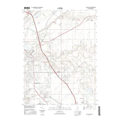 2016 Lafayette East2016 Print · USGSGreater Lafayette is shown during its mid-2010s expansion, stretching from the banks of the Wabash toward the eastern rural plains. Genealogists and local historians can locate several important burial sites, including Springvale Cem and North Union Cem, alongside landmarks like Monitor Springs.
 - 2016 Map of Lafayette West, 2016 Print
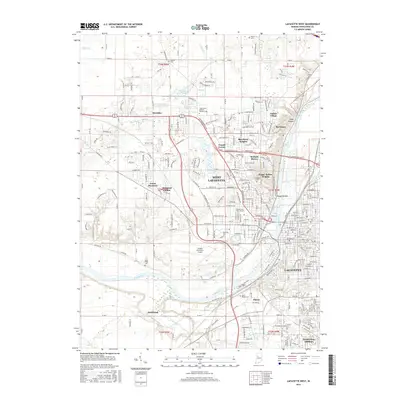 2016 Lafayette West2016 Print · USGSGreater Lafayette and the Purdue University campus are shown here in the mid-2010s, tracing the intersection of academic expansion and riverfront industry. Local researchers can locate family sites at Tippecanoe Memory Gardens Cem and trace the paths of the CSX Transportation and Norfolk Southern railroads.
 - 2019 Map of Lafayette East, 2019 Print
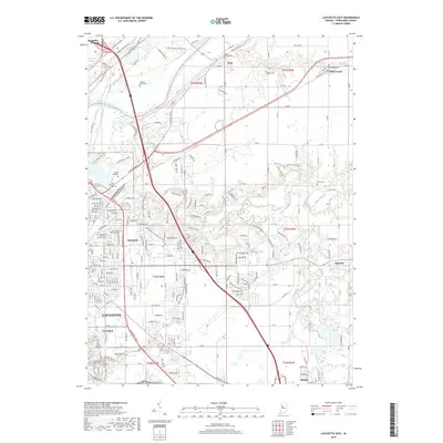 2019 Lafayette East2019 Print · USGSLafayette and its eastern townships are mapped here in the late 2010s, showcasing the expansion of the city into the surrounding river valleys. Researchers can trace family history through numerous burial sites like Spring Vale Cem or locate old community centers in Buck Creek and Monitor.
 - 2019 Map of Lafayette West, 2019 Print
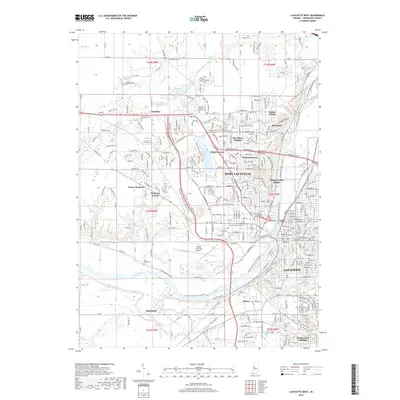 2019 Lafayette West2019 Print · USGSGreater Lafayette and West Lafayette are shown at the end of the 2010s, centered on the busy Wabash River and the sprawling Purdue University Airport. Genealogists and researchers can locate neighborhood landmarks like Happy Hollow Heights or the historical Sand Ridge Cem.
 - 2022 Map of Lafayette West, 2022 Print
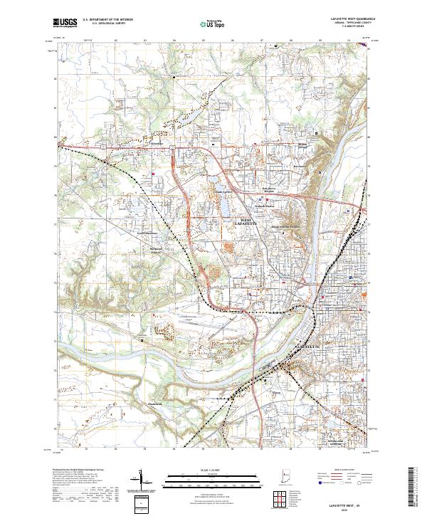 2022 Lafayette West2022 Print · USGSThe twin cities of the Wabash River are captured in the early 2020s, showcasing a landscape defined by collegiate life and regional governance. Local researchers can pinpoint institutions like Purdue University and the Tippecanoe County Courthouse, or trace family sites at Hebron Cem and Elston.
 - 2022 Map of Lafayette East, 2022 Print
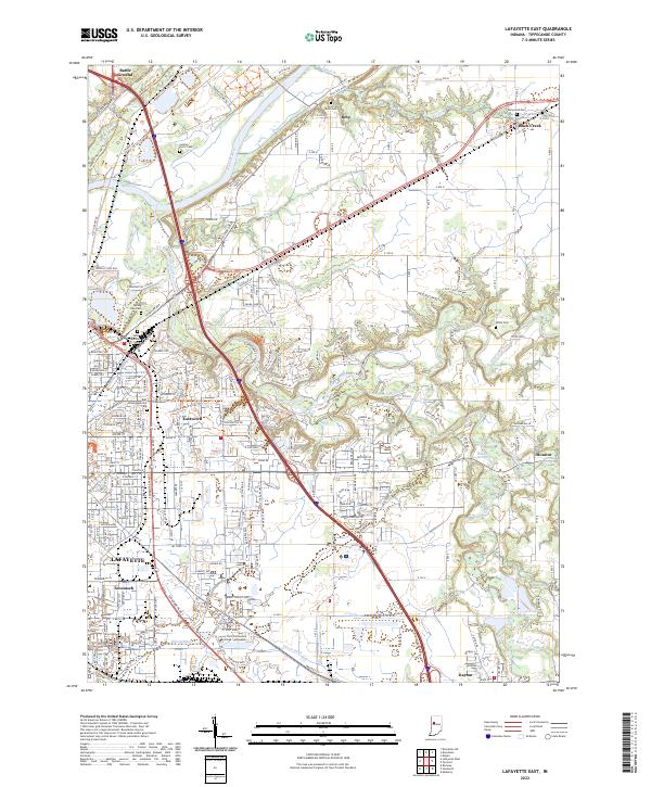 2022 Lafayette East2022 Print · USGSTippecanoe County is documented here in the early 2020s, showing the modern footprint of LAFAYETTE as it expands toward Monitor and Eastwitch. Researchers can trace the placement of local landmarks like Spring Vale Cem and the Ivy Tech Community College.
End of results
Showing maps 1-21 of 21
Frequently asked questions
- What are the different types of historical maps available for Tecumseh?
- What is the oldest map of Tecumseh?
- Where can I purchase historical maps of Tecumseh for my home or office?
- Where can I download high-res historical maps of Tecumseh?
- Are there historical topographic maps available for Tecumseh?
- Is there historical aerial imagery available for Tecumseh?
- Where are historical maps of Tecumseh sourced from?