Old Maps of West College Corner, Indiana for Academic Research
Study the evolution of West College Corner with 12 high-resolution historic maps. Whether you're teaching, researching, or modeling changes in land use, these maps provide essential visual documentation of urban, environmental, and geographic change.
- Analyze long-term change: Track patterns in development, transportation, and natural features.
- Ideal for environmental or urban studies: Support academic projects with primary historical map data.
- Use in the classroom or lab: Educators and researchers rely on these maps to bring historical context to life.
These maps are a powerful tool for teaching, research, and visualizing how West College Corner has changed over the decades.
West College Corner, IN maps
(12)- 1915 Map of College Corner
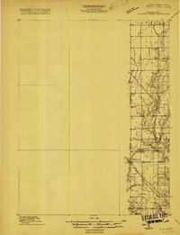 1915 College Corner1915 Print · USGSThe Indiana-Ohio borderlands at the start of the twentieth century are defined here by rail hubs and rural townships. Trace family roots and vanished landmarks near College Corner, Concord Church, and the winding Fourmile Creek.
 - 1918 Map of College Corner
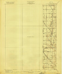 1918 College Corner1918 Print · USGSThe Indiana-Ohio borderlands come into focus during the Great War era, showing the intersection of rail and road commerce. Genealogists and historians can trace the early layout of College Corner, the grounds of Tallawanda Springs, and rural landmarks like School No 3.4 unique versions available
 - 1953 Map of Cincinnati, 1965 Print
 1953 Cincinnati1965 Print · USGSThe Ohio River valley and the industrial heartland of Indiana and Ohio are captured here during the mid-century peak of rail and river commerce. Genealogists and historians can trace connections between Cincinnati and outlying military sites like Camp Atterbury and Bakalar AFB.3 unique versions available
 - 1957 Map of Cincinnati
 1957 Cincinnati1957 Print · USGSThe Ohio River valley and its surrounding highlands thrived during the mid-fifties industrial peak, centered on the bustling Cincinnati and Dayton metropolitan hubs. Researchers can trace the extensive rail networks and military sites like Wright-Patterson AFB and Camp Atterbury.
 - 1960 Map of College Corner, 1961 Print
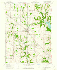 1960 College Corner1961 Print · USGSCollege Corner sits at the crossroads of Indiana and Ohio at the start of the 1960s, a landscape defined by intersecting railroads and state lines. Genealogists can trace family roots through College Corner Cemetery, Hopewell Ch, and the rural settlement of Charlottesville.4 unique versions available
 - 1986 Map of Dayton
 1986 Dayton1986 Print · USGSThe Miami Valley and the Indiana-Ohio borderlands reached a peak of suburban and industrial connectivity in the mid-eighties. Genealogists and historians can trace family burial sites at Miami Memorial Garden (Cem) and the development surrounding Wright-Patterson Air Force Base.2 unique versions available
 - 1992 Map of College Corner, 1995 Print
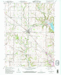 1992 College Corner1995 Print · USGSCollege Corner and the surrounding rural townships of Indiana and Ohio are shown here in the early nineties, centered on the state line. Researchers can trace historic cemeteries such as Keiffer Cem and Crawfords Cem alongside the waters of Acton Lake.
 - 2010 Map of College Corner, 2010 Print
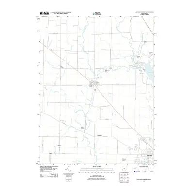 2010 College Corner2010 Print · USGSCovers West College Corner, including Oxford, Bath, and other nearby areas
 - 2013 Map of College Corner, 2013 Print
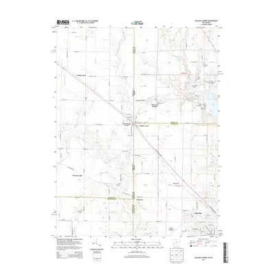 2013 College Corner2013 Print · USGSCovers West College Corner, including Oxford, Bath, and other nearby areas
 - 2016 Map of College Corner, 2016 Print
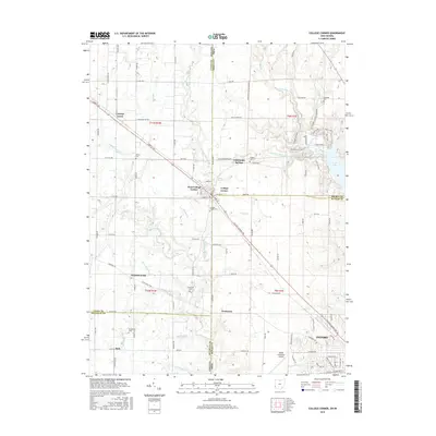 2016 College Corner2016 Print · USGSCovers West College Corner, including Oxford, Bath, and other nearby areas
 - 2019 Map of College Corner, 2019 Print
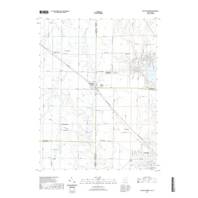 2019 College Corner2019 Print · USGSCovers West College Corner, including Oxford, Bath, and other nearby areas
 - 2023 Map of College Corner, 2023 Print
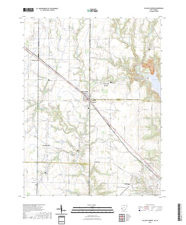 2023 College Corner2023 Print · USGSThe Indiana-Ohio borderlands come into focus in the early 2020s, centered on the unique tri-county junction at College Corner. Researchers can trace local lineages through College Corner Cemetery or explore the wooded trails surrounding Acton Lake.
End of results
Showing maps 1-12 of 12
Top cities near West College Corner
- Hamilton historical maps
- Fairfield historical maps
- Richmond historical maps
- Oxford historical maps
- Eaton historical maps
- Ross Township historical maps
See more
Frequently asked questions
- What are the different types of historical maps available for West College Corner?
- What is the oldest map of West College Corner?
- Where can I purchase historical maps of West College Corner for my home or office?
- Where can I download high-res historical maps of West College Corner?
- Are there historical topographic maps available for West College Corner?
- Is there historical aerial imagery available for West College Corner?
- Where are historical maps of West College Corner sourced from?