2020s Maps of Vermillion County, Indiana
Explore 18 historic maps of Vermillion County from the 2020s. These maps offer a rare glimpse into what life looked like during the 2020s — showing old roads, neighborhoods, homes, and landmarks that have changed or disappeared over time.
Whether you're researching your family's past, planning a metal detecting trip, or studying how Vermillion County's landscape evolved across the 2020s, these high-resolution maps are a powerful tool for exploring the history of this region.
- Focus on a specific era: All maps on this page are from the 2020s, giving you a focused view of this time period.
- See what’s changed: Compare century-old streets, trails, and buildings to today's modern landscape using overlays and satellite layers.
- Research with precision: Use these maps for genealogy, historical research, land use analysis, or educational projects.
- View, download, or print: Maps are fully viewable online in high resolution, and can be downloaded or printed for your own records.
Start exploring Vermillion County's history through authentic maps from the 2020s. This is your window into the past.
Vermillion County, IN maps
(18)- 2021 Map of Scottland, 2021 Print
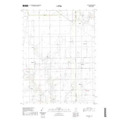 2021 Scottland2021 Print · USGSCovers Vermillion County, including Raven, Scottland, and other nearby areas
 - 2021 Map of Humrick, 2021 Print
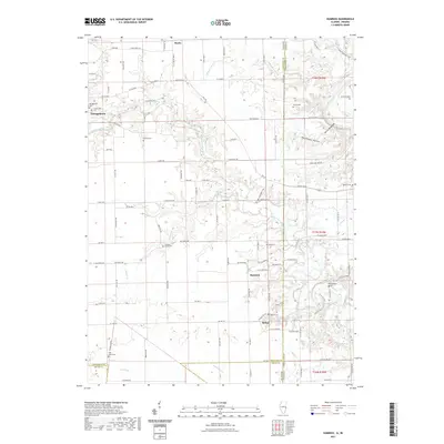 2021 Humrick2021 Print · USGSCovers Vermillion County, including Georgetown, Humrick, and other nearby areas
 - 2021 Map of Danville NE, 2021 Print
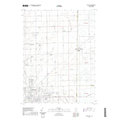 2021 Danville NE2021 Print · USGSCovers Vermillion County, including Danville, Illiana, and other nearby areas
 - 2021 Map of Danville SE, 2021 Print
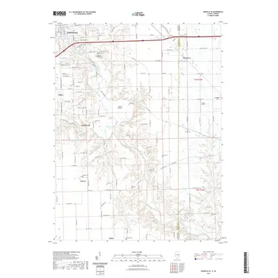 2021 Danville SE2021 Print · USGSCovers Vermillion County, including Danville, Tilton, and other nearby areas
 - 2022 Map of Clinton, 2022 Print
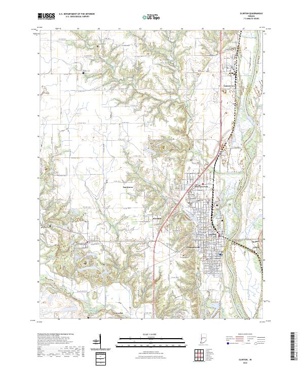 2022 Clinton2022 Print · USGSVermillion County river life is centered here on the west bank of the Wabash River in the early 2020s. Researchers can trace family roots through several local burial grounds like Walnut Grove Cem and Riverside Cem or locate neighborhood origins in Fairview Park and Crompton Hill.
 - 2022 Map of Sandford, 2022 Print
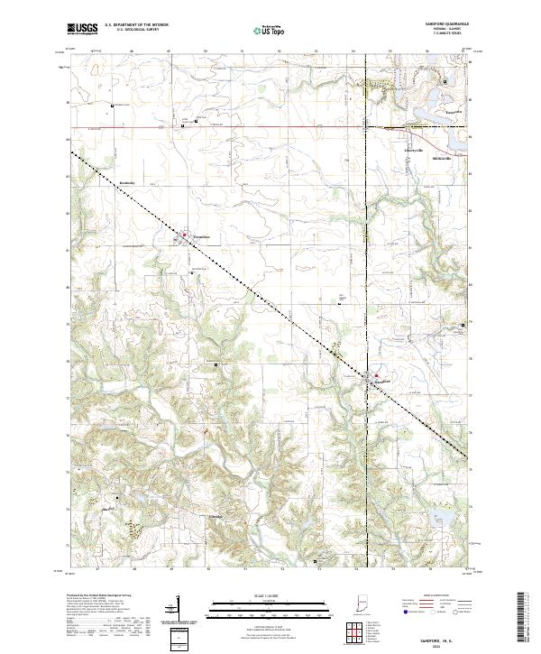 2022 Sandford2022 Print · USGSThe Illinois-Indiana borderlands are captured here in the early twenty-first century, showing a landscape of rural communities and historic cemeteries. Researchers can locate family burial plots at Vermilion Cem or Guymon Cem and trace the paths of Sugar Cr and Little Sugar Cr.
 - 2022 Map of Kingman, 2022 Print
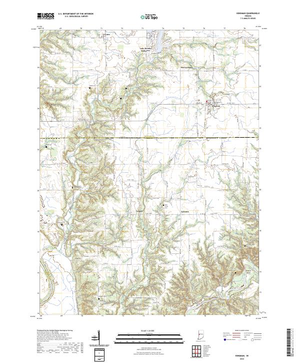 2022 Kingman2022 Print · USGSThe borderlands of Fountain and Parke County appear here in the early 2020s, showing a landscape defined by small farming towns and winding creeks. Genealogists can trace family lines through numerous sites like Bethel Cem, Harvey Cem, and the village of Tangier.
 - 2022 Map of Newport, 2022 Print
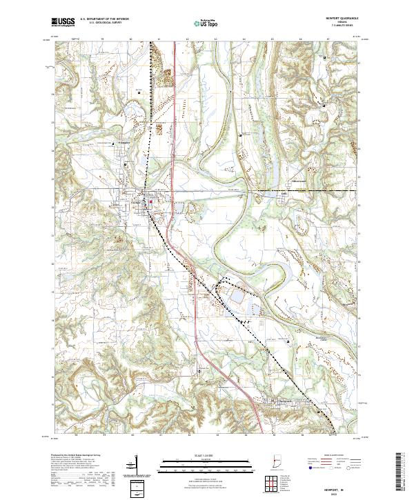 2022 Newport2022 Print · USGSVermillion County, Indiana, sits at the confluence of the Wabash and Little Vermilion rivers in the early 2020s. Researchers can trace family history through numerous local sites like Isle Cem, Thomas Cem, and the Vermillion County Courthouse.
 - 2022 Map of Covington, 2022 Print
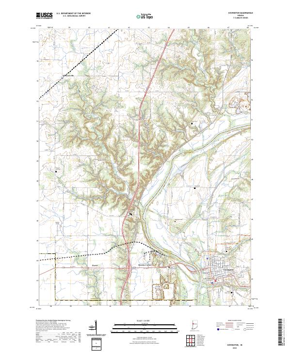 2022 Covington2022 Print · USGSIndiana’s western border country comes into view in this detailed survey, centered on the riverfront town of Covington. Trace the legacy of the Wabash and Erie Canal and locate family history at Upper Mound Cem or the courthouse square.
 - 2022 Map of Saint Bernice, 2022 Print
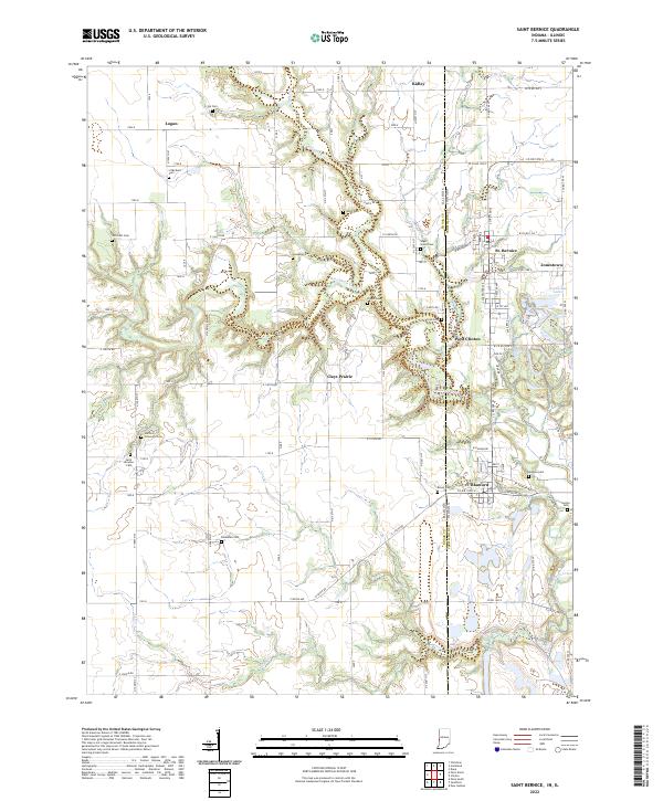 2022 Saint Bernice2022 Print · USGSThe Indiana-Illinois state line comes alive in this survey of Vermillion County, where small communities like St. Bernice and Blanford sit amidst the winding Brouilletts Creek. Genealogists can locate numerous burial sites including Sugar Grove Cem and Old Scott Cem.
 - 2022 Map of Montezuma, 2022 Print
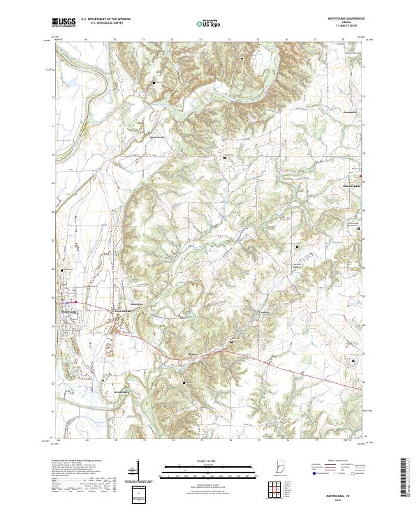 2022 Montezuma2022 Print · USGSParke County's riverfront and upland farms are captured here in the early twenty-first century, showing the enduring rural layout of the Wabash valley. Genealogists and historians can locate numerous family burial sites like Causey Cem and Watts Cem near settlements such as West Union and Coloma.
 - 2022 Map of New Goshen, 2022 Print
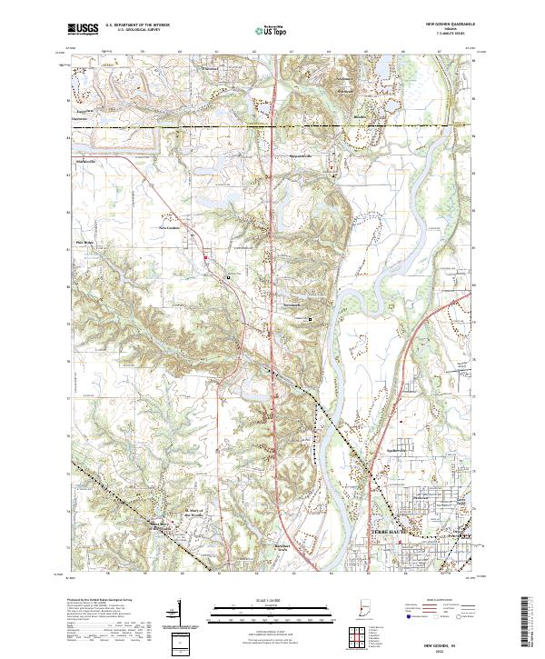 2022 New Goshen2022 Print · USGSThe Wabash River valley north of Terre Haute is shown here in the early 2020s, revealing a landscape shaped by coal mining and higher education. Researchers can trace the Wabash and Erie Canal or locate historic sites like Saint Mary-of-the-Woods College and Sky King Airport.
 - 2022 Map of Perrysville, 2022 Print
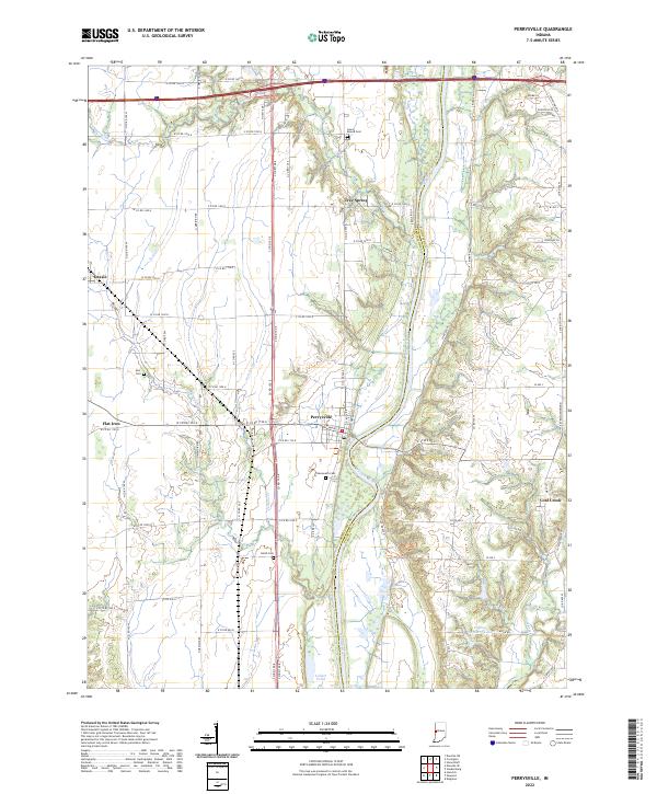 2022 Perrysville2022 Print · USGSThe Wabash River valley in the early 2020s reveals a structured landscape of river towns and family-named landmarks. Researchers can trace the rural layout of Perrysville, locate burial sites like Chenoweth Cem, and explore the banks of Coal Creek.
 - 2022 Map of Dana, 2022 Print
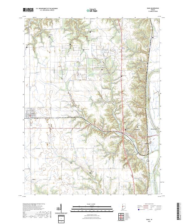 2022 Dana2022 Print · USGSWestern Indiana farmland and river bottoms are captured here in the early twenty-first century as they meet the Wabash River. Researchers can locate numerous local burial grounds such as Walnut Hill Cem and Highfill Cem near the towns of Dana and Hillsdale.
 - 2024 Map of Scottland, 2024 Print
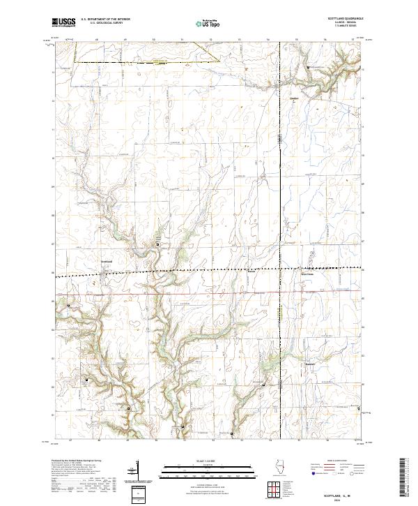 2024 Scottland2024 Print · USGSThe Illinois-Indiana borderlands are captured here in the early twenty-first century, showing a landscape defined by generational farms and quiet crossroads. Researchers can trace family ties at Old Hopewell Cem or locate the rural hubs of Scottland and West Dana.
 - 2024 Map of Danville NE, 2024 Print
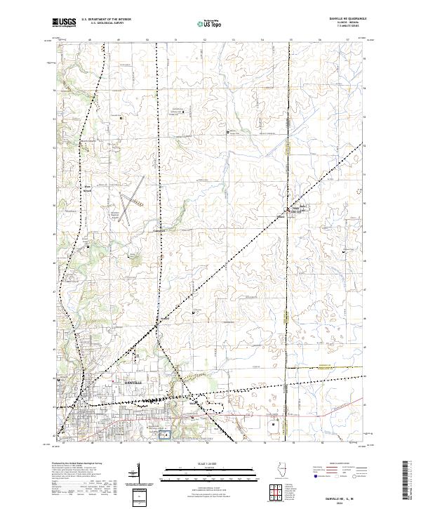 2024 Danville NE2024 Print · USGSDanville and the Illinois-Indiana borderlands are captured here in the twenty-first century, showing the meeting of town and country. Genealogists and historians can trace numerous rural burial grounds like Brierly Cem and Lynch Cem, or explore the historic border settlements of Illiana and State Line City.
 - 2024 Map of Danville SE, 2024 Print
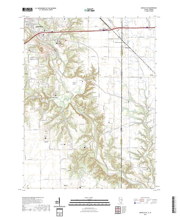 2024 Danville SE2024 Print · USGSSoutheast of Danville and along the Indiana state line, this recent survey traces the deep valley of the Vermilion River and its rural townships. Researchers can locate numerous historical burial sites like Sandusky Cem and McKendree Cem or follow the rail corridor of CSX TRANSPORTATION.
 - 2024 Map of Humrick, 2024 Print
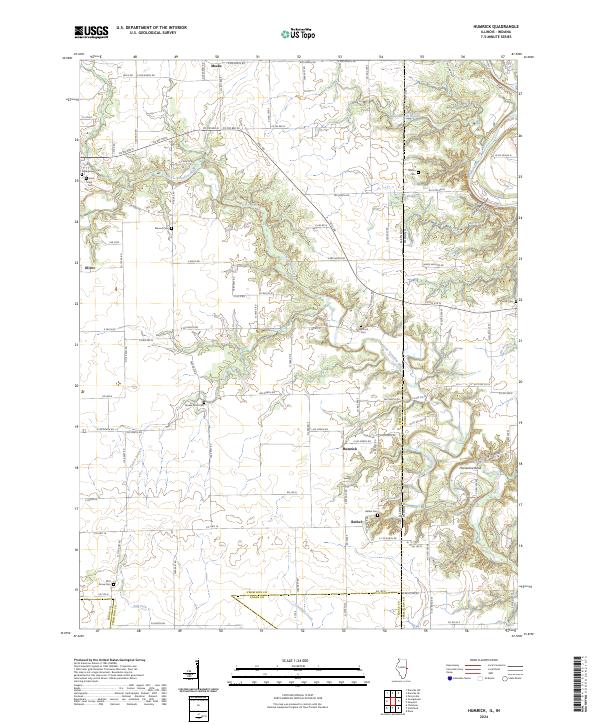 2024 Humrick2024 Print · USGSThe Illinois-Indiana borderlands south of Georgetown come into focus in this contemporary survey of the Vermilion County countryside. Genealogists and local historians can locate several rural burial grounds, including Yankee Point Cemetery, Pilot Grove Cemetery, and the riverfront Whitlock Cemetery.
End of results
Showing maps 1-18 of 18
Top cities of Vermillion County
- Clinton historical maps
- Eugene historical maps
- Highland historical maps
- Fairview Park historical maps
- Cayuga historical maps
- Dana historical maps
See more
Frequently asked questions
- What are the different types of historical maps available for Vermillion County?
- What is the oldest map of Vermillion County?
- Where can I purchase historical maps of Vermillion County for my home or office?
- Where can I download high-res historical maps of Vermillion County?
- Are there historical topographic maps available for Vermillion County?
- Is there historical aerial imagery available for Vermillion County?
- Where are historical maps of Vermillion County sourced from?