Old Maps of Lagro, Indiana for Metal Detecting
Plan your next treasure hunt with 11 historic maps of Lagro. Find old homesites, ghost towns, trails, and gathering spots that may be lost to time — perfect for identifying promising metal detecting locations.
- Locate forgotten sites: Uncover places like long-lost settlements, abandoned rail lines, or gathering spots.
- Plan better hunts: Use map overlays combined with LiDAR or satellite views to narrow in on historically rich areas.
- Made for detectorists: Thousands of hobbyists use these maps to discover relics, coins, and hidden history.
Use these historic maps to boost your research and find new opportunities beneath the surface of Lagro.
Lagro, IN maps
(11)- 1950 Map of Lagro, 1958 Print
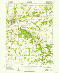 1950 Lagro1958 Print · USGSThe Wabash and Salamonie rivers meet in this 1950s Indiana survey, capturing the region's rail-and-river geography before later developments. Genealogists can trace family sites at Leedy Cem, Dora, and the rural Mt Hope Ch.
 - 1951 Map of Lagro
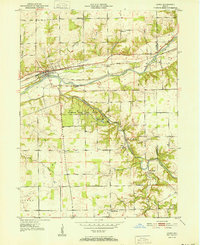 1951 Lagro1951 Print · USGSWabash and Huntington counties are shown at a mid-century crossroads where the Wabash River and Salamonie River meet. Genealogists can trace family names at Leedy Cem or locate the rural crossroads of Dora and Lincolnville.2 unique versions available
 - 1953 Map of Muncie, 1966 Print
 1953 Muncie1966 Print · USGSIndiana and Ohio borderlands thrive in the early fifties, showing a landscape defined by manufacturing cities and an intensive railroad network. Genealogists can trace family roots across the Indiana-Ohio line through Muncie, Celina, and Portland via the Pennsylvania railroad.5 unique versions available
 - 1956 Map of Muncie
 1956 Muncie1956 Print · USGSEastern Indiana and western Ohio are shown at a peak of rail-driven industry in the mid-fifties. Genealogists and rail historians can trace the paths of the Pennsylvania RR through Muncie or locate landmarks like Lake Saint Marys (Grand Lake Reservoir) and Frances Slocum State Forest.
 - 1969 Map of Lagro, 1971 Print
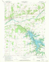 1969 Lagro1971 Print · USGSWabash and Huntington counties meet here in the late sixties, where the rising waters of the Salamonie Reservoir reshape the valley. Genealogists can locate family landmarks like St Patricks Cem, Hopewell Ch, and the settlement of Lincolnville.3 unique versions available
 - 1986 Map of Wabash
 1986 Wabash1986 Print · USGSThe Wabash Valley and surrounding Indiana farm country are captured here in the mid-eighties, showing a landscape reshaped by major reservoirs. Genealogists and local historians can trace the paths of the Old Indian Trail and the industrial reach of the Conrail line through towns like Lagro and Warren.2 unique versions available
 - 2010 Map of Lagro, 2010 Print
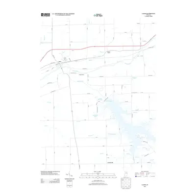
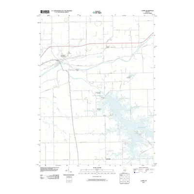 2010 Lagro2010 Print · USGSCovers Lagro, including Lincolnville, Huntington County, and other nearby areas
 - 2013 Map of Lagro, 2013 Print
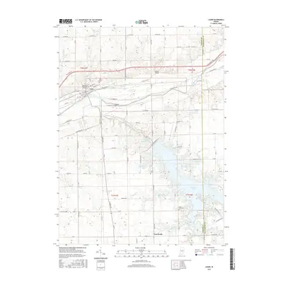
 2013 Lagro2013 Print · USGSCovers Lagro, including Lincolnville, Huntington County, and other nearby areas
 - 2016 Map of Lagro, 2016 Print
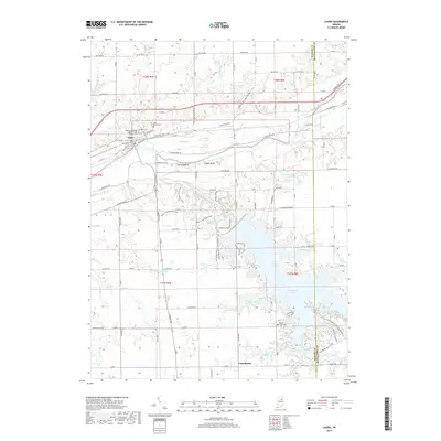
 2016 Lagro2016 Print · USGSCovers Lagro, including Lincolnville, Huntington County, and other nearby areas
 - 2019 Map of Lagro, 2019 Print
 2019 Lagro2019 Print · USGSCovers Lagro, including Lincolnville, Huntington County, and other nearby areas
 - 2022 Map of Lagro, 2022 Print
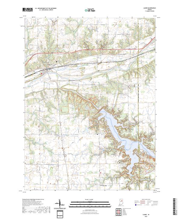 2022 Lagro2022 Print · USGSWabash County's river-bottom lands and the Salamonie reservoir are documented here in the early twenty-first century. Genealogists can locate family sites at the Lagro Independent Order of Odd Fellows Cemetery, Leedy Cem, and the historic settlement of Lincolnville.
End of results
Showing maps 1-11 of 11
Top cities near Lagro
- Huntington historical maps
- Wabash historical maps
- North Manchester historical maps
- Lancaster historical maps
- Andrews historical maps
- Van Buren historical maps
See more
Frequently asked questions
- What are the different types of historical maps available for Lagro?
- What is the oldest map of Lagro?
- Where can I purchase historical maps of Lagro for my home or office?
- Where can I download high-res historical maps of Lagro?
- Are there historical topographic maps available for Lagro?
- Is there historical aerial imagery available for Lagro?
- Where are historical maps of Lagro sourced from?