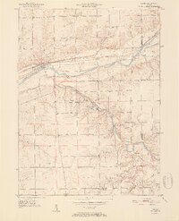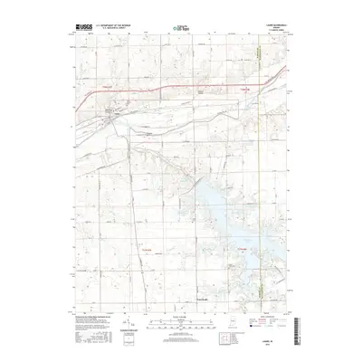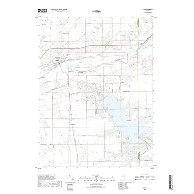
1950 Map of Lagro
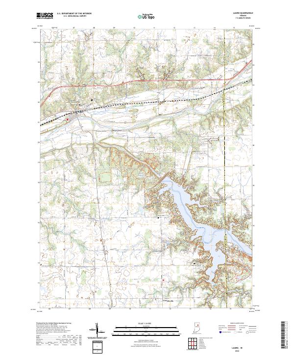
USGS Topo · Published 1958About this map
Lagro sits at the confluence of the Wabash River and Lagro Creek, serving as a focal point for this mid-century look at the Indiana landscape. The area is defined by the significant waterways of the Salamonie River and the Wabash railroad corridor, which track the river valleys through the central part of the county. High ground is marked by landmarks such as Hanging Rock and Hominy Ridge, providing a contrast to the river bottomlands. Extensive forestation is captured within the Salamonie River State Forest, which surrounds Hominy Ridge Lake. Rural life in the 1950s is documented through numerous country churches like Hopewell Ch and Bethel Ch, alongside small aviation sites like the Lincoln Airport. The map also preserves the locations of several small communities and hamlets, including Dora, New Holland, and Lincolnville, many of which were centers of local activity before modern regional shifts.
Find a feature on this map
26 named features on this map. Tap any name to fly to it.
Don’t see what you’re looking for? This feature index may not catch every label — zoom into the map to look around manually.
Map Details
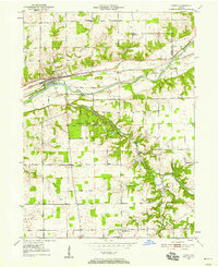
Editions of this 1950 Lagro Map
This is the sole edition of this map. No revisions or reprints were ever made.
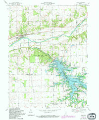
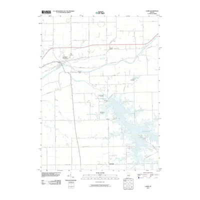
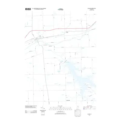
Historical Maps of Lagro Through Time
8 maps found