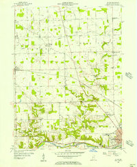
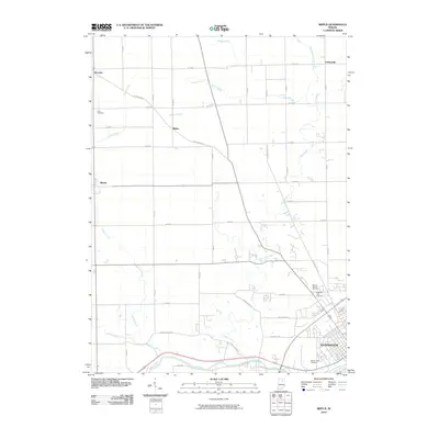
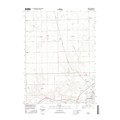
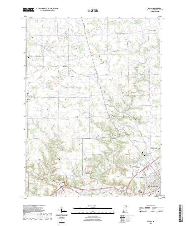
1955 Map of Bippus
USGS Topo · Published 1957About this map
The Wabash River and Little Wabash River converge in the southeastern corner of this mid-century Huntington County landscape, just as the city of Huntington begins to expand westward. The southern portion of the map is defined by the sharp relief of river bluffs and the industrial presence of the Erie RR, while the north transitions into a meticulously gridded agricultural zone. Here, the rural community structure of the 1950s is highly visible through a dense network of landmarks like the St Felix Monastery, Victory Training Institute, and numerous country parishes including Beech Grove Ch and Clear Creek Ch. Family and local history are anchored by several burial grounds such as Mt Calvary Cemetery and the Quaker Cemetery. Small, dispersed settlements like Bippus, Bracken, and Goblesville serve as local hubs, connected by a series of named drainage channels like Jackson Ditch and Verdrick Ditch that highlight the area's managed water table.
Find a feature on this map
38 named features on this map. Tap any name to fly to it.
Don’t see what you’re looking for? This feature index may not catch every label — zoom into the map to look around manually.
Map Details
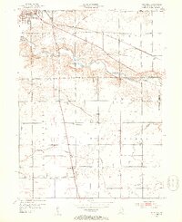
Editions of this 1955 Bippus Map
This is the sole edition of this map. No revisions or reprints were ever made.
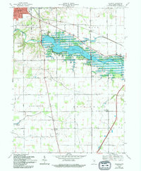
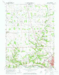
Historical Maps of Huntington Through Time
14 maps found
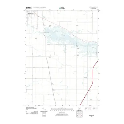
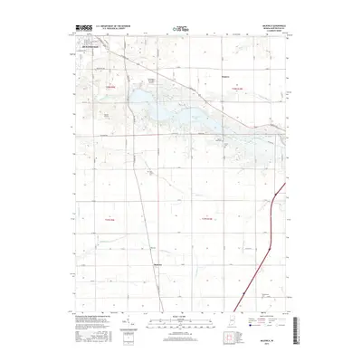
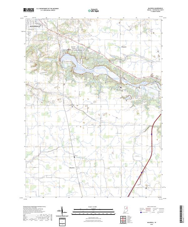
1952 Majenica
Huntington County, IN
1955 Bippus
Huntington County, IN
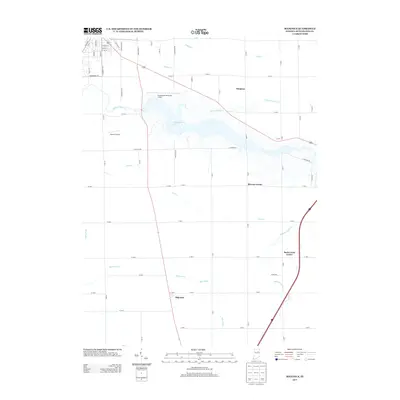
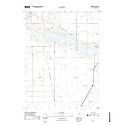
1969 Majenica
Huntington County, IN
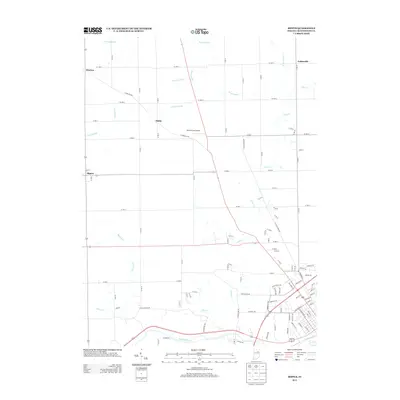
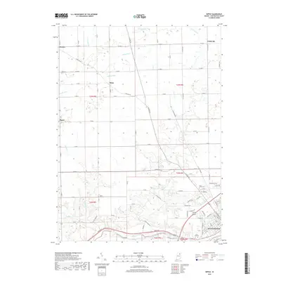
1972 Bippus
Huntington County, IN
2010 Bippus
Huntington County, IN
2010 Majenica
Huntington County, IN
2013 Bippus
Huntington County, IN
2013 Majenica
Huntington County, IN
2016 Bippus
Huntington County, IN
2016 Majenica
Huntington County, IN
2019 Bippus
Huntington County, IN
2019 Majenica
Huntington County, IN
2022 Bippus
Huntington County, IN
2022 Majenica
Huntington County, IN