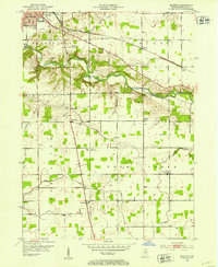
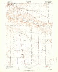
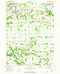
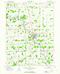
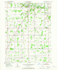
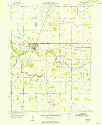
1952 Map of Majenica
USGS Topo · Published 1953About this map
The Wabash River carves a winding path across this portion of Huntington County, defining the local geography as it flows past the southern edge of Huntington. This 1952 survey details a landscape where agriculture and emerging infrastructure meet, featuring the Huntington Municipal Airport and Huntington Waterworks. The transportation network is dominated by the Erie RR and a grid of rural roads connecting small community hubs like Majenica and Rock Creek Center. For those researching local heritage, the map identifies several significant landmarks including the County Infirmary and numerous family or community burial grounds such as Loon Creek Cem, Rees Cem, and Yankeetown Cem. Small-scale industrial activity is also evident through the presence of several Oil Wells scattered near the river valley.
Find a feature on this map
23 named features on this map. Tap any name to fly to it.
Don’t see what you’re looking for? This feature index may not catch every label — zoom into the map to look around manually.
Map Details
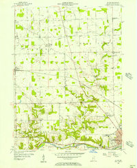
Editions of this 1952 Majenica Map
2 editions found
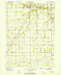
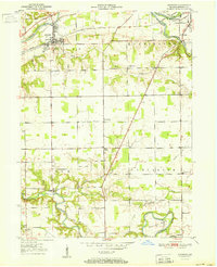
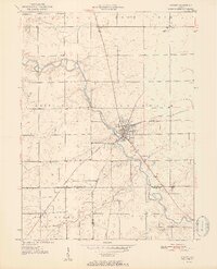
Other maps of this area
1950 · Andrews
USGS Topo · 1:24,000
1950 · Warren
USGS Topo · 1:24,000
1950 · Mount Etna
USGS Topo · 1:24,000
1951 · Mount Etna
USGS Topo · 1:24,000
1951 · Andrews
USGS Topo · 1:24,000
1952 · Warren
USGS Topo · 1:24,000

1953 · Muncie
USGS Topo · 1:250,000
1955 · Markle
USGS Topo · 1:24,000
1955 · Bippus
USGS Topo · 1:24,000

1956 · Muncie
USGS Topo · 1:250,000