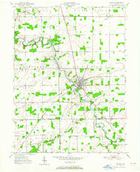
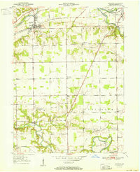
1950 Map of Warren
USGS Topo · Published 1965About this map
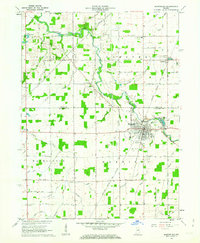
The Salamonie River winds diagonally through this mid-century landscape, acting as the primary geographical anchor for the town of Warren. This settlement serves as a local hub, where the New York Chicago and St Louis railroad intersects the river, marking a point of industrial and transit importance. Notable landmarks such as the Water Methodist Home stand near the town center, while smaller outlying settlements like Plum Tree and Milo illustrate the dispersed agricultural character of the region.
Find a feature on this map
22 named features on this map. Tap any name to fly to it.
Don’t see what you’re looking for? This feature index may not catch every label — zoom into the map to look around manually.
Map Details
Editions of this 1950 Warren Map
This is the sole edition of this map. No revisions or reprints were ever made.
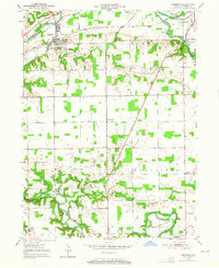
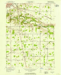
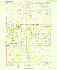
Other maps of this area
1950 · Andrews
USGS Topo · 1:24,000
1950 · Mount Etna
USGS Topo · 1:24,000
1951 · Mount Etna
USGS Topo · 1:24,000
1951 · Andrews
USGS Topo · 1:24,000
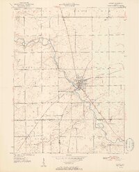
1952 · Warren
USGS Topo · 1:24,000
1952 · Majenica
USGS Topo · 1:24,000

1953 · Muncie
USGS Topo · 1:250,000
1955 · Markle
USGS Topo · 1:24,000

1956 · Muncie
USGS Topo · 1:250,000
1962 · Montpelier
USGS Topo · 1:24,000