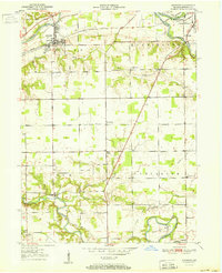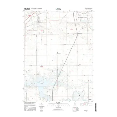
1950 Map of Andrews
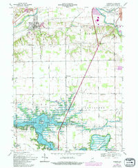
USGS Topo · Published 1965About this map
The Wabash RR cuts across the northern Indiana landscape of Huntington County, anchoring the settlement of Andrews just south of the Wabash River. This 1950 survey highlights a rural topography defined by the winding paths of Loon Creek, Majenica Creek, and the Salamonie River to the south. The distribution of Pleasant Grove Ch, Pilcher Chapel, and Jennings Chapel indicates a well-established network of country parishes serving the townships of Dallas, Huntington, Polk, and Lancaster.
Find a feature on this map
21 named features on this map. Tap any name to fly to it.
Don’t see what you’re looking for? This feature index may not catch every label — zoom into the map to look around manually.
Map Details
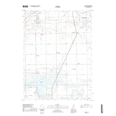
Editions of this 1950 Andrews Map
This is the sole edition of this map. No revisions or reprints were ever made.
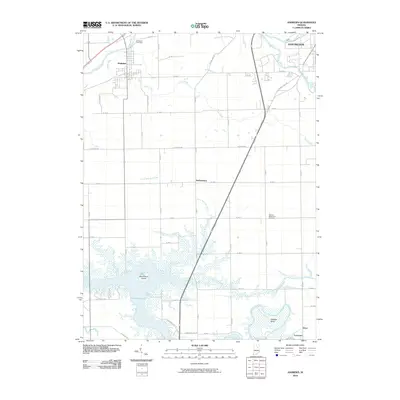
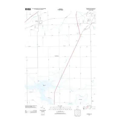
Historical Maps of Huntington Through Time
8 maps found