Old Maps of Chandler, Indiana for Metal Detecting
Plan your next treasure hunt with 18 historic maps of Chandler. Find old homesites, ghost towns, trails, and gathering spots that may be lost to time — perfect for identifying promising metal detecting locations.
- Locate forgotten sites: Uncover places like long-lost settlements, abandoned rail lines, or gathering spots.
- Plan better hunts: Use map overlays combined with LiDAR or satellite views to narrow in on historically rich areas.
- Made for detectorists: Thousands of hobbyists use these maps to discover relics, coins, and hidden history.
Use these historic maps to boost your research and find new opportunities beneath the surface of Chandler.
Chandler, IN maps
(18)- 1902 Map of Ditney
 1902 Ditney1902 Print · USGSSouthern Indiana at the start of the century was a landscape of expanding railroads and rural hamlets. Family historians can trace ancestral roots through dozens of small settlements like Coats Springs, Dongola, and Boonville along the Southern RR.3 unique versions available
 - 1902 Map of Boonville
 1902 Boonville1902 Print · USGSWarrick and Gibson Counties at the opening of the twentieth century reveal a landscape of evolving transport and established rural life. Trace the path of the Wabash and Erie Canal or locate family roots in Boonville, Millersburg, and Lynnville.4 unique versions available
 - 1956 Map of Vincennes, 1967 Print
 1956 Vincennes1967 Print · USGSSouthern Indiana and the Illinois borderlands are captured here in the mid-fifties, showing the region's dense network of river towns and rail lines. Researchers can trace historic river crossings along the Wabash River or locate landmarks like Wyandotte Cave and Lincoln State Park.4 unique versions available
 - 1957 Map of Vincennes
 1957 Vincennes1957 Print · USGSSouthwest Indiana and the Illinois borderlands come alive in the late 1950s, a period of heavy rail traffic and expanding state forests. Genealogists and historians can trace the riverfronts and rail lines of Vincennes, New Harmony, and the vast Crane Naval Ammunition Depot.
 - 1958 Map of Vincennes
 1958 Vincennes1958 Print · USGSSouthern Indiana and the Illinois borderlands are captured during a mid-century period of heavy rail traffic and military activity. Researchers can trace the sprawling bounds of the Crane Naval Ammunition Depot or locate historic settlements like New Harmony and French Lick.2 unique versions available
 - 1961 Map of Boonville, 1963 Print
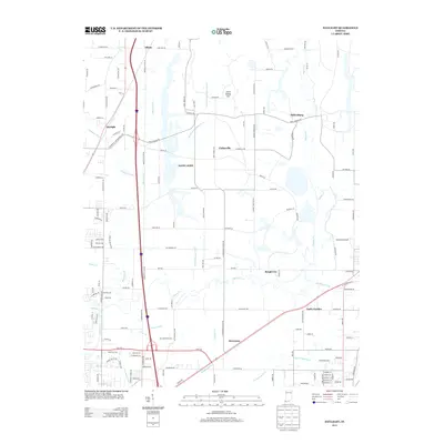
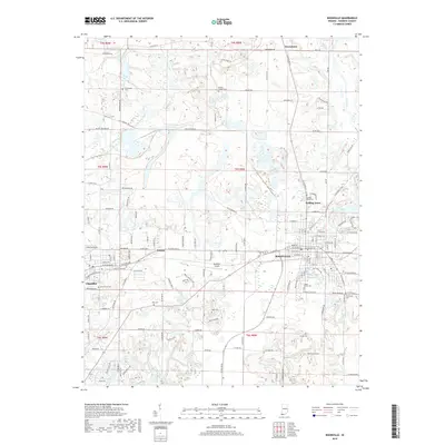
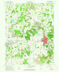 1961 Boonville1963 Print · USGSWarrick County during the early sixties reveals a landscape of industrial strip mining and established small-town centers. Genealogists and local historians can trace the foundations of Boonville and Chandler alongside landmarks like St Clements Sch and Maple Grove Cem.3 unique versions available
 - 1961 Map of Daylight, 1963 Print
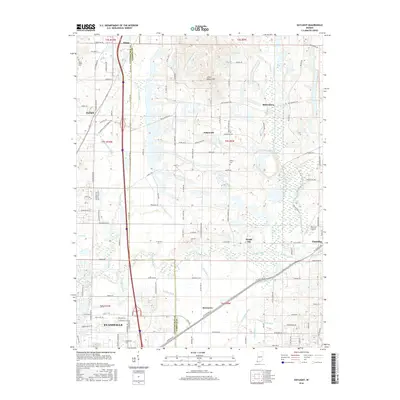
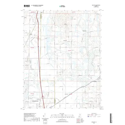
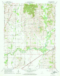 1961 Daylight1963 Print · USGSWarrick and Vanderburgh counties are shown in the early sixties as rural life centered on the rail corridors of the New York Central. Researchers can trace the legacy of the Wabash and Erie Canal or locate local landmarks like Daylight Sch and Blue Grass Cem.4 unique versions available
 - 1986 Map of Princeton
 1986 Princeton1986 Print · USGSSouthwestern Indiana is defined by the confluence of the Wabash and White Rivers during the mid-eighties, a period of established rail lines and expanding interstates. Genealogists and historians can trace property locations across numerous townships or locate family sites in Mount Carmel, Poseyville, and Boonville.2 unique versions available
 - 2010 Map of Daylight, 2010 Print
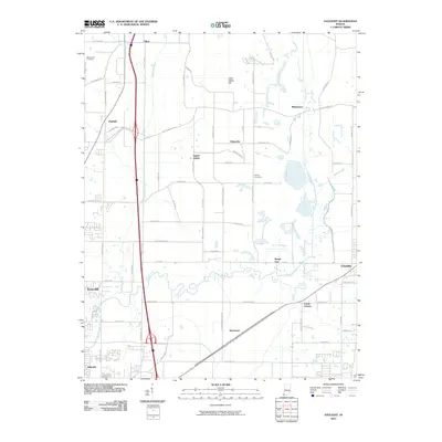 2010 Daylight2010 Print · USGSCovers Chandler, including Evansville, Elliott, and other nearby areas
 - 2010 Map of Boonville, 2010 Print
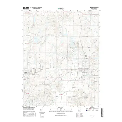
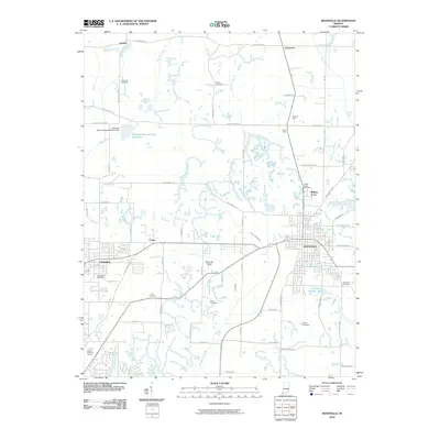 2010 Boonville2010 Print · USGSCovers Chandler, including Boonville, Rolling Acres, and other nearby areas
 - 2013 Map of Daylight, 2013 Print
 2013 Daylight2013 Print · USGSCovers Chandler, including Evansville, Elliott, and other nearby areas
 - 2013 Map of Boonville, 2013 Print
 2013 Boonville2013 Print · USGSCovers Chandler, including Boonville, Rolling Acres, and other nearby areas
 - 2016 Map of Boonville, 2016 Print
 2016 Boonville2016 Print · USGSCovers Chandler, including Boonville, Rolling Acres, and other nearby areas
 - 2016 Map of Daylight, 2016 Print
 2016 Daylight2016 Print · USGSCovers Chandler, including Evansville, Elliott, and other nearby areas
 - 2019 Map of Boonville, 2019 Print
 2019 Boonville2019 Print · USGSCovers Chandler, including Boonville, Rolling Acres, and other nearby areas
 - 2019 Map of Daylight, 2019 Print
 2019 Daylight2019 Print · USGSCovers Chandler, including Evansville, Elliott, and other nearby areas
 - 2023 Map of Boonville, 2023 Print
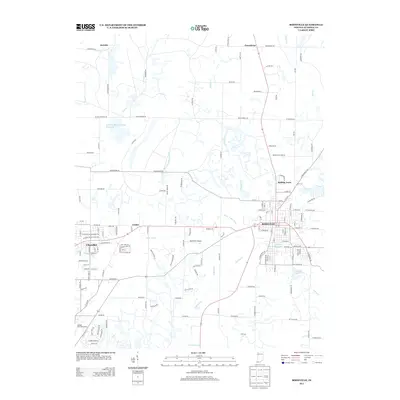
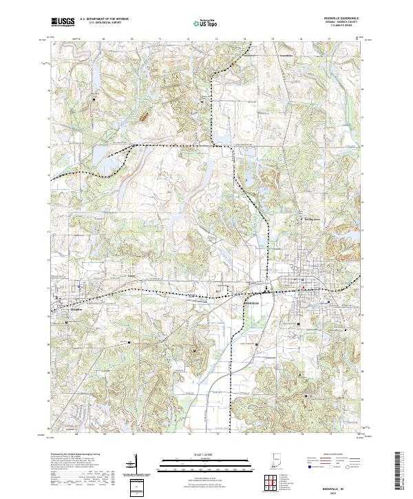 2023 Boonville2023 Print · USGSBoonville and the surrounding Warrick County countryside appear here in a detailed contemporary survey. Researchers can trace numerous family burial grounds including Crossroads Cem, explore the town of Chandler, and locate landmarks like City Lake Number One.
 - 2023 Map of Daylight, 2023 Print
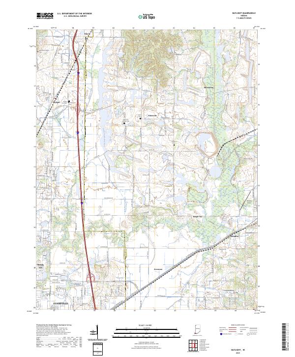 2023 Daylight2023 Print · USGSSouthwestern Indiana's rural landscape is captured here just north of Evansville, where agriculture and small settlements meet a complex network of drainage ditches. Researchers can trace family history at Blue Grass Church Cem, Zoar Cem, and Asbury Cem, or locate the historic sites of Daylight and Fisherville.
End of results
Showing maps 1-18 of 18
Top cities near Chandler
- Evansville historical maps
- Henderson historical maps
- Boonville historical maps
- Newburgh historical maps
- Fort Branch historical maps
- Haubstadt historical maps
See more
Top neighborhoods of Chandler
Frequently asked questions
- What are the different types of historical maps available for Chandler?
- What is the oldest map of Chandler?
- Where can I purchase historical maps of Chandler for my home or office?
- Where can I download high-res historical maps of Chandler?
- Are there historical topographic maps available for Chandler?
- Is there historical aerial imagery available for Chandler?
- Where are historical maps of Chandler sourced from?