Old Maps of East Haven, Richmond for Genealogy
Trace your family roots with 11 historic maps of East Haven. These high-res maps reveal old neighborhoods, homesites, landmarks, and streets — helping you uncover where your ancestors lived and how the area evolved over time.
- Explore historic neighborhoods: Identify where your relatives may have lived in the 1800s or 1900s.
- Compare maps over time: Trace the changes in streets, buildings, and landmarks for multi-generational research.
- Perfect for genealogy & ancestry research: Used by family historians and researchers to map out lineage and migration.
These maps are an incredible resource for exploring your personal connection to East Haven's past.
East Haven, Richmond maps
(11)- 1915 Map of New Paris
 1915 New Paris1915 Print · USGSThe Indiana-Ohio borderlands at the onset of the Great War reveal a landscape of thriving rail hubs and pioneer roads. Genealogists and researchers can trace the early layouts of Hollansburg, Campbellstown, and Sunbeam, or follow the path of the historic National Road.
 - 1918 Map of New Paris, 1922 Print
 1918 New Paris1922 Print · USGSThe Indiana-Ohio border during the First World War reveals a landscape defined by pioneering electric railways and historic transit corridors. Genealogists and historians can trace the growth of New Paris and Hollansburg, or locate small communities like Sunbeam and Cedar Springs.
 - 1953 Map of Cincinnati, 1965 Print
 1953 Cincinnati1965 Print · USGSThe Ohio River valley and the industrial heartland of Indiana and Ohio are captured here during the mid-century peak of rail and river commerce. Genealogists and historians can trace connections between Cincinnati and outlying military sites like Camp Atterbury and Bakalar AFB.3 unique versions available
 - 1957 Map of Cincinnati
 1957 Cincinnati1957 Print · USGSThe Ohio River valley and its surrounding highlands thrived during the mid-fifties industrial peak, centered on the bustling Cincinnati and Dayton metropolitan hubs. Researchers can trace the extensive rail networks and military sites like Wright-Patterson AFB and Camp Atterbury.
 - 1960 Map of Richmond, 1961 Print
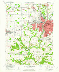 1960 Richmond1961 Print · USGSRichmond and Centerville are captured at a point of mid-century growth when rail lines still defined the local economy. Researchers can trace the grounds of Earlham College, find family plots at Earlham Cemetery, and locate vanished neighborhood landmarks like Sevastopol Sch.2 unique versions available
 - 1986 Map of Dayton
 1986 Dayton1986 Print · USGSThe Miami Valley and the Indiana-Ohio borderlands reached a peak of suburban and industrial connectivity in the mid-eighties. Genealogists and historians can trace family burial sites at Miami Memorial Garden (Cem) and the development surrounding Wright-Patterson Air Force Base.2 unique versions available
 - 2010 Map of Richmond, 2010 Print
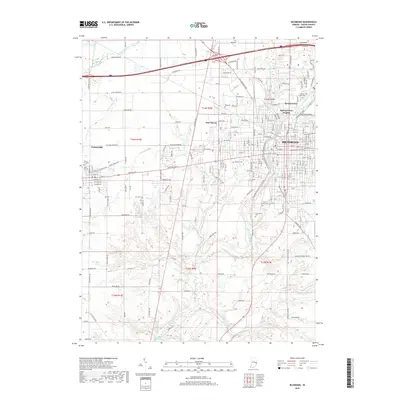
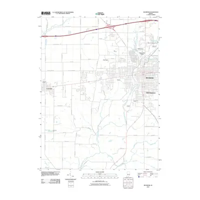 2010 Richmond2010 Print · USGSCovers East Haven, including Richmond, Centerville, and other nearby areas
 - 2013 Map of Richmond, 2013 Print
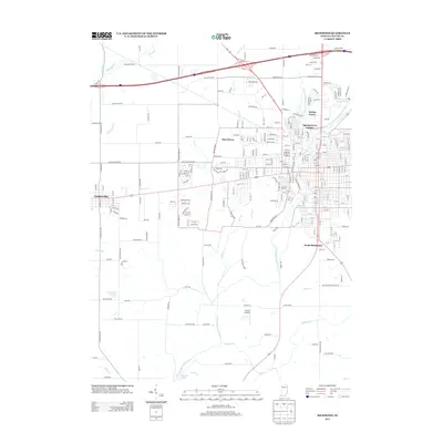 2013 Richmond2013 Print · USGSCovers East Haven, including Richmond, Centerville, and other nearby areas
 - 2016 Map of Richmond, 2016 Print
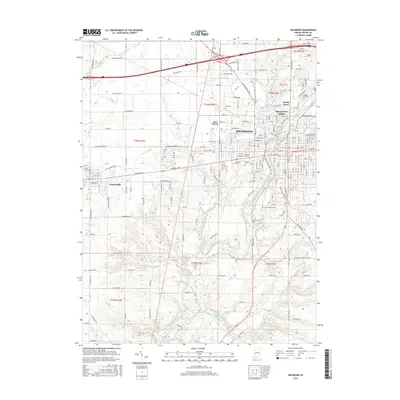 2016 Richmond2016 Print · USGSCovers East Haven, including Richmond, Centerville, and other nearby areas
 - 2019 Map of Richmond, 2019 Print
 2019 Richmond2019 Print · USGSCovers East Haven, including Richmond, Centerville, and other nearby areas
 - 2022 Map of Richmond, 2022 Print
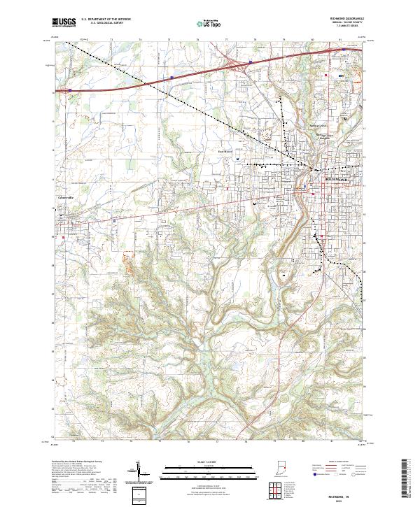 2022 Richmond2022 Print · USGSRichmond and Centerville appear here in the early 2020s, showcasing a landscape of established collegiate campuses and historic county seats. Genealogists can locate family sites near Old Centerville Cem, King Cem, and the Wayne County Courthouse.
End of results
Showing maps 1-11 of 11
Top cities near East Haven
- Richmond historical maps
- Connersville historical maps
- Centerville historical maps
- Liberty historical maps
- Cambridge City historical maps
- Hagerstown historical maps
See more
Frequently asked questions
- What are the different types of historical maps available for East Haven?
- What is the oldest map of East Haven?
- Where can I purchase historical maps of East Haven for my home or office?
- Where can I download high-res historical maps of East Haven?
- Are there historical topographic maps available for East Haven?
- Is there historical aerial imagery available for East Haven?
- Where are historical maps of East Haven sourced from?