Old Maps of Ossian, Indiana for Genealogy
Trace your family roots with 15 historic maps of Ossian. These high-res maps reveal old neighborhoods, homesites, landmarks, and streets — helping you uncover where your ancestors lived and how the area evolved over time.
- Explore historic neighborhoods: Identify where your relatives may have lived in the 1800s or 1900s.
- Compare maps over time: Trace the changes in streets, buildings, and landmarks for multi-generational research.
- Perfect for genealogy & ancestry research: Used by family historians and researchers to map out lineage and migration.
These maps are an incredible resource for exploring your personal connection to Ossian's past.
Ossian, IN maps
(15)- 1953 Map of Muncie, 1966 Print
 1953 Muncie1966 Print · USGSIndiana and Ohio borderlands thrive in the early fifties, showing a landscape defined by manufacturing cities and an intensive railroad network. Genealogists can trace family roots across the Indiana-Ohio line through Muncie, Celina, and Portland via the Pennsylvania railroad.5 unique versions available
 - 1956 Map of Muncie
 1956 Muncie1956 Print · USGSEastern Indiana and western Ohio are shown at a peak of rail-driven industry in the mid-fifties. Genealogists and rail historians can trace the paths of the Pennsylvania RR through Muncie or locate landmarks like Lake Saint Marys (Grand Lake Reservoir) and Frances Slocum State Forest.
 - 1962 Map of Uniondale, 1963 Print
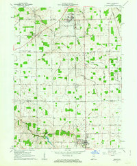
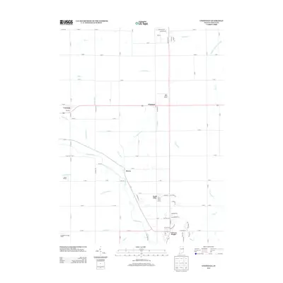
 1962 Uniondale1963 Print · USGSWells County at the start of the 1960s shows a landscape of river-bend settlements and expanding rural infrastructure. Genealogists and local historians can trace family sites near Murray Cem, Lancaster Central Sch, and the Erie-Lackawanna rail line.2 unique versions available
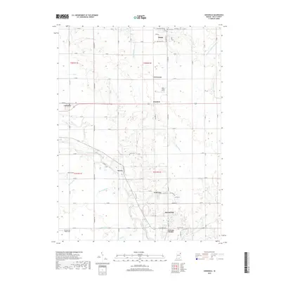
 - 1962 Map of Ossian, 1963 Print
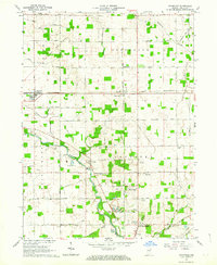
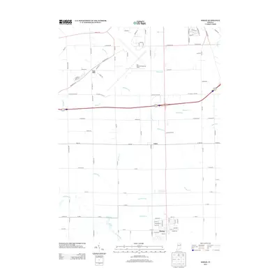
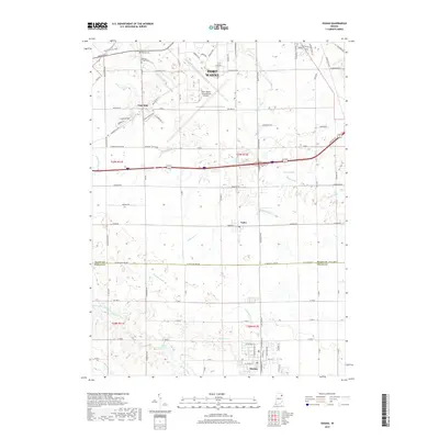
 1962 Ossian1963 Print · USGSAllen and Wells Counties are shown in the early sixties, a time of small-town growth and established aviation infrastructure. Genealogists can trace family footprints across Oak Lawn Cem, the Fairview Ch, and local schools like St Marks Sch.2 unique versions available
 - 1986 Map of Wabash
 1986 Wabash1986 Print · USGSThe Wabash Valley and surrounding Indiana farm country are captured here in the mid-eighties, showing a landscape reshaped by major reservoirs. Genealogists and local historians can trace the paths of the Old Indian Trail and the industrial reach of the Conrail line through towns like Lagro and Warren.2 unique versions available
 - 2010 Map of Uniondale, 2010 Print
 2010 Uniondale2010 Print · USGSCovers Ossian, including Bluffton, Uniondale, and other nearby areas
 - 2010 Map of Ossian, 2010 Print
 2010 Ossian2010 Print · USGSCovers Ossian, including Fort Wayne, Nine Mile, and other nearby areas
 - 2013 Map of Ossian, 2013 Print
 2013 Ossian2013 Print · USGSCovers Ossian, including Fort Wayne, Nine Mile, and other nearby areas
 - 2013 Map of Uniondale, 2013 Print
 2013 Uniondale2013 Print · USGSCovers Ossian, including Bluffton, Uniondale, and other nearby areas
 - 2016 Map of Uniondale, 2016 Print
 2016 Uniondale2016 Print · USGSCovers Ossian, including Bluffton, Uniondale, and other nearby areas
 - 2016 Map of Ossian, 2016 Print
 2016 Ossian2016 Print · USGSCovers Ossian, including Fort Wayne, Nine Mile, and other nearby areas
 - 2019 Map of Uniondale, 2019 Print
 2019 Uniondale2019 Print · USGSCovers Ossian, including Bluffton, Uniondale, and other nearby areas
 - 2019 Map of Ossian, 2019 Print
 2019 Ossian2019 Print · USGSCovers Ossian, including Fort Wayne, Nine Mile, and other nearby areas
 - 2022 Map of Uniondale, 2022 Print
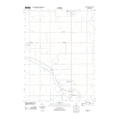
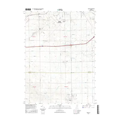
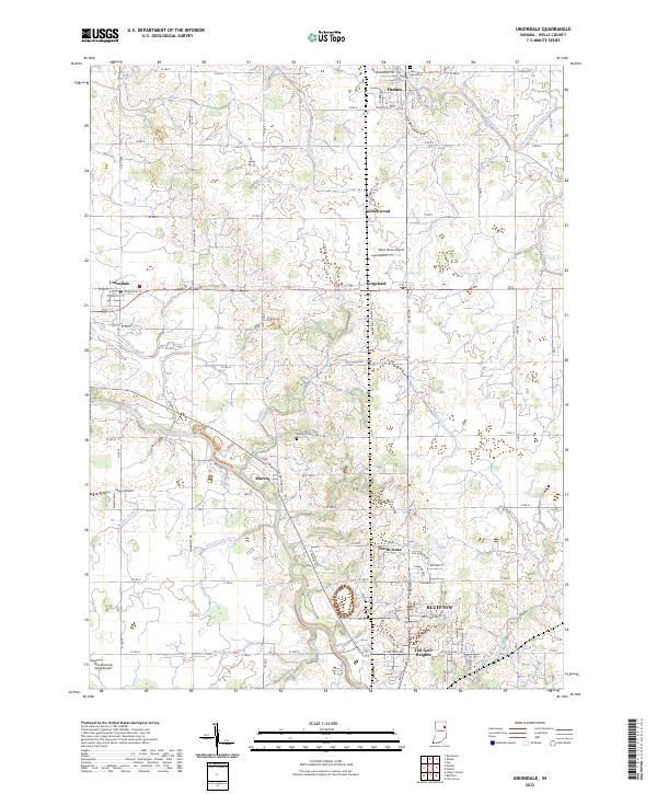 2022 Uniondale2022 Print · USGSWells County's agricultural heartland and the winding path of the Wabash River are captured here in the early 2020s. Researchers can trace the layout of Uniondale and Murray or locate family sites at Oak Lawn Cemetery and Murray Cemetery.
 - 2022 Map of Ossian, 2022 Print
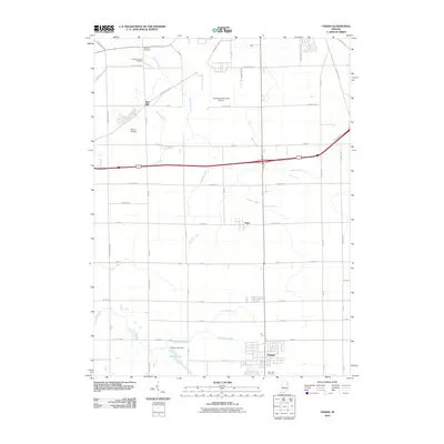
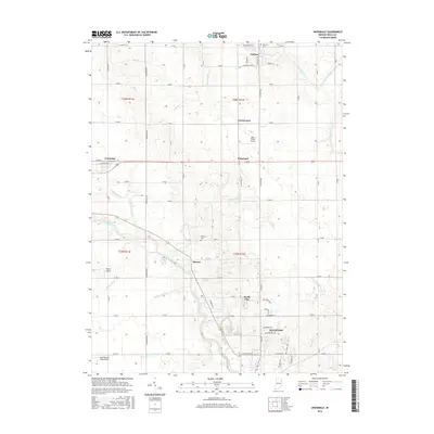
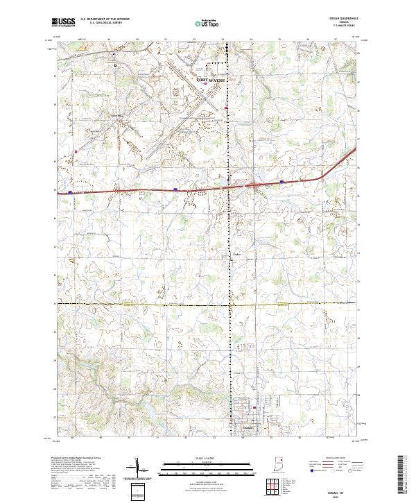 2022 Ossian2022 Print · USGSThe borderlands of Wells and Allen County are shown in the early 2020s as a landscape of managed waterways and aviation expansion. Researchers can locate local landmarks like Brenton Chapel Cem and trace the drainage networks of Eightmile Cr and Robinson Cr.
End of results
Showing maps 1-15 of 15
Top cities near Ossian
- Fort Wayne historical maps
- Aboite historical maps
- New Haven historical maps
- Bluffton historical maps
- Decatur historical maps
- Berne historical maps
See more
Top neighborhoods of Ossian
Frequently asked questions
- What are the different types of historical maps available for Ossian?
- What is the oldest map of Ossian?
- Where can I purchase historical maps of Ossian for my home or office?
- Where can I download high-res historical maps of Ossian?
- Are there historical topographic maps available for Ossian?
- Is there historical aerial imagery available for Ossian?
- Where are historical maps of Ossian sourced from?