2000s (21st Century) Maps of White County, Indiana
Explore 85 historic maps of White County from the 2000s (21st Century). These maps offer a rare glimpse into what life looked like during the 2000s — showing old roads, neighborhoods, homes, and landmarks that have changed or disappeared over time.
Whether you're researching your family's past, planning a metal detecting trip, or studying how White County's landscape evolved across the 2000s, these high-resolution maps are a powerful tool for exploring the history of this region.
- Focus on a specific era: All maps on this page are from the 2000s, giving you a focused view of this time period.
- See what’s changed: Compare century-old streets, trails, and buildings to today's modern landscape using overlays and satellite layers.
- Research with precision: Use these maps for genealogy, historical research, land use analysis, or educational projects.
- View, download, or print: Maps are fully viewable online in high resolution, and can be downloaded or printed for your own records.
Start exploring White County's history through authentic maps from the 2000s. This is your window into the past.
White County, IN maps
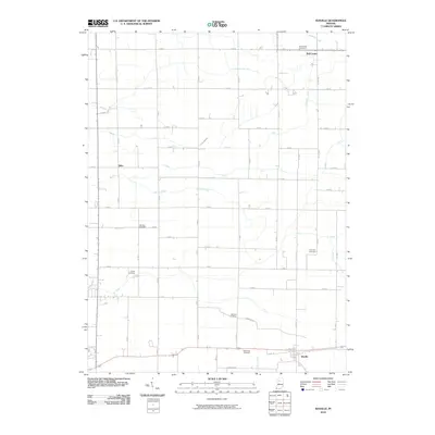
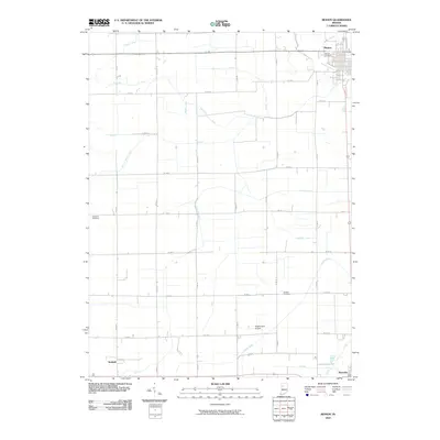
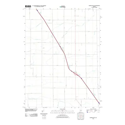
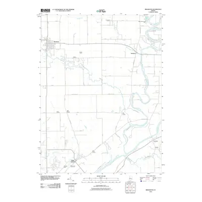
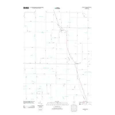
(85)- 2010 Map of Buffalo, 2010 Print
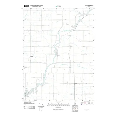 2010 Buffalo2010 Print · USGSCovers White County, including Lakeside, Pulaski, and other nearby areas
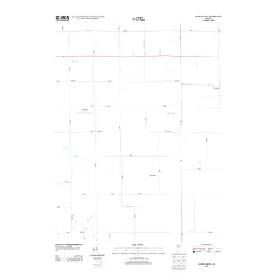
 - 2010 Map of Burrows, 2010 Print
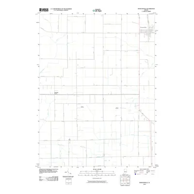
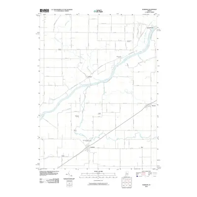 2010 Burrows2010 Print · USGSCovers White County, including Lockport, Georgetown, and other nearby areas
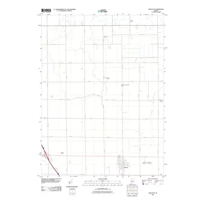
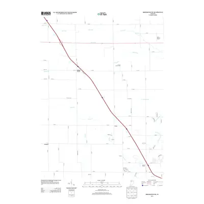
 - 2010 Map of Burnettsville, 2010 Print
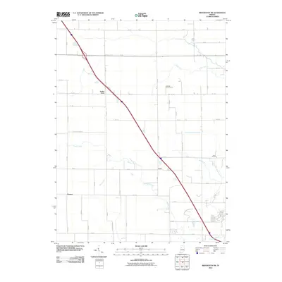
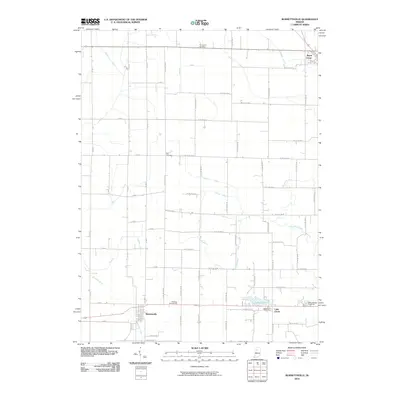 2010 Burnettsville2010 Print · USGSCovers White County, including Royal Center, Burnettsville, and other nearby areas
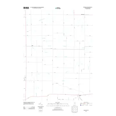
 - 2010 Map of Monon NE, 2010 Print
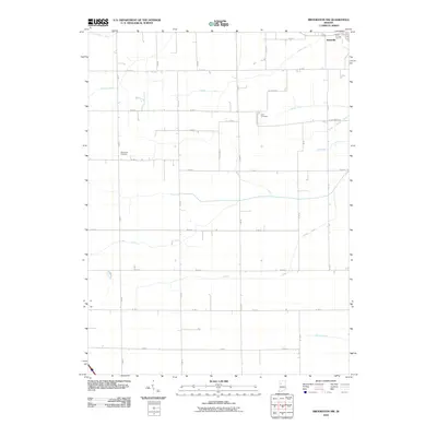
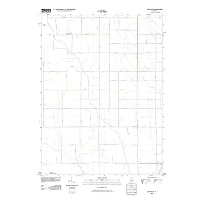 2010 Monon NE2010 Print · USGSCovers White County, including Buffalo, Pulaski County, and other nearby areas
 - 2010 Map of Idaville, 2010 Print
 2010 Idaville2010 Print · USGSCovers White County, including Idaville, Bell Center, and other nearby areas
 - 2010 Map of Round Grove, 2010 Print
 2010 Round Grove2010 Print · USGSCovers White County, including Round Grove, Tippecanoe County, and other nearby areas
 - 2010 Map of Yeoman, 2010 Print
 2010 Yeoman2010 Print · USGSCovers White County, including Monticello, Yeoman, and other nearby areas
 - 2010 Map of Star City, 2010 Print
 2010 Star City2010 Print · USGSCovers White County, including Thornhope, Star City, and other nearby areas
 - 2010 Map of Monon, 2010 Print
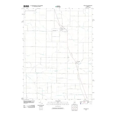
 2010 Monon2010 Print · USGSCovers White County, including Monon, Reynolds, and other nearby areas
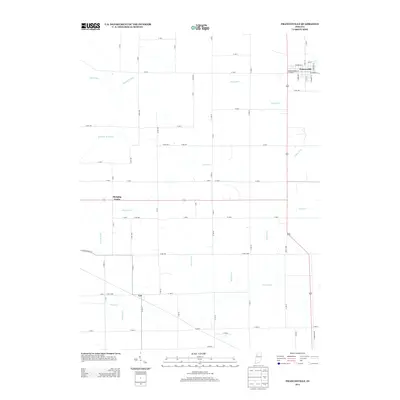
 - 2010 Map of Francesville, 2010 Print
 2010 Francesville2010 Print · USGSCovers White County, including Francesville, Hanging Grove, and other nearby areas
 - 2010 Map of Brookston SW, 2010 Print
 2010 Brookston SW2010 Print · USGSCovers White County, including Badger Grove, Cairo, and other nearby areas
 - 2010 Map of Brookston NW, 2010 Print
 2010 Brookston NW2010 Print · USGSCovers White County, including Reynolds, United States, and other nearby areas
 - 2010 Map of Templeton NE, 2010 Print
 2010 Templeton NE2010 Print · USGSCovers White County, including Jasper County, Benton County, and other nearby areas
 - 2010 Map of Monticello South, 2010 Print
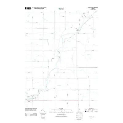
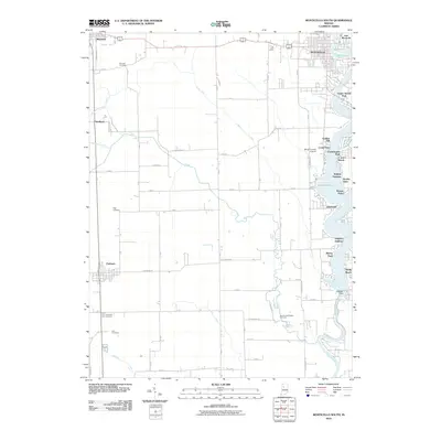 2010 Monticello South2010 Print · USGSCovers White County, including Monticello, Reynolds, and other nearby areas
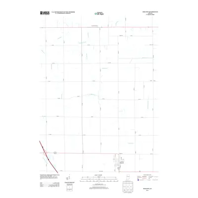
 - 2010 Map of Wolcott, 2010 Print
 2010 Wolcott2010 Print · USGSCovers White County, including Wolcott, Jasper County, and other nearby areas
 - 2010 Map of Monticello North, 2010 Print
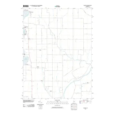
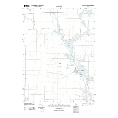 2010 Monticello North2010 Print · USGSCovers White County, including Monticello, Monon, and other nearby areas
 - 2010 Map of Brookston, 2010 Print
 2010 Brookston2010 Print · USGSCovers White County, including Brookston, Battle Ground, and other nearby areas
 - 2013 Map of Round Grove, 2013 Print
 2013 Round Grove2013 Print · USGSCovers White County, including Round Grove, Tippecanoe County, and other nearby areas
 - 2013 Map of Brookston SW, 2013 Print
 2013 Brookston SW2013 Print · USGSCovers White County, including Badger Grove, Cairo, and other nearby areas
 - 2013 Map of Idaville, 2013 Print
 2013 Idaville2013 Print · USGSCovers White County, including Idaville, Bell Center, and other nearby areas
 - 2013 Map of Francesville, 2013 Print
 2013 Francesville2013 Print · USGSCovers White County, including Francesville, Hanging Grove, and other nearby areas
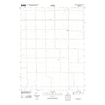
 - 2013 Map of Buffalo, 2013 Print
 2013 Buffalo2013 Print · USGSCovers White County, including Lakeside, Pulaski, and other nearby areas
 - 2013 Map of Star City, 2013 Print
 2013 Star City2013 Print · USGSCovers White County, including Thornhope, Star City, and other nearby areas
 - 2013 Map of Wolcott, 2013 Print
 2013 Wolcott2013 Print · USGSCovers White County, including Wolcott, Jasper County, and other nearby areas
 - 2013 Map of Monon NE, 2013 Print
 2013 Monon NE2013 Print · USGSCovers White County, including Buffalo, Pulaski County, and other nearby areas
Showing maps 1-25 of 85
Top cities of White County
- Monticello historical maps
- Monon historical maps
- Brookston historical maps
- Wolcott historical maps
- Reynolds historical maps
- Chalmers historical maps
See more
Frequently asked questions
- What are the different types of historical maps available for White County?
- What is the oldest map of White County?
- Where can I purchase historical maps of White County for my home or office?
- Where can I download high-res historical maps of White County?
- Are there historical topographic maps available for White County?
- Is there historical aerial imagery available for White County?
- Where are historical maps of White County sourced from?