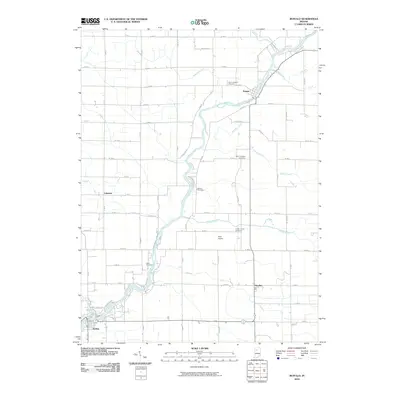
2010 Map of Buffalo
USGS Topo · Published 2010About this map
The Tippecanoe River winds through this rural landscape in Pulaski County, serving as the central geographic feature for the surrounding communities. Small settlements like Pulaski and Headlee are connected by a precise grid of county roads, while the town of Buffalo anchors the southwestern corner. The mapping of numerous drainage systems, such as Budd Fisher Ditch and Ackerman Ditch, illustrates the extensive agricultural management of the land. Genealogists and local historians will find several burial sites noted, including Saint Josephs Cemetery near the river bend and Indian Creek Cemetery further south. The presence of Allen Airport and the crossroads at Lakeside highlight the transport infrastructure that defines this portion of the Indiana countryside during the early 21st century.
Find a feature on this map
66 named features on this map. Tap any name to fly to it.
Don’t see what you’re looking for? This feature index may not catch every label — zoom into the map to look around manually.
Map Details
Editions of this 2010 Buffalo Map
This is the sole edition of this map. No revisions or reprints were ever made.
Other maps of this area

1953 · Chicago
USGS Topo · 1:250,000

1953 · Danville
USGS Topo · 1:250,000

1955 · Danville
USGS Topo · 1:250,000

1956 · Danville
USGS Topo · 1:250,000

1957 · Chicago
USGS Topo · 1:250,000

1962 · Buffalo
USGS Topo · 1:24,000

1962 · Monon NE
USGS Topo · 1:24,000

1962 · Winamac
USGS Topo · 1:24,000

1962 · Star City
USGS Topo · 1:24,000

1962 · Burnettsville
USGS Topo · 1:24,000