Old Maps of White County, Indiana for Metal Detecting
Plan your next treasure hunt with 108 historic maps of White County. Find old homesites, ghost towns, trails, and gathering spots that may be lost to time — perfect for identifying promising metal detecting locations.
- Locate forgotten sites: Uncover places like long-lost settlements, abandoned rail lines, or gathering spots.
- Plan better hunts: Use map overlays combined with LiDAR or satellite views to narrow in on historically rich areas.
- Made for detectorists: Thousands of hobbyists use these maps to discover relics, coins, and hidden history.
Use these historic maps to boost your research and find new opportunities beneath the surface of White County.
White County, IN maps
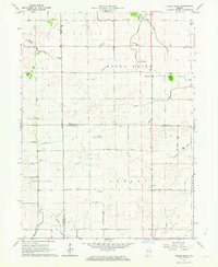
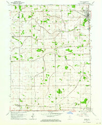
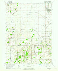
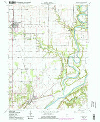
(108)- 1953 Map of Danville, 1965 Print
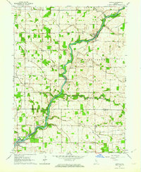
 1953 Danville1965 Print · USGSIndiana and Illinois crossroads come to life in this mid-century survey as the interstate era begins to reshape the river-and-rail landscape. Genealogists and collectors can trace the historic paths of the Nickel Plate railroad or locate smaller communities like Veedersburg, Goodland, and Bismarck.3 unique versions available
 - 1955 Map of Danville
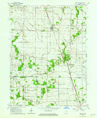
 1955 Danville1955 Print · USGSThe Indiana-Illinois borderlands during the mid-fifties reveal a landscape of thriving rail hubs and university towns. Researchers can trace the legacy of Purdue University, the Tippecanoe Battlefield, and the path of the Pennsylvania RR.
 - 1956 Map of Danville
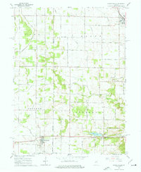
 1956 Danville1956 Print · USGSMid-century Indiana and Illinois are captured here as the river-and-rail economy evolved into the modern highway era. Researchers can trace ancestral roots and old transport lines through Logansport, Battle Ground, and the dams at Lake Shafer.
 - 1962 Map of Buffalo, 1963 Print
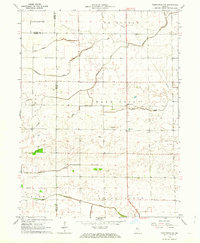
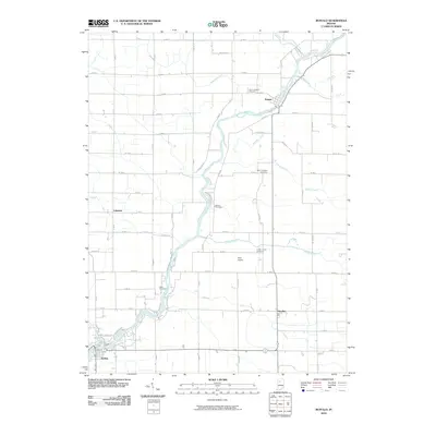
 1962 Buffalo1963 Print · USGSNorthern White County and southern Pulaski County are defined here by the winding Tippecanoe River in the early sixties. Genealogists can trace family roots through sites like Hoover Cem, White Oak Ch, and the rural community of Headlee.2 unique versions available
 - 1962 Map of Burrows, 1963 Print
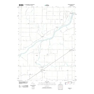
 1962 Burrows1963 Print · USGSThe Wabash River valley in the early sixties is shown here during a time of settled rail and river history. Genealogists and local researchers can locate numerous family landmarks and burial sites like Seceder Cem, IOOF Cem, and Township Sch.3 unique versions available
 - 1962 Map of Brookston SW, 1963 Print
 1962 Brookston SW1963 Print · USGSTippecanoe and White County farmlands are frozen in time just after the turn of the sixties, showing a landscape defined by crossroads hamlets and drainage ditches. Genealogists and local historians can trace family locations near Badger Grove, Octagon, or the Cairo Cemetery.2 unique versions available
 - 1962 Map of Monticello South, 1963 Print
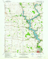
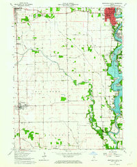 1962 Monticello South1963 Print · USGSWhite County enters a new era of lakeside living in the early sixties as development spreads along the shores of Lake Freeman. Researchers can trace the civic growth of Monticello or locate family roots at Bunnell Cem and the small whistle-stop of Smithson.2 unique versions available
 - 1962 Map of Round Grove, 1963 Print
 1962 Round Grove1963 Print · USGSNorthwest Indiana's prairie lands appear here in the early sixties, where the corners of three counties meet. Genealogists and local historians can trace the rural layout of Round Grove, find the old Township Sch, and locate family land near Barrydale.
 - 1962 Map of Templeton NE, 1963 Print
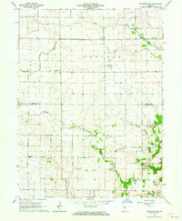
 1962 Templeton NE1963 Print · USGSThe rural borders of White and Benton Counties are captured in the early sixties, showing a landscape shaped by drainage and family farming. Genealogists and local historians can trace legacy landmarks like Meadow Lake Ch, the Cem, and numerous named waterways including Sweeney Ditch.3 unique versions available
 - 1962 Map of Monon NE, 1963 Print
 1962 Monon NE1963 Print · USGSThe rural borderlands of Pulaski and White Counties are captured here in the early 1960s, showing a landscape defined by an extensive drainage system. Local historians can trace family ties at Roseland Cem, the St James Ch, and the old Beaver Center Sch.
 - 1962 Map of Brookston NW, 1963 Print
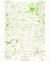
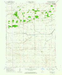 1962 Brookston NW1963 Print · USGSWhite County’s agricultural landscape is seen here in the early sixties, highlighting the vital drainage infrastructure of the Indiana prairie. Researchers can trace rural cemetery locations like West Point Cem and the settlement at Reynolds alongside family-named projects like Bell Ditch.3 unique versions available
 - 1962 Map of Monon, 1964 Print
 1962 Monon1964 Print · USGSWhite County's agricultural and rail heartland is captured here in the early sixties, showing the intersection of major Indiana transit lines. Genealogists can locate family sites at Palestine Cem and Swisher Cem or trace the rural rail stops of Seafield and Reynolds.2 unique versions available
 - 1962 Map of Star City, 1964 Print
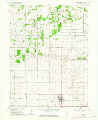
 1962 Star City1964 Print · USGSPulaski County agricultural life is captured here in the early 1960s, showing the intersection of rail transport and rural community centers. Researchers can trace the lineage of Star City and Thornhope, locating the I O O F Cem and the local Twp Sch.
 - 1962 Map of Burnettsville, 1964 Print
 1962 Burnettsville1964 Print · USGSIndiana’s agricultural heartland is captured here in the early sixties as the borderlands of White and Cass counties were firmly established. Local historians can trace the Pennsylvania rail line past Lake Cicott and find rural landmarks like Zion Cem, Davis Cem, and the Micro-Midget Racetrack.2 unique versions available
 - 1962 Map of Monticello North, 1964 Print
 1962 Monticello North1964 Print · USGSWhite County was a hub of river activity and rail transport in the early sixties as leisure life expanded along the water. Genealogists can trace family roots through rural landmarks like Wilson Cem, Bedford Ch, and the vanished Twp Sch.2 unique versions available
 - 1962 Map of Francesville, 1964 Print
 1962 Francesville1964 Print · USGSNorthwest Indiana's agricultural prairie is seen in the early sixties as a network of drainage ditches and rail lines. You can trace the MONON railroad through Francesville or locate rural landmarks like Osborne Cem and the settlement of Lee.2 unique versions available
 - 1962 Map of Yeoman, 1964 Print
 1962 Yeoman1964 Print · USGSCarroll and White counties come alive in the early sixties as recreational lakeside communities began to grow alongside traditional rail-towns. Genealogists and local historians can trace family roots at Schock Cem and River View Cem or follow the historic Monon Railroad through Yeoman.
 - 1962 Map of Wolcott, 1964 Print
 1962 Wolcott1964 Print · USGSThe Indiana prairie near the Jasper and White county line is captured here in the early sixties, centered on the rail-side growth of Wolcott. Researchers can trace local lineage through several rural burial sites like Palestine Cem and the Apostolic Ch.3 unique versions available
 - 1962 Map of Idaville, 1964 Print
 1962 Idaville1964 Print · USGSWhite County farming communities and drainage networks are meticulously detailed in the early sixties. Genealogists can locate several family landmarks and community sites like Pious Chapel, Bell Center Cem, and the Township Sch.2 unique versions available
 - 1962 Map of Brookston, 1987 Print
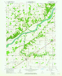
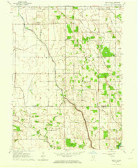
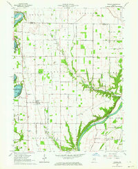
 1962 Brookston1987 Print · USGSIndiana’s river country comes to life in the early sixties as the Tippecanoe River meets the Wabash. Genealogists and historians can trace family burial plots like Pretty Prairie Cem and explore the historic Tippecanoe Battlefield Memorial.2 unique versions available
 - 1984 Map of Watseka, 1985 Print
 1984 Watseka1985 Print · USGSThe Illinois-Indiana borderlands thrived on a dense rail and river network during the mid-eighties. Genealogists and local historians can trace the foundations of rural life through landmarks like St Josephs College, the Iroquois Hospital, and towns like Milford and Beaverville.
 - 1985 Map of Logansport
 1985 Logansport1985 Print · USGSNorth-central Indiana in the mid-eighties shows a landscape of river-fed towns and significant military aviation hubs. Genealogists and local historians can trace the rail corridors of the Conrail or locate sites like River View Cem and the crossroads at Twelve Mile.2 unique versions available
 - 1990 Map of Watseka, 1991 Print
 1990 Watseka1991 Print · USGSThe Illinois and Indiana borderlands are captured here in the early nineties, showing a landscape defined by prairie drainage and rail lines. You can trace family roots through settlements like L'Erable and Raub or locate landmarks such as Saint Josephs College.
 - 2010 Map of Buffalo, 2010 Print
 2010 Buffalo2010 Print · USGSCovers White County, including Lakeside, Pulaski, and other nearby areas
 - 2010 Map of Burrows, 2010 Print
 2010 Burrows2010 Print · USGSCovers White County, including Lockport, Georgetown, and other nearby areas
Showing maps 1-25 of 108
Top cities of White County
- Monticello historical maps
- Monon historical maps
- Brookston historical maps
- Wolcott historical maps
- Reynolds historical maps
- Chalmers historical maps
See more
Frequently asked questions
- What are the different types of historical maps available for White County?
- What is the oldest map of White County?
- Where can I purchase historical maps of White County for my home or office?
- Where can I download high-res historical maps of White County?
- Are there historical topographic maps available for White County?
- Is there historical aerial imagery available for White County?
- Where are historical maps of White County sourced from?