Old Maps of South Whitley, Indiana for Metal Detecting
Plan your next treasure hunt with 16 historic maps of South Whitley. Find old homesites, ghost towns, trails, and gathering spots that may be lost to time — perfect for identifying promising metal detecting locations.
- Locate forgotten sites: Uncover places like long-lost settlements, abandoned rail lines, or gathering spots.
- Plan better hunts: Use map overlays combined with LiDAR or satellite views to narrow in on historically rich areas.
- Made for detectorists: Thousands of hobbyists use these maps to discover relics, coins, and hidden history.
Use these historic maps to boost your research and find new opportunities beneath the surface of South Whitley.
South Whitley, IN maps
(16)- 1953 Map of Fort Wayne, 1963 Print
 1953 Fort Wayne1963 Print · USGSNortheast Indiana and its neighboring borderlands in Michigan and Ohio appear here during a peak era of rail and road expansion. Researchers can trace the massive rail networks of the Nickel Plate Road and Wabash or locate lakeside landmarks like Lake Wawasee and Clear Lake.4 unique versions available
 - 1956 Map of Fort Wayne
 1956 Fort Wayne1956 Print · USGSThe tri-state borderlands of Indiana, Michigan, and Ohio are captured here in the mid-fifties, centered on the growing industrial hub of Fort Wayne. Researchers can trace the heavy rail lines of the New York Central and Pennsylvania alongside prominent water features like Lake Wawasee and the Maumee River.2 unique versions available
 - 1962 Map of South Whitley West, 1963 Print
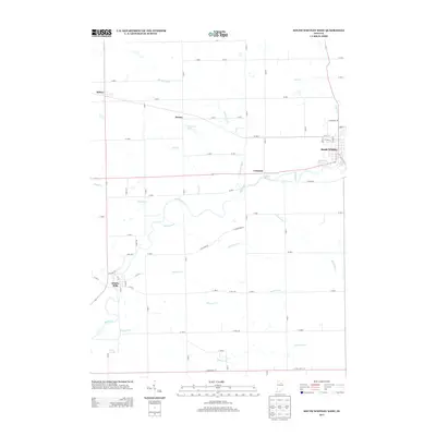
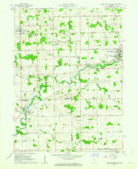 1962 South Whitley West1963 Print · USGSIndiana's Eel River valley comes into sharp focus during the early sixties as a thriving corridor of rail and river commerce. Genealogists and historians can trace the foundations of South Whitley, explore the grounds of Township Sch, or locate family plots in Glenwood Cem and Union Cem.2 unique versions available
 - 1962 Map of South Whitley East, 1963 Print
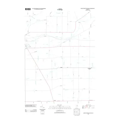
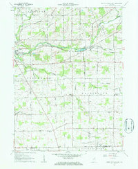 1962 South Whitley East1963 Print · USGSWhitley County agriculture and rail commerce thrived in the early sixties as the Eel River shaped the local economy. Genealogists can trace family roots through St Johns Ch, Eberhard Ch Cem, and the crossroads at Tunker.2 unique versions available
 - 1984 Map of Fort Wayne, 1985 Print
 1984 Fort Wayne1985 Print · USGSNortheast Indiana in the mid-1980s reveals a complex landscape of glacial lakes, thriving college towns, and heavy rail infrastructure. Researchers can trace the development of Winona Lake, locate Manchester College in North Manchester, and find rural landmarks like Oakwood Cem or the Tri-County State Fish and Game Area.
 - 1994 Map of Fort Wayne
 1994 Fort Wayne1994 Print · USGSNortheast Indiana in the mid-nineties shows a landscape deeply tied to its glacial lakes and early rail networks. Genealogists and historians can trace old transit lines like the Old Ind RR and explore lakeside settlements such as Enchanted Hills and Syracuse.
 - 2010 Map of South Whitley West, 2010 Print
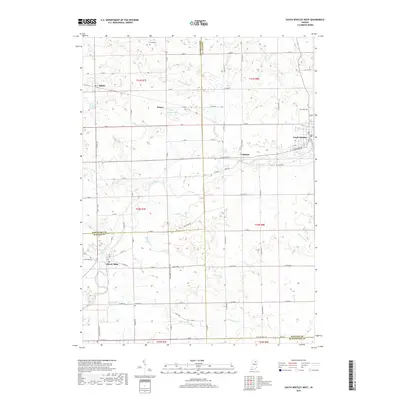
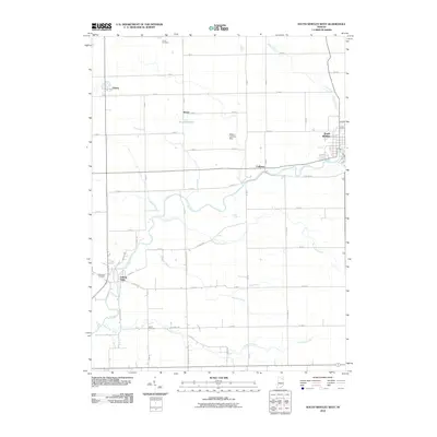 2010 South Whitley West2010 Print · USGSCovers South Whitley, including Sidney, Liberty Mills, and other nearby areas
 - 2010 Map of South Whitley East, 2010 Print
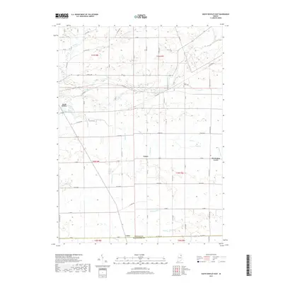
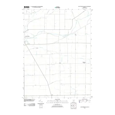 2010 South Whitley East2010 Print · USGSCovers South Whitley, including Keiser, Luther, and other nearby areas
 - 2013 Map of South Whitley West, 2013 Print
 2013 South Whitley West2013 Print · USGSCovers South Whitley, including Sidney, Liberty Mills, and other nearby areas
 - 2013 Map of South Whitley East, 2013 Print
 2013 South Whitley East2013 Print · USGSCovers South Whitley, including Keiser, Luther, and other nearby areas
 - 2016 Map of South Whitley West, 2016 Print
 2016 South Whitley West2016 Print · USGSCovers South Whitley, including Sidney, Liberty Mills, and other nearby areas
 - 2016 Map of South Whitley East, 2016 Print
 2016 South Whitley East2016 Print · USGSCovers South Whitley, including Keiser, Luther, and other nearby areas
 - 2019 Map of South Whitley West, 2019 Print
 2019 South Whitley West2019 Print · USGSCovers South Whitley, including Sidney, Liberty Mills, and other nearby areas
 - 2019 Map of South Whitley East, 2019 Print
 2019 South Whitley East2019 Print · USGSCovers South Whitley, including Keiser, Luther, and other nearby areas
 - 2022 Map of South Whitley West, 2022 Print
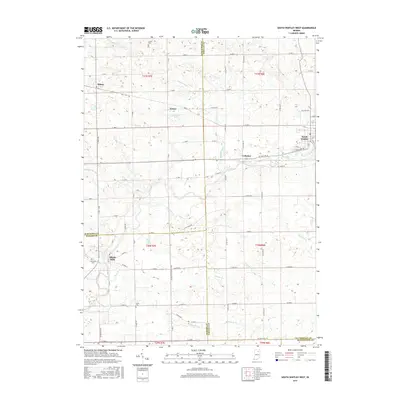
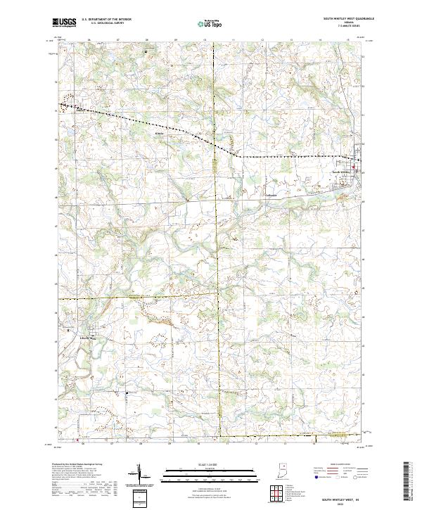 2022 South Whitley West2022 Print · USGSNorthern Indiana's rural townships are documented here during the early 2020s, showcasing the small river towns and agricultural grids of the region. Genealogists can locate family landmarks like Circle Cem and Union Cem or trace the early paths of Liberty Mills and Collamer.
 - 2022 Map of South Whitley East, 2022 Print
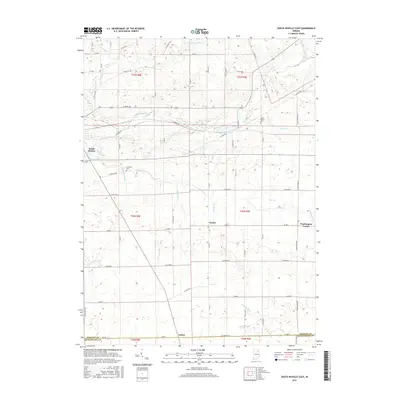
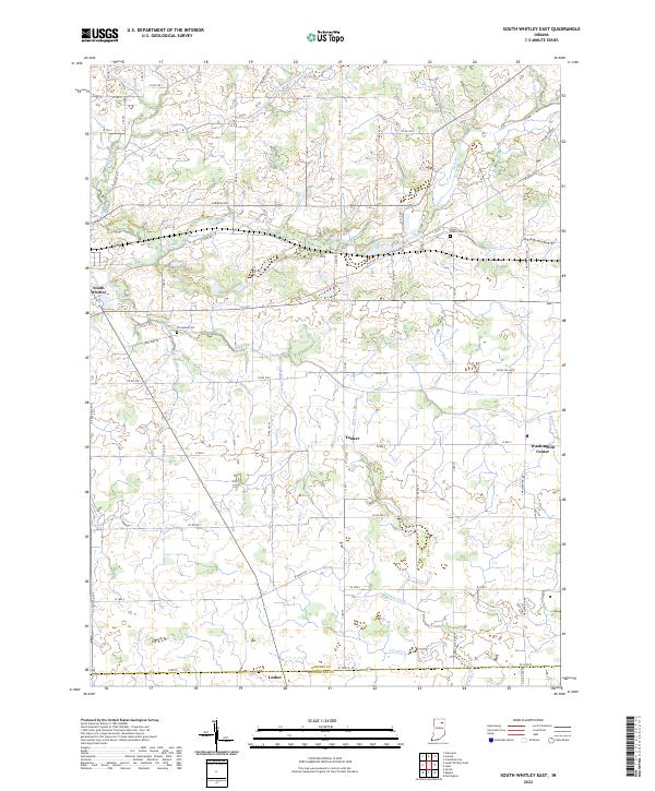 2022 South Whitley East2022 Print · USGSSouthern Whitley County and the Huntington County border come alive in this recent survey of Indiana's agricultural heartland. Researchers can trace the legacy of rural settlements like Tunker and Luther or locate family plots at Saint Peters Cem and Cleveland Cem.
End of results
Showing maps 1-16 of 16
Top cities near South Whitley
- Huntington historical maps
- Warsaw historical maps
- Columbia City historical maps
- North Manchester historical maps
- Winona Lake historical maps
- Andrews historical maps
See more
Frequently asked questions
- What are the different types of historical maps available for South Whitley?
- What is the oldest map of South Whitley?
- Where can I purchase historical maps of South Whitley for my home or office?
- Where can I download high-res historical maps of South Whitley?
- Are there historical topographic maps available for South Whitley?
- Is there historical aerial imagery available for South Whitley?
- Where are historical maps of South Whitley sourced from?