Old Maps of Wolcottville, Indiana for Academic Research
Study the evolution of Wolcottville with 19 high-resolution historic maps. Whether you're teaching, researching, or modeling changes in land use, these maps provide essential visual documentation of urban, environmental, and geographic change.
- Analyze long-term change: Track patterns in development, transportation, and natural features.
- Ideal for environmental or urban studies: Support academic projects with primary historical map data.
- Use in the classroom or lab: Educators and researchers rely on these maps to bring historical context to life.
These maps are a powerful tool for teaching, research, and visualizing how Wolcottville has changed over the decades.
Wolcottville, IN maps
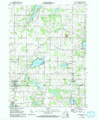
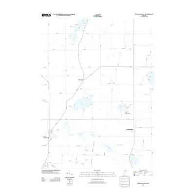
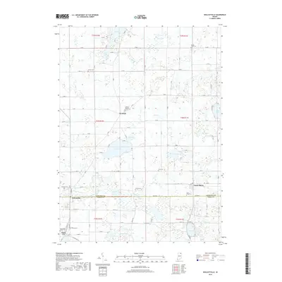
(19)- 1947 Map of Wolcottville
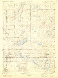 1947 Wolcottville1947 Print · USGSThe lake-strewn border of LaGrange and Noble counties is captured here just after the war, showing the vital rail junction at Wolcottville. Genealogists and local historians can trace family plots at Bethel Cem or locate the distinctive Kneipp Springs Sanitarium.2 unique versions available
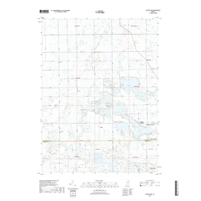
 - 1947 Map of Oliver Lake
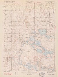 1947 Oliver Lake1947 Print · USGSLaGrange and Noble counties appear here just after the war, defined by a dense network of glacial lakes and small farming communities. Researchers can trace the legacy of local landmarks like the Rogers Orphanage, the Limberlost Camp, and family burial grounds including Osborn Cem.2 unique versions available
 - 1953 Map of Fort Wayne, 1963 Print
 1953 Fort Wayne1963 Print · USGSNortheast Indiana and its neighboring borderlands in Michigan and Ohio appear here during a peak era of rail and road expansion. Researchers can trace the massive rail networks of the Nickel Plate Road and Wabash or locate lakeside landmarks like Lake Wawasee and Clear Lake.4 unique versions available
 - 1956 Map of Fort Wayne
 1956 Fort Wayne1956 Print · USGSThe tri-state borderlands of Indiana, Michigan, and Ohio are captured here in the mid-fifties, centered on the growing industrial hub of Fort Wayne. Researchers can trace the heavy rail lines of the New York Central and Pennsylvania alongside prominent water features like Lake Wawasee and the Maumee River.2 unique versions available
 - 1959 Map of Wolcottville, 1960 Print
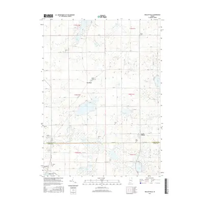
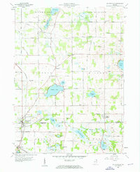 1959 Wolcottville1960 Print · USGSWolcottville and South Milford are shown in the late fifties at the intersection of the Pennsylvania and Wabash railroads. Genealogists and local historians can trace family-named sites like Kneipp Springs Sanitarium, Brushy Chapel Cem, and Woodruff.3 unique versions available
 - 1959 Map of Oliver Lake, 1961 Print
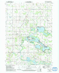
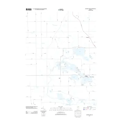
 1959 Oliver Lake1961 Print · USGSLaGrange County and the Indian Lakes region are shown in detail during the late fifties, a period of established lakeside camps and rail-line activity. Genealogists can locate family landmarks like Taylor Sch, Miller Cem, and the village of Wolcottville.
 - 1985 Map of Elkhart
 1985 Elkhart1985 Print · USGSThe Indiana-Michigan borderlands come into focus in the mid-1980s, showcasing the industrial rail hubs and rural agricultural townships of the St. Joseph valley. Genealogists and historians can trace the growth of Elkhart, Goshen, and Three Rivers, or locate smaller communities like Middlebury and White Pigeon.2 unique versions available
 - 1992 Map of Wolcottville, 1993 Print
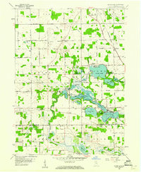
 1992 Wolcottville1993 Print · USGSThe lake-dotted border of LaGrange and Noble Counties is captured here in the early nineties, showing a landscape of rural townships and summer camps. Researchers can trace local lineage through several sites like Brushy Chapel Cem, Woodland Cem, and the old rail corridor at Old RR Gr.
 - 1992 Map of Oliver Lake, 1993 Print
 1992 Oliver Lake1993 Print · USGSNortheastern Indiana’s lake country is captured here in the early 1990s, centered on the interconnected waters of the Elkhart River watershed. Genealogists and local historians can locate rural landmarks like the Jordan Cemetery, the settlement of Valentine, and several country schools.
 - 2010 Map of Wolcottville, 2010 Print
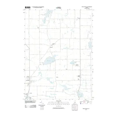 2010 Wolcottville2010 Print · USGSCovers Wolcottville, including Rome City, Woodruff, and other nearby areas
 - 2010 Map of Oliver Lake, 2010 Print
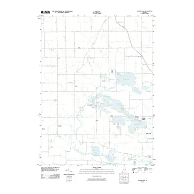 2010 Oliver Lake2010 Print · USGSCovers Wolcottville, including Witmer Manor, Valentine, and other nearby areas
 - 2013 Map of Wolcottville, 2013 Print
 2013 Wolcottville2013 Print · USGSCovers Wolcottville, including Rome City, Woodruff, and other nearby areas
 - 2013 Map of Oliver Lake, 2013 Print
 2013 Oliver Lake2013 Print · USGSCovers Wolcottville, including Witmer Manor, Valentine, and other nearby areas
 - 2016 Map of Wolcottville, 2016 Print
 2016 Wolcottville2016 Print · USGSCovers Wolcottville, including Rome City, Woodruff, and other nearby areas
 - 2016 Map of Oliver Lake, 2016 Print
 2016 Oliver Lake2016 Print · USGSCovers Wolcottville, including Witmer Manor, Valentine, and other nearby areas
 - 2019 Map of Wolcottville, 2019 Print
 2019 Wolcottville2019 Print · USGSCovers Wolcottville, including Rome City, Woodruff, and other nearby areas
 - 2019 Map of Oliver Lake, 2019 Print
 2019 Oliver Lake2019 Print · USGSCovers Wolcottville, including Witmer Manor, Valentine, and other nearby areas
 - 2022 Map of Oliver Lake, 2022 Print
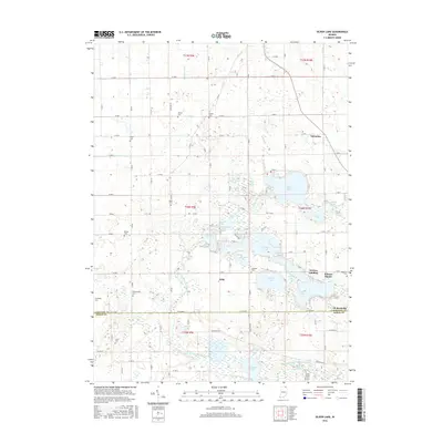
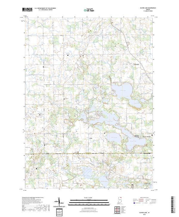 2022 Oliver Lake2022 Print · USGSLaGrange County at the start of the 2020s remains a landscape of glacial lakes and quiet crossroads settlements. Genealogists and local historians can trace family ties through numerous rural burial sites like Sloan Cem and Beulah Cem or explore the water-bound reaches of Webers Landing.
 - 2022 Map of Wolcottville, 2022 Print
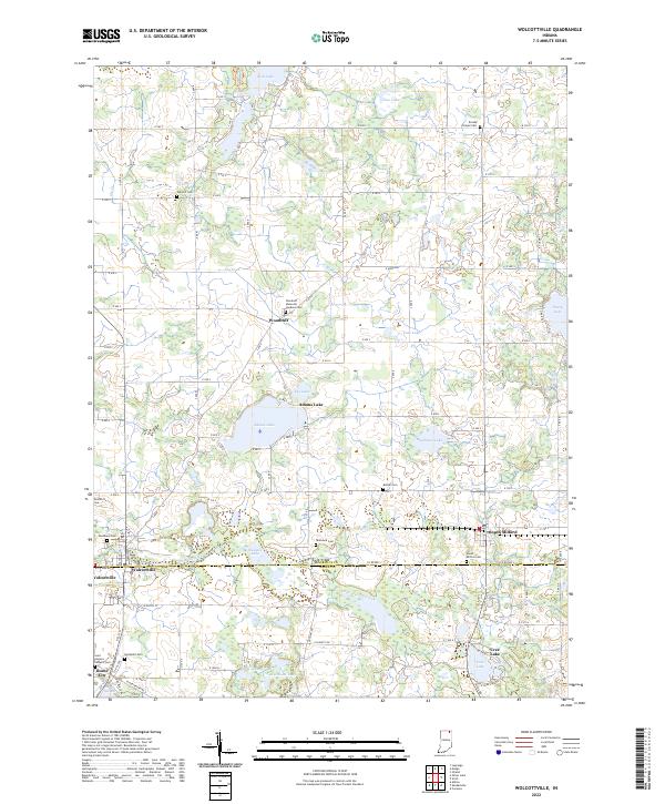 2022 Wolcottville2022 Print · USGSNortheastern Indiana's lake country is mapped here in the early 2020s, centered on the county line. Trace family sites at Woodland Cem, Kneipp Springs, and the lakeside settlements of Wolcottville and South Milford.
End of results
Showing maps 1-19 of 19
Top cities near Wolcottville
- Kendallville historical maps
- Garrett historical maps
- Ligonier historical maps
- Lagrange historical maps
- LaGrange historical maps
- Avilla historical maps
See more
Frequently asked questions
- What are the different types of historical maps available for Wolcottville?
- What is the oldest map of Wolcottville?
- Where can I purchase historical maps of Wolcottville for my home or office?
- Where can I download high-res historical maps of Wolcottville?
- Are there historical topographic maps available for Wolcottville?
- Is there historical aerial imagery available for Wolcottville?
- Where are historical maps of Wolcottville sourced from?