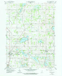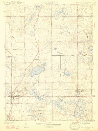
1947 Map of Wolcottville
USGS Topo · Published 1947About this map
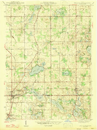
Wolcottville and South Milford anchor this survey of the glacial lake country along the border of LaGrange and Noble counties. The post-war landscape is defined by its complex hydrology, where Fly Creek and the Schwab Ditch connect a series of significant water bodies including Adam Lake, Eve Lake, and Tamarack Lake. The intersection of the Pennsylvania and Wabash railroads at Wolcottville highlights the town's importance as a regional transportation hub during the mid-20th century. Near the southern edge, the Kneipp Springs Sanitarium occupies a prominent position above Sylvan Lake, reflecting the era's local industry centered on health and mineral springs. Rural life is further mapped through numerous family and community landmarks such as Brushy Chapel Cem and Woodruff.
Find a feature on this map
35 named features on this map. Tap any name to fly to it.
Don’t see what you’re looking for? This feature index may not catch every label — zoom into the map to look around manually.
Map Details
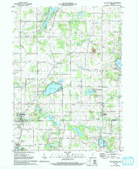
Editions of this 1947 Wolcottville Map
2 editions found
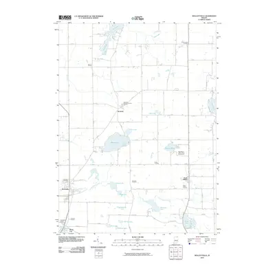
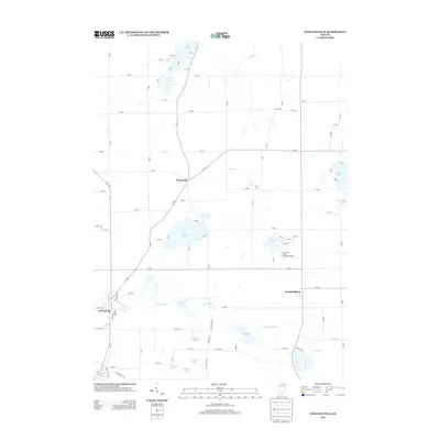
Historical Maps of Rome City Through Time
8 maps found