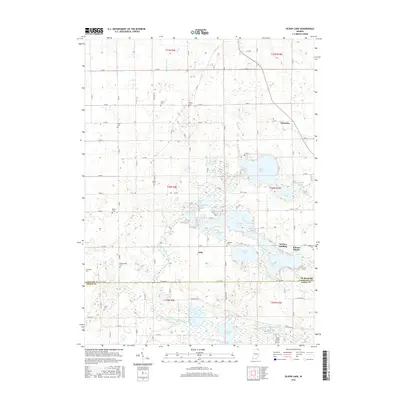
2016 Map of Oliver Lake
USGS Topo · Published 2016About this map
The North Branch Elkhart River and Middle Branch Elkhart River carve through this glaciated landscape in northeastern Indiana, feeding a dense chain of kettle lakes. The water system is remarkably complex, linking larger bodies like Oliver Lake and Witmer Lake through smaller channels and marshes such as Goose Pond, Hackenburg Lake, and Dallas Lake. This intricate hydrography defined the regional settlement patterns, with communities and landings clustered around the shoreline access points.
Find a feature on this map
103 named features on this map. Tap any name to fly to it.
Don’t see what you’re looking for? This feature index may not catch every label — zoom into the map to look around manually.
Map Details
Editions of this 2016 Oliver Lake Map
This is the sole edition of this map. No revisions or reprints were ever made.
Other maps of this area
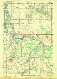
1947 · Mongo
USGS Topo · 1:24,000
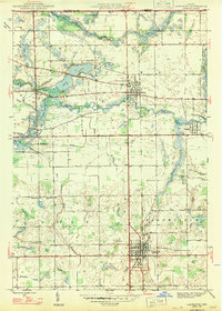
1947 · Lagrange
USGS Topo · 1:24,000
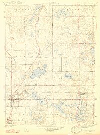
1947 · Wolcottville
USGS Topo · 1:24,000
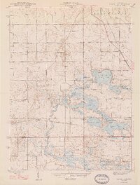
1947 · Oliver Lake
USGS Topo · 1:24,000
1953 · Fort Wayne
USGS Topo · 1:250,000
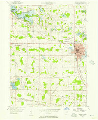
1955 · Kendallville
USGS Topo · 1:24,000
1956 · Fort Wayne
USGS Topo · 1:250,000
1956 · Ligonier
USGS Topo · 1:24,000
1956 · Albion
USGS Topo · 1:24,000
1959 · Wolcottville
USGS Topo · 1:24,000