
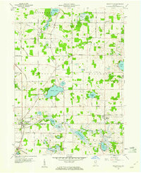
1959 Map of Wolcottville
USGS Topo · Published 1960About this map
The town of Wolcottville sits at the junction of the Pennsylvania and Wabash railroads, serving as a hub for the glacial lake country of Northeast Indiana. In the late 1950s, the landscape remained defined by these rail corridors and a high density of small, named lakes such as Adams Lake, Pretty Lake, and Cree Lake. Local history is anchored by several rural landmarks, including the Kneipp Springs Sanitarium and the nearby St Gaspars Ch. The map reveals the intricate drainage patterns of the Little Elkhart Creek and Fly Creek, alongside agricultural settlements like South Milford and Woodruff. Cultural features such as Brushy Chapel Cem and Tamarack Cem provide significant points of interest for genealogical research in this region of the LaGrange and Noble county line.
Find a feature on this map
47 named features on this map. Tap any name to fly to it.
Don’t see what you’re looking for? This feature index may not catch every label — zoom into the map to look around manually.
Map Details
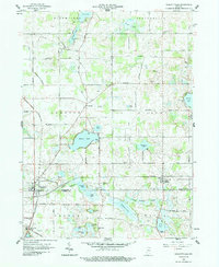
Editions of this 1959 Wolcottville Map
3 editions found
Other maps of this area

1940 · Orland
USGS Topo · 1:24,000

1941 · Orland
USGS Topo · 1:24,000

1942 · Stroh
USGS Topo · 1:24,000

1947 · Mongo
USGS Topo · 1:24,000

1947 · Lagrange
USGS Topo · 1:24,000

1947 · Wolcottville
USGS Topo · 1:24,000

1947 · Oliver Lake
USGS Topo · 1:24,000

1953 · Fort Wayne
USGS Topo · 1:250,000

1955 · Corunna
USGS Topo · 1:24,000

1955 · Kendallville
USGS Topo · 1:24,000