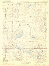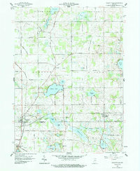
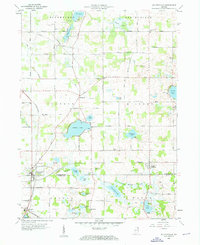
1959 Map of Wolcottville
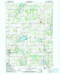
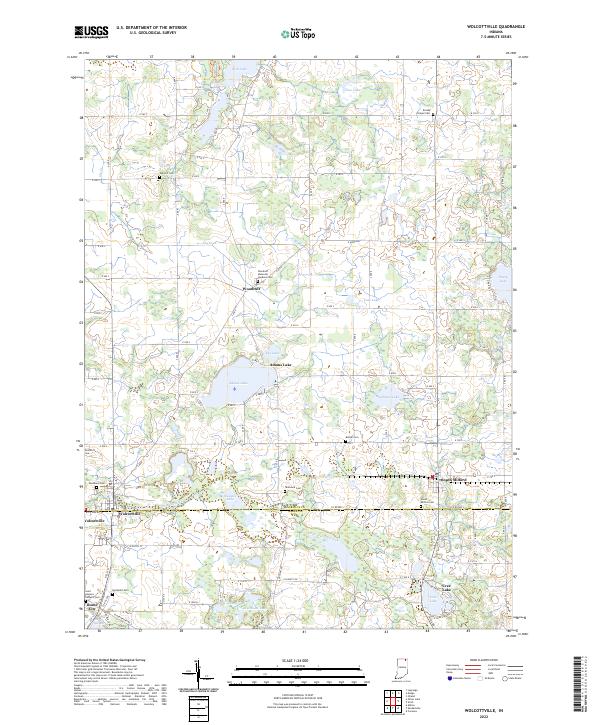
USGS Topo · Published 1987About this map
The town of Wolcottville sits at the intersection of the Pennsylvania and Wabash rail lines, serving as a hub for the agricultural and lake-strewn borderlands of LaGrange and Noble Counties. This mid-century landscape is defined by its glacial hydrology, featuring a dense concentration of named water bodies like Adams Lake, Tamarack Lake, and Pretty Lake. The presence of the Kneipp Springs Sanitarium and numerous public fishing sites suggests the area's dual character as a site of early twentieth-century health tourism and local recreation.
Find a feature on this map
49 named features on this map. Tap any name to fly to it.
Don’t see what you’re looking for? This feature index may not catch every label — zoom into the map to look around manually.
Map Details
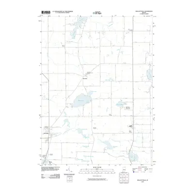
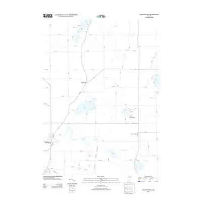
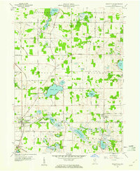
Editions of this 1959 Wolcottville Map
3 editions found
Historical Maps of Rome City Through Time
8 maps found