2000s (21st Century) Maps of Adair, Iowa
Explore 10 historic maps of Adair from the 2000s (21st Century). These maps offer a rare glimpse into what life looked like during the 2000s — showing old roads, neighborhoods, homes, and landmarks that have changed or disappeared over time.
Whether you're researching your family's past, planning a metal detecting trip, or studying how Adair's landscape evolved across the 2000s, these high-resolution maps are a powerful tool for exploring the history of this region.
- Focus on a specific era: All maps on this page are from the 2000s, giving you a focused view of this time period.
- See what’s changed: Compare century-old streets, trails, and buildings to today's modern landscape using overlays and satellite layers.
- Research with precision: Use these maps for genealogy, historical research, land use analysis, or educational projects.
- View, download, or print: Maps are fully viewable online in high resolution, and can be downloaded or printed for your own records.
Start exploring Adair's history through authentic maps from the 2000s. This is your window into the past.
Adair, IA maps
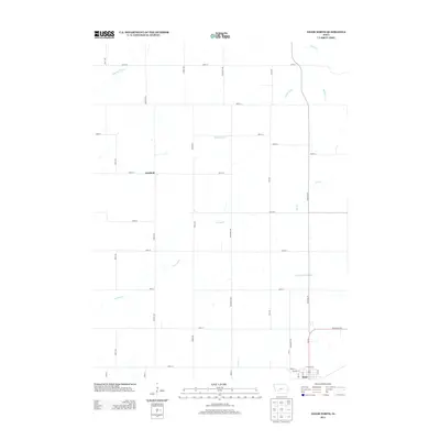
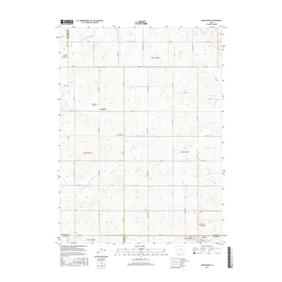
(10)- 2010 Map of Adair South, 2010 Print
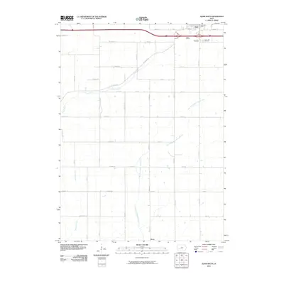 2010 Adair South2010 Print · USGSCovers Adair, including Cass County, Adair County, and other nearby areas
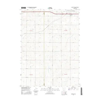
 - 2010 Map of Adair North, 2010 Print
 2010 Adair North2010 Print · USGSCovers Adair, including Grant Township, Kenfield, and other nearby areas
 - 2013 Map of Adair North, 2013 Print
 2013 Adair North2013 Print · USGSCovers Adair, including Grant Township, Kenfield, and other nearby areas
 - 2013 Map of Adair South, 2013 Print
 2013 Adair South2013 Print · USGSCovers Adair, including Cass County, Adair County, and other nearby areas
 - 2015 Map of Adair North, 2015 Print
 2015 Adair North2015 Print · USGSCovers Adair, including Grant Township, Kenfield, and other nearby areas
 - 2015 Map of Adair South, 2015 Print
 2015 Adair South2015 Print · USGSCovers Adair, including Cass County, Adair County, and other nearby areas
 - 2018 Map of Adair South, 2018 Print
 2018 Adair South2018 Print · USGSCovers Adair, including Cass County, Adair County, and other nearby areas
 - 2018 Map of Adair North, 2018 Print
 2018 Adair North2018 Print · USGSCovers Adair, including Grant Township, Kenfield, and other nearby areas
 - 2022 Map of Adair North, 2022 Print
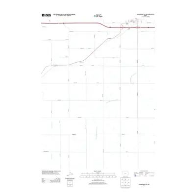
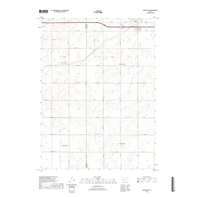
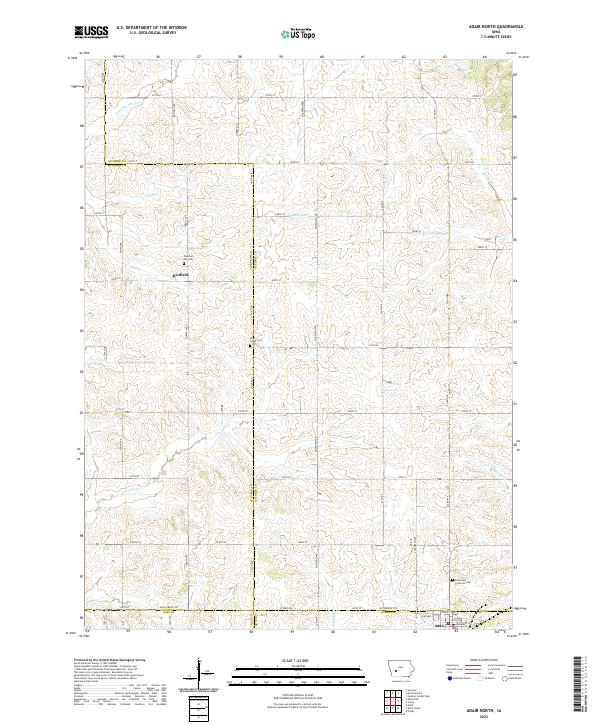 2022 Adair North2022 Print · USGSThe rural borders of Guthrie, Audubon, Adair, and Cass counties are captured here in the early twenty-first century. Researchers can locate family farm sites and historical burial grounds like Pleasant Hill Cem and Saint Johns Cem near Kenfield.
 - 2022 Map of Adair South, 2022 Print
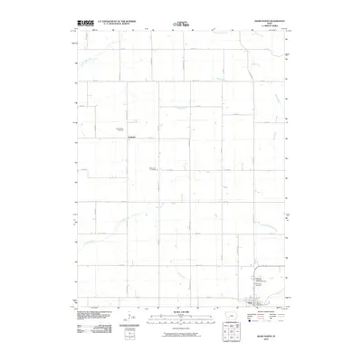
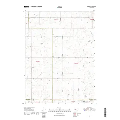
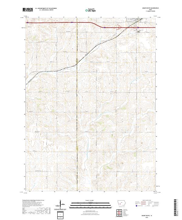 2022 Adair South2022 Print · USGSThe southern outskirts of Adair are shown here as they appeared in the early 2020s, dominated by a network of rural section roads and winding river forks. Genealogists can locate Saint Johns Cem and Sunnyhill Cem or trace family lands along Baltimore Rd and Dallas Rd.
End of results
Showing maps 1-10 of 10
Top cities near Adair
- Greenfield historical maps
- Guthrie Center historical maps
- Anita historical maps
- Fontanelle historical maps
- Casey historical maps
- Cumberland historical maps
Frequently asked questions
- What are the different types of historical maps available for Adair?
- What is the oldest map of Adair?
- Where can I purchase historical maps of Adair for my home or office?
- Where can I download high-res historical maps of Adair?
- Are there historical topographic maps available for Adair?
- Is there historical aerial imagery available for Adair?
- Where are historical maps of Adair sourced from?