Old Maps of Adair, Iowa for Academic Research
Study the evolution of Adair with 19 high-resolution historic maps. Whether you're teaching, researching, or modeling changes in land use, these maps provide essential visual documentation of urban, environmental, and geographic change.
- Analyze long-term change: Track patterns in development, transportation, and natural features.
- Ideal for environmental or urban studies: Support academic projects with primary historical map data.
- Use in the classroom or lab: Educators and researchers rely on these maps to bring historical context to life.
These maps are a powerful tool for teaching, research, and visualizing how Adair has changed over the decades.
Adair, IA maps
(19)- 1954 Map of Omaha, 1967 Print
 1954 Omaha1967 Print · USGSMid-century development radiates from the river bluffs into the agricultural heartland during this period of post-war growth. Genealogists and historians can trace rail-connected towns like Atlantic and Red Oak or locate the sprawling grounds of Offutt Air Force Base and Manawa Lake.3 unique versions available
 - 1957 Map of Omaha
 1957 Omaha1957 Print · USGSWestern Iowa and the Missouri River valley are seen here in the mid-fifties during the height of the rail-and-road era. Researchers can trace the sprawling rail lines of the Chicago And North Western or locate Cold War landmarks like Offutt Air Force Base.
 - 1958 Map of Omaha
 1958 Omaha1958 Print · USGSOmaha and Council Bluffs stand at the center of this mid-fifties landscape, where the Missouri River splits the urban plains of Nebraska from the rolling hills of western Iowa. Genealogists can trace the rail lines of the Wabash RR and Illinois Central RR to rural settlements like Missouri Valley and Red Oak.2 unique versions available
 - 1971 Map of Adair South, 1973 Print
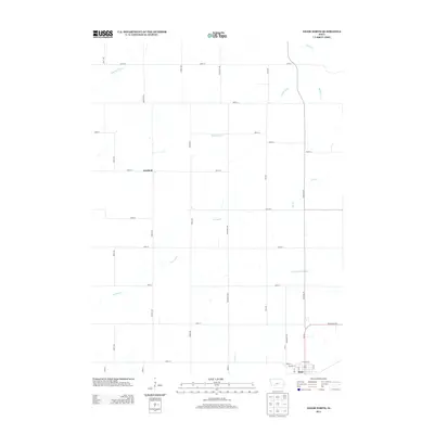
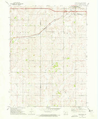 1971 Adair South1973 Print · USGSThe agricultural landscape between Adair and Cass counties is captured here in the early 1970s. Genealogists and local historians can trace the town’s footprint near St Johns Cem or follow the path of the Chicago Rock Island and Pacific rail line.
 - 1971 Map of Adair North, 1973 Print
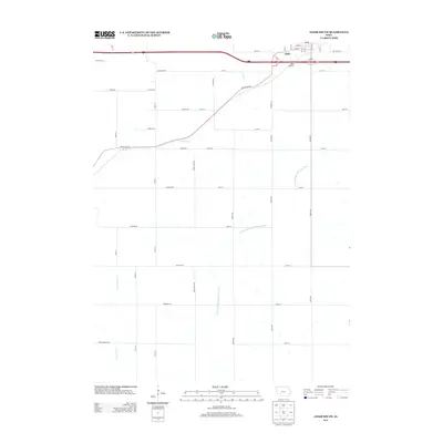
 1971 Adair North1973 Print · USGSGuthrie, Audubon, and Adair counties converge in this early 1970s landscape of rolling prairie and winding creek beds. Researchers can locate specific rural landmarks like St Johns Church and Kenfield, or trace the path of the Old RR Grade.
 - 1984 Map of Guthrie Center, 1985 Print
 1984 Guthrie Center1985 Print · USGSWest-central Iowa's river valleys and farming townships are shown here in the mid-1980s, highlighting a network of conservation areas and historic rail towns. Genealogists and local historians can locate Violet Hill Cem, trace the Chicago and North Western railroad, or explore the grounds of Springbrook State Park.
 - 1985 Map of Creston
 1985 Creston1985 Print · USGSSouthwest Iowa in the mid-eighties shows a landscape of established farm towns and growing regional hubs connected by vital rail lines. Genealogists and local historians can trace landmarks like Graceland Cem, the Southwestern Community College campus, and the Burlington Northern railroad route.
 - 1993 Map of Guthrie Center
 1993 Guthrie Center1993 Print · USGSWestern Iowa in the early 1990s showcases a network of river-valley towns and essential rail corridors. Researchers can trace local landmarks like Violet Hill Cem and the Chicago and North Western RR through Coon Rapids and Panora.
 - 1993 Map of Creston
 1993 Creston1993 Print · USGSSouthwestern Iowa in the early nineties shows a landscape of established farm towns and modern water reservoirs. Genealogists and local historians can trace the streets of Creston and Winterset, or find rural landmarks like Graceland Cem and Arbor Hill.
 - 2010 Map of Adair South, 2010 Print
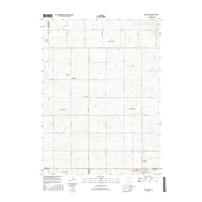
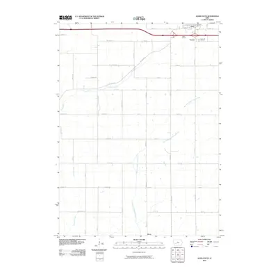 2010 Adair South2010 Print · USGSCovers Adair, including Cass County, Adair County, and other nearby areas
 - 2010 Map of Adair North, 2010 Print
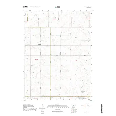
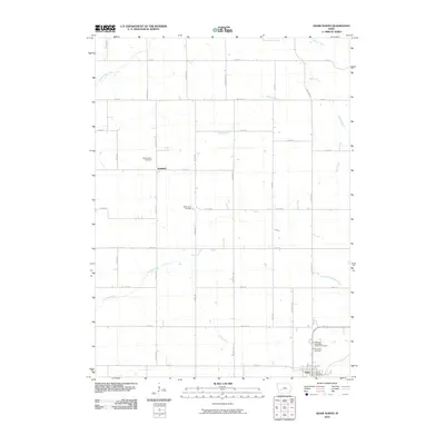 2010 Adair North2010 Print · USGSCovers Adair, including Grant Township, Kenfield, and other nearby areas
 - 2013 Map of Adair North, 2013 Print
 2013 Adair North2013 Print · USGSCovers Adair, including Grant Township, Kenfield, and other nearby areas
 - 2013 Map of Adair South, 2013 Print
 2013 Adair South2013 Print · USGSCovers Adair, including Cass County, Adair County, and other nearby areas
 - 2015 Map of Adair North, 2015 Print
 2015 Adair North2015 Print · USGSCovers Adair, including Grant Township, Kenfield, and other nearby areas
 - 2015 Map of Adair South, 2015 Print
 2015 Adair South2015 Print · USGSCovers Adair, including Cass County, Adair County, and other nearby areas
 - 2018 Map of Adair South, 2018 Print
 2018 Adair South2018 Print · USGSCovers Adair, including Cass County, Adair County, and other nearby areas
 - 2018 Map of Adair North, 2018 Print
 2018 Adair North2018 Print · USGSCovers Adair, including Grant Township, Kenfield, and other nearby areas
 - 2022 Map of Adair North, 2022 Print
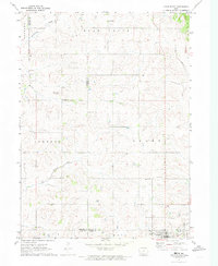
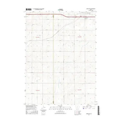
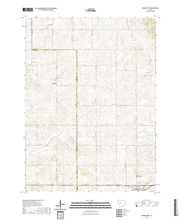 2022 Adair North2022 Print · USGSThe rural borders of Guthrie, Audubon, Adair, and Cass counties are captured here in the early twenty-first century. Researchers can locate family farm sites and historical burial grounds like Pleasant Hill Cem and Saint Johns Cem near Kenfield.
 - 2022 Map of Adair South, 2022 Print
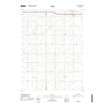
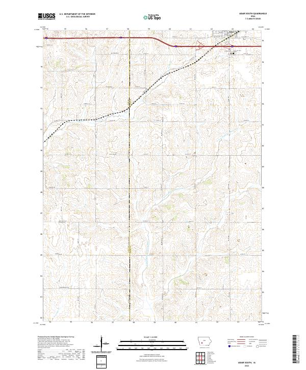 2022 Adair South2022 Print · USGSThe southern outskirts of Adair are shown here as they appeared in the early 2020s, dominated by a network of rural section roads and winding river forks. Genealogists can locate Saint Johns Cem and Sunnyhill Cem or trace family lands along Baltimore Rd and Dallas Rd.
End of results
Showing maps 1-19 of 19
Top cities near Adair
- Greenfield historical maps
- Guthrie Center historical maps
- Anita historical maps
- Fontanelle historical maps
- Casey historical maps
- Cumberland historical maps
Frequently asked questions
- What are the different types of historical maps available for Adair?
- What is the oldest map of Adair?
- Where can I purchase historical maps of Adair for my home or office?
- Where can I download high-res historical maps of Adair?
- Are there historical topographic maps available for Adair?
- Is there historical aerial imagery available for Adair?
- Where are historical maps of Adair sourced from?