Old Maps of Appanoose County, Iowa for Genealogy
Trace your family roots with 109 historic maps of Appanoose County. These high-res maps reveal old neighborhoods, homesites, landmarks, and streets — helping you uncover where your ancestors lived and how the area evolved over time.
- Explore historic neighborhoods: Identify where your relatives may have lived in the 1800s or 1900s.
- Compare maps over time: Trace the changes in streets, buildings, and landmarks for multi-generational research.
- Perfect for genealogy & ancestry research: Used by family historians and researchers to map out lineage and migration.
These maps are an incredible resource for exploring your personal connection to Appanoose County's past.
Appanoose County, IA maps
(109)- 1935 Map of Russell, 1958 Print
 1935 Russell1958 Print · USGSSouthern Iowa in the mid-thirties was a landscape of river-valley farms and rail-connected towns like Russell and Melrose. Researchers can trace old township school locations such as Brush College Sch and Rabbit Hill Sch or locate the New York Cem.2 unique versions available
 - 1938 Map of Russell
 1938 Russell1938 Print · USGSSouthern Iowa's rural school and rail network are preserved here during the mid-1930s. Genealogists can trace family footprints across dozens of local landmarks like Hilledgeville Cem, Rabbit Hill Sch, and the settlement of Confidence.2 unique versions available
 - 1939 Map of Centerville, 1954 Print
 1939 Centerville1954 Print · USGSAppanoose County sits at a busy rail crossroads in the late thirties, just as the regional landscape was transitioning toward modern infrastructure. Genealogists can trace family footprints across dozens of rural landmarks like Cornbread College Sch, Jewish Cem, and Cincinnati.3 unique versions available
 - 1939 Map of Mystic, 1966 Print
 1939 Mystic1966 Print · USGSAppanoose County in the late thirties is a landscape of thriving rural townships and busy rail junctions. Genealogists and historians can trace family roots through numerous country schools like Buffalo Wallow Sch and churches such as Wesley Chapel.
 - 1941 Map of Centerville
 1941 Centerville1941 Print · USGSAppanoose County stands at a peak of rural development in the late thirties, where a dense network of railroads connects bustling border towns. Genealogists can trace family roots through numerous one-room schoolhouses like Cornbread College Sch and landmarks such as Livengod Cem.
 - 1942 Map of Mystic
 1942 Mystic1942 Print · USGSSouthern Iowa coal and rail communities are mapped here just before the mid-century, showing a landscape tied to the Chariton River. Researchers can trace rural school districts like Hedge College Sch and vanished mining-era stops including Brazil and Rathbun.
 - 1942 Map of Seymour, 1954 Print
 1942 Seymour1954 Print · USGSSouthern Iowa and the Missouri borderlands are captured here just as the rural schoolhouse era reached its peak. Genealogists can trace family roots through dozens of local landmarks like Genoa Cem, Locust Valley Mine, and the Kniffin Sch.
 - 1944 Map of Seymour
 1944 Seymour1944 Print · USGSSouthern Iowa and northern Missouri are captured here in the early 1940s, showing a landscape defined by crossing rail lines and small-town junctions. Genealogists can locate numerous country schools and burial sites like Genoa Cem, Schultz Cem, and Happy Hollow Sch.2 unique versions available
 - 1954 Map of Centerville, 1967 Print
 1954 Centerville1967 Print · USGSThe Iowa-Missouri borderlands at mid-century reveal a landscape shaped by river valleys and the height of the regional rail network. Genealogists and historians can trace the paths of the Wabash railroad and locate old townsites like Mystic, Moulton, and Greentop.3 unique versions available
 - 1957 Map of Centerville
 1957 Centerville1957 Print · USGSThe Iowa-Missouri borderlands in the mid-fifties reveal a landscape of river-valley agriculture and vital rail corridors. Genealogists and historians can trace family-named landmarks and small-town growth in Centerville, Kirksville, and along the Wabash railroad line.
 - 1958 Map of Centerville
 1958 Centerville1958 Print · USGSThe Iowa-Missouri borderlands come into focus during the mid-fifties, showing a landscape defined by river valleys and intersecting rail lines. Genealogists and local historians can trace family roots through dozens of rural hubs like Bloomfield, Unionville, and Corydon.
 - 1966 Map of Plano, 1967 Print
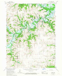 1966 Plano1967 Print · USGSSouthern Iowa is shown here just as the landscape was being reshaped by the rising waters of the Rathbun Reservoir. Genealogists and local historians can trace the foundations of this rural community through the Philadelphia Ch, Jones Cem, and an Old Railroad Grade.
 - 1966 Map of Hiattsville, 1967 Print
 1966 Hiattsville1967 Print · USGSAppanoose County enters a period of major change in the mid-1960s as the Chariton River valley is prepared for flooding. Genealogists and local historians can trace family plots at Salem Cem and New Hope Cem while scouting old rail stops like Maine and Hiattsville.
 - 1966 Map of Mystic, 1967 Print
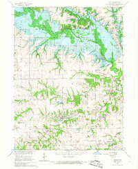 1966 Mystic1967 Print · USGSAppanoose County is captured during the mid-sixties transition as the Chariton River valley prepared for inundation. Researchers can trace the legacy of coal mining and rail travel through Mystic, Brazil, and the Rathbun Dam (under construction).
 - 1968 Map of Unionville, 1971 Print
 1968 Unionville1971 Print · USGSAppanoose and Davis counties are captured in the late sixties as a landscape of rural townships and rail corridors. Researchers can trace the legacy of local families at Eaton Cem and Taylor Cem or follow the route of the Old Railroad Grade.
 - 1968 Map of Blakesburg, 1971 Print
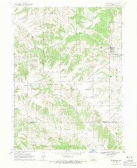 1968 Blakesburg1971 Print · USGSSouthern Iowa farm country and the town of Blakesburg appear here in the late sixties at a rare juncture of four counties. Genealogists can trace family names through rural landmarks like Eslinger Cem, Trussell Cem, and the Union Chapel school and church area.2 unique versions available
 - 1979 Map of Lake Thunderhead, 1980 Print
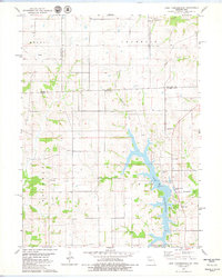 1979 Lake Thunderhead1980 Print · USGSThe Missouri-Iowa borderlands underwent significant change in the late seventies as the waters of Lake Thunderhead reshaped the terrain. Genealogists and local historians can locate long-standing landmarks like Genoa, Franklin Ch, and Union Cem alongside newer developments.
 - 1979 Map of Seymour East, 1980 Print
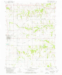 1979 Seymour East1980 Print · USGSThe borderlands of Wayne and Appanoose Counties are captured here in the late seventies, showing a landscape shaped by competing rail lines. Genealogists and local historians can locate several rural landmarks including Little Flock Chapel, Crossroads Cem, and the settlement of Jerome.
 - 1979 Map of Mendota, 1980 Print
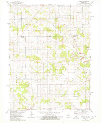 1979 Mendota1980 Print · USGSThe borderlands of Iowa and Missouri come to life in this late-seventies survey of Appanoose and Putnam counties. Genealogists and historians can trace the Old Railroad Grade and locate ancestral sites like Boswell Cemetery, Stringtown Church, and the village of Mendota.
 - 1979 Map of Coatsville, 1980 Print
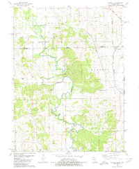 1979 Coatsville1980 Print · USGSThe Missouri-Iowa border comes into focus in the late 1970s, showing a landscape defined by the winding Chariton River and rural rail lines. Genealogists can locate numerous burial grounds and remote landmarks like Pleasant Grove Cem, Coal City, and Hilltown Ch.
 - 1979 Map of Centerville East, 1980 Print
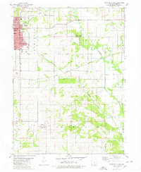 1979 Centerville East1980 Print · USGSCenterville and the surrounding Appanoose County countryside are captured here in the late seventies. Researchers can trace the legacy of local coal or clay industries through Claypits and follow the rail history of the Old Railroad Grade and Exline.
 - 1979 Map of Moulton, 1980 Print
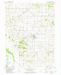 1979 Moulton1980 Print · USGSAppanoose County agricultural life and rail infrastructure are captured here in the late seventies. Genealogists can locate several family landmarks including Orleans Cem and Garland Cem, or trace the path of the Burlington Northern railroad.
 - 1979 Map of Centerville West, 1980 Print
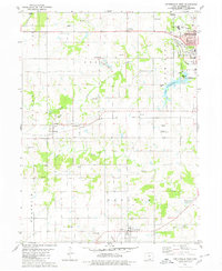 1979 Centerville West1980 Print · USGSAppanoose County sits at a crossroads of industry and local tradition during the late seventies, as the coal mining legacy and rail networks continued to shape the land. Genealogists can trace numerous family plots including Felkner Cem and Hibbsville Cem near the historic Numa and Cincinnati settlements.
 - 1980 Map of Omaha
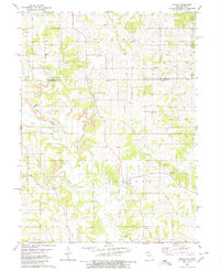 1980 Omaha1980 Print · USGSThe Missouri-Iowa border comes into focus in the late 1970s, showing a rural landscape shaped by agriculture and coal. Researchers can trace family history through several burial sites like Mitchell Cem and Summers Cem or locate the Strip Mines near Omaha.
 - 1981 Map of Centerville, 1982 Print
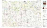 1981 Centerville1982 Print · USGSThe borderlands of southern Iowa and northern Missouri are captured here in the early eighties as Rathbun Lake and the Chariton River define the local geography. Researchers can trace historic rail lines like the Norfolk and Western and locate vanished hamlets such as Coal City and Glenwood Junction.
Showing maps 1-25 of 109
Top cities of Appanoose County
- Centerville historical maps
- Moravia historical maps
- Moulton historical maps
- Mystic historical maps
- Cincinnati historical maps
- Exline historical maps
See more
Frequently asked questions
- What are the different types of historical maps available for Appanoose County?
- What is the oldest map of Appanoose County?
- Where can I purchase historical maps of Appanoose County for my home or office?
- Where can I download high-res historical maps of Appanoose County?
- Are there historical topographic maps available for Appanoose County?
- Is there historical aerial imagery available for Appanoose County?
- Where are historical maps of Appanoose County sourced from?