Old Maps of Audubon County, Iowa
Explore 79 old maps of Audubon County, spanning from 1954 to today. These high-resolution historic maps reveal how streets, neighborhoods, landmarks, and natural features evolved over time — perfect for genealogy, metal detecting, research, and local history exploration.
What you can do with these maps:
- See how Audubon County changed over time: Compare historical maps to modern-day views to trace roads, homesites, rail lines & more.
- View detailed metadata: Each map includes creators, publishers, year, scale, and archive source.
- Overlay maps with satellite & LiDAR: Visualize the past alongside modern tools to explore terrain & human change.
- Trusted historical sources: Maps sourced from the USGS, Library of Congress, and other archives.
- Access maps your way: View online, download high-res files, or order prints for personal or research use.
Start exploring old maps of Audubon County to uncover forgotten places, hidden landmarks, and the deep history beneath your feet.
Audubon County, IA maps
(79)- 1954 Map of Omaha, 1967 Print
 1954 Omaha1967 Print · USGSMid-century development radiates from the river bluffs into the agricultural heartland during this period of post-war growth. Genealogists and historians can trace rail-connected towns like Atlantic and Red Oak or locate the sprawling grounds of Offutt Air Force Base and Manawa Lake.3 unique versions available
 - 1957 Map of Omaha
 1957 Omaha1957 Print · USGSWestern Iowa and the Missouri River valley are seen here in the mid-fifties during the height of the rail-and-road era. Researchers can trace the sprawling rail lines of the Chicago And North Western or locate Cold War landmarks like Offutt Air Force Base.
 - 1957 Map of Audubon, 1958 Print
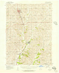 1957 Audubon1958 Print · USGSCentral Iowa farmland is captured here in the 1950s, centered on the Audubon and Exira rail corridors. You can trace early schoolhouse locations like School No 9 and find local family landmarks such as St Patricks Cem and the County Fairground.2 unique versions available
 - 1958 Map of Omaha
 1958 Omaha1958 Print · USGSOmaha and Council Bluffs stand at the center of this mid-fifties landscape, where the Missouri River splits the urban plains of Nebraska from the rolling hills of western Iowa. Genealogists can trace the rail lines of the Wabash RR and Illinois Central RR to rural settlements like Missouri Valley and Red Oak.2 unique versions available
 - 1971 Map of Coon Rapids South, 1973 Print
 1971 Coon Rapids South1973 Print · USGSGuthrie and Carroll counties come together in the early seventies as the rail-and-river economy centers on Coon Rapids. Researchers can trace old family plots at Tuttles Grove Cem or locate the rural Townhall near the banks of Brushy Creek.
 - 1971 Map of Viola Center, 1973 Print
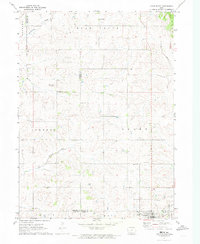
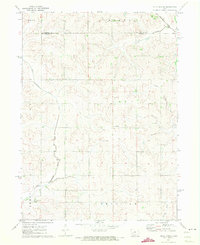 1971 Viola Center1973 Print · USGSThe rural borders of Audubon and Carroll counties are captured here in the early 1970s, showcasing a landscape of section-line roads and winding river valleys. Local historians can locate the Viola Center Cem and trace the course of the East Nishnabotna River.
 - 1971 Map of North Branch, 1973 Print
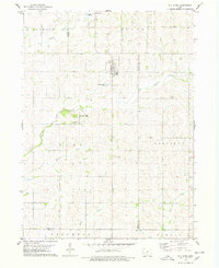
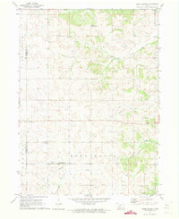 1971 North Branch1973 Print · USGSGuthrie County and Audubon County are captured here in the early 1970s as agricultural life centered around small township hubs. Genealogists and local historians can trace the locations of Bowman Chapel, Township Cem, and the settlement of North Branch.
 - 1971 Map of Gray, 1973 Print
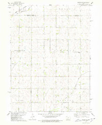
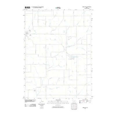
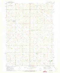 1971 Gray1973 Print · USGSThe rural landscape of Audubon and Carroll counties is captured here in the early seventies, centered on the small communities of Gray and Ross. Genealogists and researchers can locate family plots at Gray Cem or Cameron Cem and trace the forks of the East Nishnabotna River.
 - 1971 Map of Adair North, 1973 Print
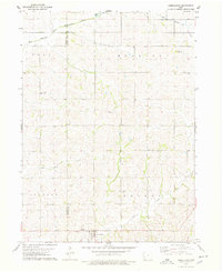
 1971 Adair North1973 Print · USGSGuthrie, Audubon, and Adair counties converge in this early 1970s landscape of rolling prairie and winding creek beds. Researchers can locate specific rural landmarks like St Johns Church and Kenfield, or trace the path of the Old RR Grade.
 - 1978 Map of Elk Horn
 1978 Elk Horn1978 Print · USGSThe Danish settlements of the Iowa plains are captured here in the late seventies as established rural communities. Genealogists can trace family roots through sites like Carlsen-Larsen Cem or explore the drainage of Elkhorn Creek and Buck Creek.
 - 1978 Map of Kimballton
 1978 Kimballton1978 Print · USGSThe borderlands of Audubon and Shelby Counties are captured here in the late seventies, showing a landscape of productive farms and small rural centers. Researchers can trace family roots at Ebenezer Cem or locate the historic sites of Poplar, Fiscus, and Kimballton.
 - 1978 Map of Manning SE
 1978 Manning SE1978 Print · USGSWestern Iowa's agricultural heartland is documented here in the late seventies, where four counties converge at the headwaters of the Nishnabotna system. Genealogists and local historians can locate rural landmarks like Trinity Ch, the Township Cem, and the path of the Chicago and North Western railroad.
 - 1980 Map of Harlan
 1980 Harlan1980 Print · USGSWestern Iowa and the Nebraska borderlands are shown in the early eighties as a vital corridor of rail and river commerce. Genealogists and local historians can trace family roots through old rural crossroads like Beebeetown and Westphalia, or locate landmarks like Rose Hill Cem.
 - 1983 Map of Exira West, 1984 Print
 1983 Exira West1984 Print · USGSThe East Nishnabotna River valley in the early 1980s reveals a classic Iowa landscape of river-side towns and rural townships. Researchers can find well-preserved details of Exira, Brayton, and several country cemeteries like St Johns Cem and Oakfield Cem.
 - 1983 Map of Exira East, 1984 Print
 1983 Exira East1984 Print · USGSThe town of Exira and its surrounding townships are shown here in the early 1980s, capturing the structured rural layout of Audubon County. Researchers can trace family history through several local landmarks, including Holy Trinity Cem, Grove Cem, and Littlefield County Park.
 - 1983 Map of Gardner, 1984 Print
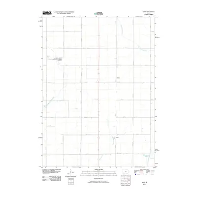
 1983 Gardner1984 Print · USGSAudubon County’s rural townships are shown here in the early eighties as a strictly ordered grid of family farms and creek valleys. Genealogists can locate family holdings near Gardner and Larland, or find records at the Township Cem along the drainage of Honey Creek.
 - 1983 Map of Audubon, 1984 Print
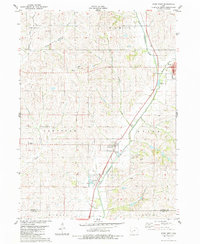
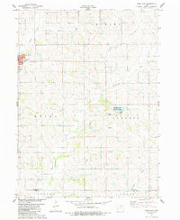
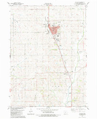 1983 Audubon1984 Print · USGSAudubon and the surrounding prairie townships are captured here in the early eighties as the community balanced its civic core with its river-valley agriculture. You can trace the locations of family burial grounds at Aretas Lodge Cemetery and Danish Cemetery, or locate the Courthouse and County Fairgrounds.
 - 1984 Map of Guthrie Center, 1985 Print
 1984 Guthrie Center1985 Print · USGSWest-central Iowa's river valleys and farming townships are shown here in the mid-1980s, highlighting a network of conservation areas and historic rail towns. Genealogists and local historians can locate Violet Hill Cem, trace the Chicago and North Western railroad, or explore the grounds of Springbrook State Park.
 - 1993 Map of Guthrie Center
 1993 Guthrie Center1993 Print · USGSWestern Iowa in the early 1990s showcases a network of river-valley towns and essential rail corridors. Researchers can trace local landmarks like Violet Hill Cem and the Chicago and North Western RR through Coon Rapids and Panora.
 - 2010 Map of Gray, 2010 Print
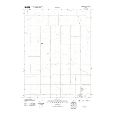
 2010 Gray2010 Print · USGSCovers Audubon County, including Gray, Ross, and other nearby areas
 - 2010 Map of Gardner, 2010 Print
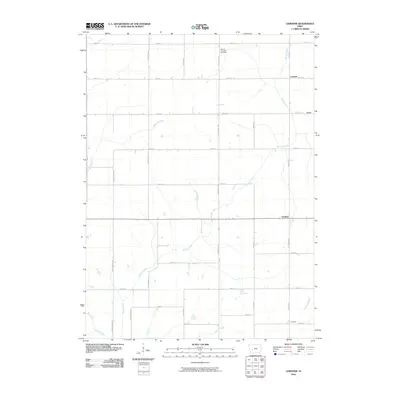 2010 Gardner2010 Print · USGSCovers Audubon County, including Gardner, Larland, and other nearby areas
 - 2010 Map of Exira East, 2010 Print
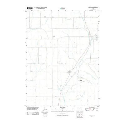
 2010 Exira East2010 Print · USGSCovers Audubon County, including Exira, Cass County, and other nearby areas
 - 2010 Map of North Branch, 2010 Print
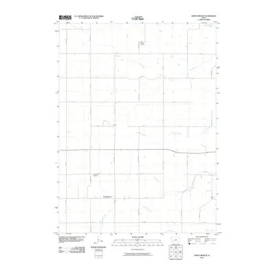 2010 North Branch2010 Print · USGSCovers Audubon County, including Seely Township, Union Township, and other nearby areas
 - 2010 Map of Adair North, 2010 Print
 2010 Adair North2010 Print · USGSCovers Audubon County, including Adair, Grant Township, and other nearby areas
 - 2010 Map of Exira West, 2010 Print
 2010 Exira West2010 Print · USGSCovers Audubon County, including Exira, Brayton, and other nearby areas
Showing maps 1-25 of 79
Top cities of Audubon County
- Audubon historical maps
- Exira historical maps
- Kimballton historical maps
- Brayton historical maps
- Gray historical maps
Frequently asked questions
- What are the different types of historical maps available for Audubon County?
- What is the oldest map of Audubon County?
- Where can I purchase historical maps of Audubon County for my home or office?
- Where can I download high-res historical maps of Audubon County?
- Are there historical topographic maps available for Audubon County?
- Is there historical aerial imagery available for Audubon County?
- Where are historical maps of Audubon County sourced from?