2010s Maps of Audubon County, Iowa
Explore 48 historic maps of Audubon County from the 2010s. These maps offer a rare glimpse into what life looked like during the 2010s — showing old roads, neighborhoods, homes, and landmarks that have changed or disappeared over time.
Whether you're researching your family's past, planning a metal detecting trip, or studying how Audubon County's landscape evolved across the 2010s, these high-resolution maps are a powerful tool for exploring the history of this region.
- Focus on a specific era: All maps on this page are from the 2010s, giving you a focused view of this time period.
- See what’s changed: Compare century-old streets, trails, and buildings to today's modern landscape using overlays and satellite layers.
- Research with precision: Use these maps for genealogy, historical research, land use analysis, or educational projects.
- View, download, or print: Maps are fully viewable online in high resolution, and can be downloaded or printed for your own records.
Start exploring Audubon County's history through authentic maps from the 2010s. This is your window into the past.
Audubon County, IA maps
(48)- 2010 Map of Gray, 2010 Print
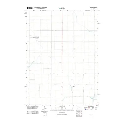 2010 Gray2010 Print · USGSAudubon County at the start of the 2010s reveals a structured landscape of family farms and small-town centers. Genealogists and local researchers can locate landmarks like Gray Cemetery, Cameron Cemetery, and the Heritage Rose Garden in the community of Gray.
 - 2010 Map of Gardner, 2010 Print
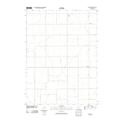 2010 Gardner2010 Print · USGSAudubon County at the start of the century remains a landscape of traditional farming settlements and a meticulously planned road grid. Researchers can trace the locations of Gardner, Larland, and the Melville Township Cemetery along the banks of Davids Creek.
 - 2010 Map of Exira East, 2010 Print
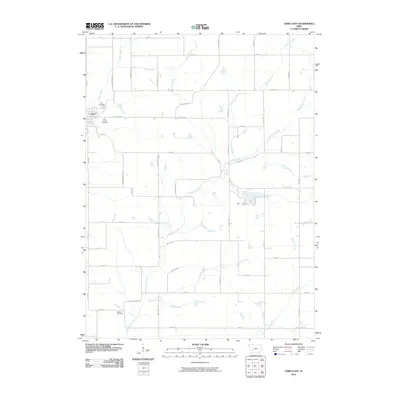 2010 Exira East2010 Print · USGSAudubon County at the turn of the millennium remains a quintessential Iowa landscape of creek valleys and section-line roads. Genealogists and local researchers can locate ancestral sites at Exira Cemetery, Holy Trinity Cemetery, and the rural Bowen Cemetery.
 - 2010 Map of North Branch, 2010 Print
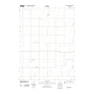 2010 North Branch2010 Print · USGSGuthrie County farm country is mapped here during the early twenty-first century, showing a landscape defined by its prairie streams. Researchers can locate North Branch and Nelson, or trace family sites near Pleasant Hill Cemetery and Union Township Cemetery.
 - 2010 Map of Adair North, 2010 Print
 2010 Adair North2010 Print · USGSAdair and the surrounding Guthrie County farmlands are documented in this recent survey during a period of modern agricultural stability. Researchers can trace rural lineages through local landmarks like Pleasant Hill Cemetery, Kenfield, and the Adair Post Office.
 - 2010 Map of Exira West, 2010 Print
 2010 Exira West2010 Print · USGSAudubon County's rural river valleys are well-preserved in this study of the landscape during the early 21st century. Genealogists can locate several family landmarks and burial sites, including the Oak Hill Cemetery, Saint Johns Cemetery, and the Exira Post Office.
 - 2010 Map of Coon Rapids South, 2010 Print
 2010 Coon Rapids South2010 Print · USGSCoon Rapids and the surrounding Carroll County farmlands are shown at the start of the decade, centered on the river forks. Genealogists can trace the rural grid to Orange Cemetery and the small communities of Tuttle Grove and Eratus.
 - 2010 Map of Elk Horn, 2010 Print
 2010 Elk Horn2010 Print · USGSElk Horn and Kimballton anchor this Shelby County landscape in the early 21st century, where Danish heritage and agriculture meet. Genealogists can locate several local burial grounds including Carlsen-Larsen Cemetery and Oakfield Cemetery, or trace rural landmarks like Wheatley Farms Airport.
 - 2010 Map of Manning SE, 2010 Print
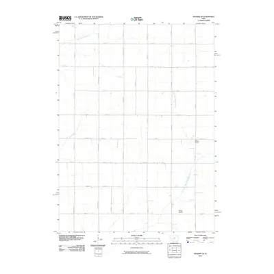 2010 Manning SE2010 Print · USGSCarroll County’s rural townships are documented here during the first decade of the new millennium. Genealogists and local historians can locate specific burial sites at Lincoln Township Cemetery and Douglas Township Cemetery along the West Nishnabotna River.
 - 2010 Map of Viola Center, 2010 Print
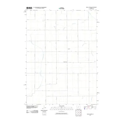 2010 Viola Center2010 Print · USGSAudubon County at the start of the 21st century reveals a landscape of enduring rural character and steady agricultural tradition. Family historians can locate Viola Center Cemetery and trace the paths of the East Nishnabotna River and South Raccoon River.
 - 2010 Map of Audubon, 2010 Print
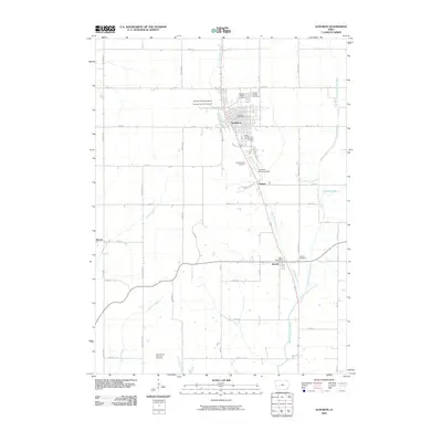 2010 Audubon2010 Print · USGSAudubon and its surrounding farming townships are captured in 2010, documenting the enduring civic centers and rural crossroads of western Iowa. Researchers can locate local landmarks like Albert the Bull Campground, the Danish Cemetery, and the Audubon County Fairground.
 - 2010 Map of Kimballton, 2010 Print
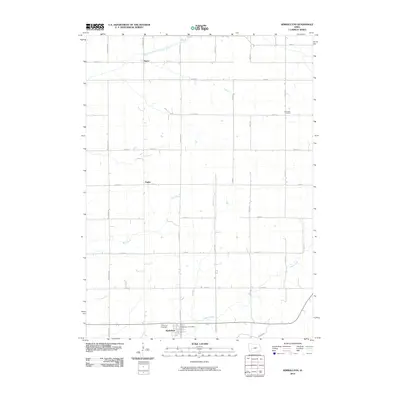 2010 Kimballton2010 Print · USGSThe rural agricultural landscapes of Audubon County are captured here in the early 21st century. Genealogists and local historians can trace family locations near the Kimballton Post Office, Ebenezer Cemetery, and the riverbanks of the East Branch West Nishnabotna River.
 - 2013 Map of Elk Horn, 2013 Print
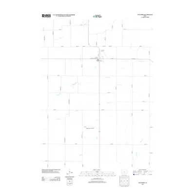 2013 Elk Horn2013 Print · USGSElk Horn and the surrounding Shelby County farmland are captured in the early twenty-first century, showcasing a highly developed agricultural landscape. Researchers can locate Wheatley Farms Airport and trace waterways like Indian Cr and Squaw Cr.
 - 2013 Map of Manning SE, 2013 Print
 2013 Manning SE2013 Print · USGSCarroll County agriculture and river drainage are documented here in the early twenty-first century. Researchers can trace land divisions and local landmarks like the Paup Hog Farm along with the winding paths of the W Nishnabotna River and Lone Willow Cr.
 - 2013 Map of Gardner, 2013 Print
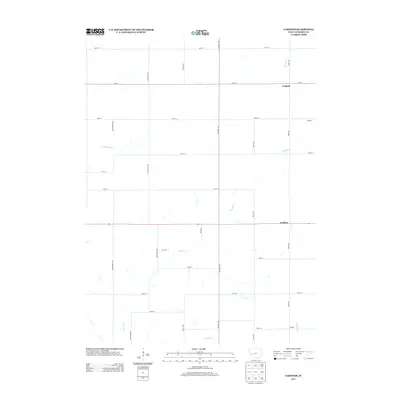 2013 Gardner2013 Print · USGSAudubon County's rural agricultural heartland is documented here in the early twenty-first century. Genealogists and local historians can trace the locations of Gardner, Larland, and Conkling along the winding banks of Davids Cr.
 - 2013 Map of Gray, 2013 Print
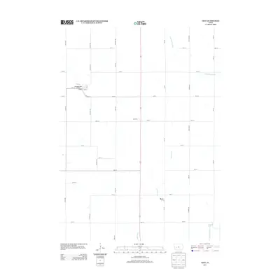 2013 Gray2013 Print · USGSAudubon County farmland is captured here in the early twenty-first century, centered on the rural communities of Gray and Ross. Genealogists and local researchers can trace the agricultural landscape from Jack Farms to the quiet Heritage Rose Garden along the Bluegrass Cr.
 - 2013 Map of Adair North, 2013 Print
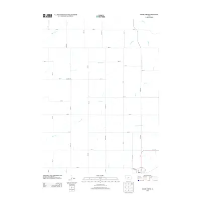 2013 Adair North2013 Print · USGSAdair and the surrounding farmland are captured here in the early twenty-first century as the traditional rural road grid remains firmly intact. Genealogists and researchers can trace the vicinity of Kenfield or follow the waters of the Middle River and Crooked Cr.
 - 2013 Map of Exira West, 2013 Print
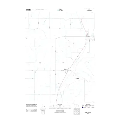 2013 Exira West2013 Print · USGSThe East Nishnabotna River valley near Exira and Brayton is documented here during the early twenty-first century. Genealogists and local historians can trace the street layouts of these river towns, identifying early corridors like Railroad St and Depot St.
 - 2013 Map of Coon Rapids South, 2013 Print
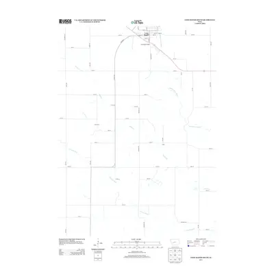 2013 Coon Rapids South2013 Print · USGSCoon Rapids and the surrounding Carroll County farmland are captured in detail during the early twenty-first century. Researchers can trace the river-and-road network connecting Coon Rapids Bridge to smaller points like Tuttle Grove and the site of Eratus.
 - 2013 Map of Audubon, 2013 Print
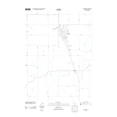 2013 Audubon2013 Print · USGSAudubon County at the start of the 2010s shows a landscape of well-ordered farms and small prairie settlements. Genealogists and local historians can trace the road networks connecting Audubon, Hamlin, and the Audubon County Fairgrounds.
 - 2013 Map of North Branch, 2013 Print
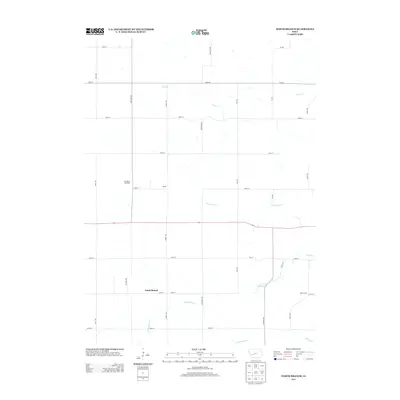 2013 North Branch2013 Print · USGSGuthrie County remains a focused agricultural landscape in the early 2010s, defined by its creek-carved terrain and section-line roads. Genealogists and local historians can trace the rural hubs of North Branch and Nelson or the industrial footprint of Van Meter Feedyard.
 - 2013 Map of Exira East, 2013 Print
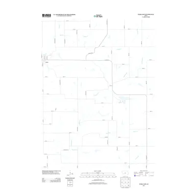 2013 Exira East2013 Print · USGSAudubon County agriculture and the town of Exira are captured here in the early twenty-first century. Researchers can trace the rural road grid and the winding paths of Troublesome Cr, Honey Cr, and Fourmile Cr across this farming landscape.
 - 2013 Map of Viola Center, 2013 Print
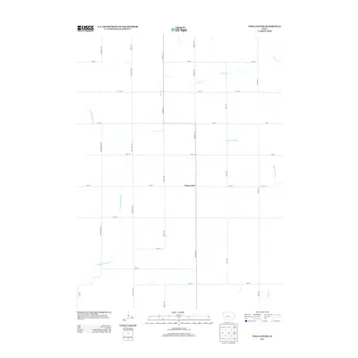 2013 Viola Center2013 Print · USGSAudubon County at the start of the 2010s reveals a structured agricultural grid divided by significant Iowa waterways. Researchers can trace the drainage of the E Nishnabotna River and the S Raccoon River near the central hub of Viola Center.
 - 2013 Map of Kimballton, 2013 Print
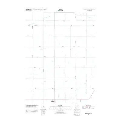 2013 Kimballton2013 Print · USGSAudubon County's rural landscape is captured here in the early twenty-first century, centered on the Danish-influenced community of Kimballton. Genealogists and local historians can trace the homesteads and crossroads near Fiscus, Poplar, and the banks of Indian Cr.
 - 2015 Map of Audubon, 2015 Print
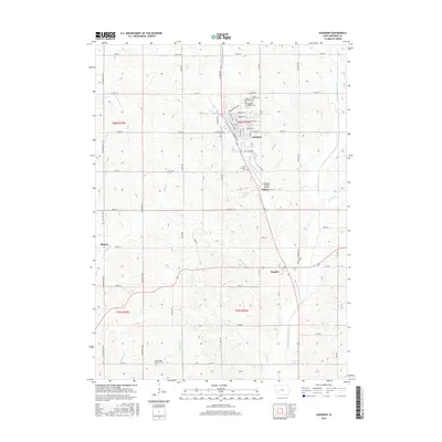 2015 Audubon2015 Print · USGSCentral Iowa's farm country and its local hamlets are detailed here in the mid-2010s. Genealogists can locate several distinct burial sites including Maple Grove Cem, Saint Patricks Cem, and Seventh Day Adventist Cem near Audubon and Hamlin.
Showing maps 1-25 of 48
Top cities of Audubon County
- Audubon historical maps
- Exira historical maps
- Kimballton historical maps
- Brayton historical maps
- Gray historical maps
Frequently asked questions
- What are the different types of historical maps available for Audubon County?
- What is the oldest map of Audubon County?
- Where can I purchase historical maps of Audubon County for my home or office?
- Where can I download high-res historical maps of Audubon County?
- Are there historical topographic maps available for Audubon County?
- Is there historical aerial imagery available for Audubon County?
- Where are historical maps of Audubon County sourced from?