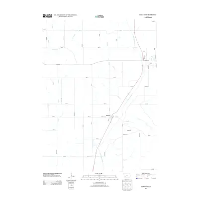
2013 Map of Exira West
USGS Topo · Published 2013About this map
The E Nishnabotna River valley anchors this portion of Audubon County, carving a path through the agricultural landscape that connects the settlements of Exira, Brayton, and Oakfield. The settlement pattern follows both the river and the legacy of the rail corridor, as seen in the street names of Brayton like Depot St and the orientation of Railroad St in Exira. This survey shows the modern road network superimposed over the traditional section-line grid, with local names like Littlefield Dr and Co Rd-F65 serving the farmsteads between the tributary waters of Elkhorn Cr, Buck Cr, and Sifford Cr. The map preserves the specific placement of these rural communities just east of the river's main channel, illustrating the historic concentration of commerce and transit in this fertile valley.
Find a feature on this map
48 named features on this map. Tap any name to fly to it.
Don’t see what you’re looking for? This feature index may not catch every label — zoom into the map to look around manually.
Map Details
Editions of this 2013 Exira West Map
This is the sole edition of this map. No revisions or reprints were ever made.
Other maps of this area

1954 · Omaha
USGS Topo · 1:250,000

1957 · Omaha
USGS Topo · 1:250,000

1957 · Audubon
USGS Topo · 1:62,500

1958 · Omaha
USGS Topo · 1:250,000

1971 · Anita
USGS Topo · 1:24,000

1971 · Wiota
USGS Topo · 1:24,000

1971 · Atlantic
USGS Topo · 1:24,000

1978 · Elk Horn
USGS Topo · 1:24,000

1978 · Kimballton
USGS Topo · 1:24,000
1980 · Harlan
USGS Topo · 1:100,000